| Hudson River Special Management Area Campsite GPS Locations |
||
| Campsite | Lat | Lng |
|---|---|---|
| Bear Slide Road Campsite 17 | 43.39771 | -73.87909 |
| Buttermilk Road Campsite 6 | 43.40177 | -73.87894 |
| Buttermilk Road Campsite 7 | 43.40396 | -73.88003 |
| Buttermilk Road Campsite 8 | 43.40593 | -73.87970 |
| Buttermilk Road Campsite 9 | 43.41207 | -73.87412 |
| Chamberlin Farm Campsite 19 | 43.43964 | -73.86749 |
| Gay Pond Road Campsite 10 | 43.41913 | -73.87855 |
| Gay Pond Road Campsite 11 | 43.41931 | -73.87515 |
| Gay Pond Road Campsite 12 | 43.41625 | -73.87513 |
| Gay Pond Road Campsite 16 | 43.41723 | -73.82246 |
| Pikes Beach Campsite 3 | 43.34594 | -73.86285 |
| Pikes Beach Campsite 4 | 43.34633 | -73.86310 |
| Scofield Flats Campsite 1 | 43.34159 | -73.85520 |
| Scofield Flats Campsite 2 | 43.34199 | -73.85580 |
| NYS DEC Data – Table by Andy Arthur, 11.29.23 | ||


Bear Slide Falls
Exploring Bear Slide Falls at the Hudson River Special Management Area in the Adirondacks.

North Pond


Clearing On Buck
You can see from this relatively open area why Buck Mountain get's it name. As mountains go, due to it's shallow soils, there is quite a bit of grass, blueberries, and underbrush, for deer to graze on.
Wednesday September 21, 2011 — Buck Mountain — Buck Mountain 🗺
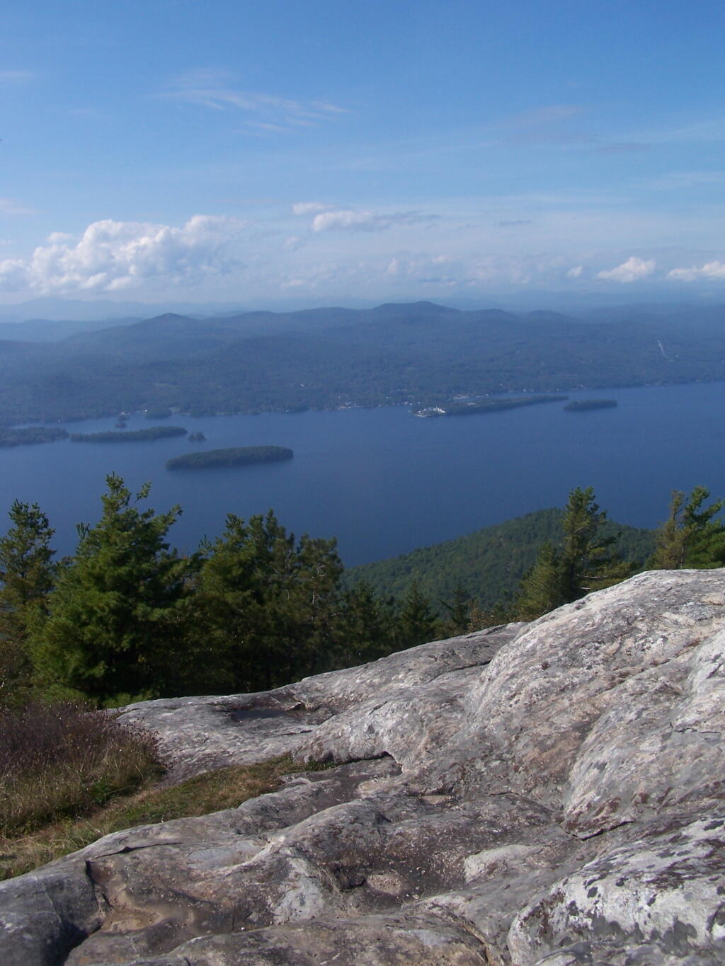
Towards Bolton Landing