Warren County 📍

Warren County is a county in the U.S. state of New York. It is part of the Glens Falls, New York, Metropolitan Statistical Area. As of the 2010 census, the population was 65,707. It is named in honor of General Joseph Warren, an American Revolutionary War hero of the Battle of Bunker Hill.The county seat is Queensbury.

According to the U.S. Census Bureau, the county has a total area of 932 square miles (2,410 km2), of which 869 square miles (2,250 km2) consists of land and 62 square miles (160 km2) (6.69%) consists of water. Warren County is situated in the eastern portion of New York state; the eastern border is Washington County. Being located in the Adirondack Mountains, it is not uncommon for mountain peaks to surpass 2,000 feet (610 m). The highest peak in the county is Gore Mountain at an elevation of 3,198 feet (975 m).

http://en.wikipedia.org/wiki/Warren_County,_New_York

🖼️ Photos 📽️ Videos

Ruby Mountain Garnet Mine

The Barton Mines Company opened this garnet mine in the 1980s, replacing its nearby mine at Gore Mountain, which it had been operating since 1878. Garnet is a hard mineral, used to make sandpaper, and abrasives for polishing glass, including lenses and optics. The Ruby Mountain mine was the source for the cornerstone for the Freedom Tower, the replacement for the World Trade Center in lower Manhattan. https://clui.org/projects/more-programs-projects/adirondack/explore-adirondack_park/ruby-mountain-garnet-mine

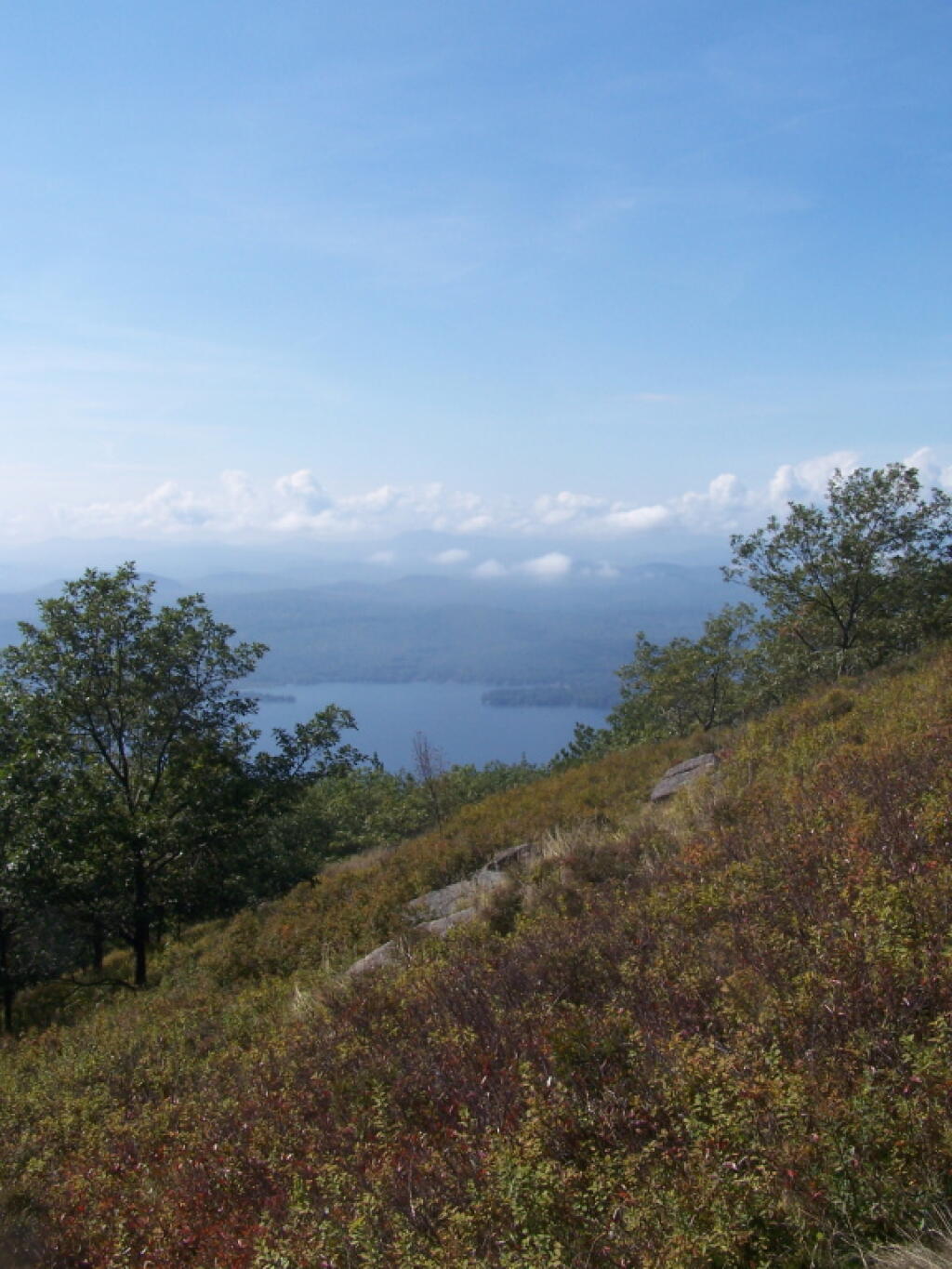
Map: Cod Pond Trailhead   Camping Opporunities
Map: Empire State Topography

Shelving Rock Road and Dacy Clearing Road

Tent camping opportunities that fill up quickly along these dirt roads (Dacy Clearing Road closed winters/spring), along with nearby trails. No camping within 500 feet of this road except in designated sites.

Shelving Rock Road and Dacy Clearing Road

Thematic Map: Percent of Land Forested – New York State Counties in 2021
Thematic Map: Critical Environmental Areas in New York State