Skip to the content
Andy Arthur.org
Super Duty dreams and off-grid schemes.
Skip to Content
Site Navigation ▼
Search for:
NYS Campsites
NYS Lean-Tos
NYS Firetowers
Places to Camp, Hunt, Hike
Find Property Owners, School Districts
The Off-Grid Future
Planning a Trip to Upper Peninsula Michigan
The F-350 SuperDuty
Remembering Big Red
Big Red is for Sale!
Living Healthy in My Forties
Silly Business of Politics
Climate Change & Greenies
Computers, Programming and Open Source Software
Neat Things You Can do With Public Data
Privacy Policy
Why Ads?
Moose River Plains
Piseco-Powley
Finger Lakes NF
Burnt-Rossman Hills
Charles Baker SF
East Branch Sacandaga
Henry Hudson Park
Bicycles
Pine Hollow Arboretum
Hollyhock Hollow Sanctuary
Summer
Change
Rural Freedom
Albany County Rail Trail
War
Five Rivers Environmental Education Center
Politics
Tioga State Forest
Louise Kerr Wildlife Management Area
Big Red
Bennett Hill Preserve
Delmar, NY
Technology
Automobile Industry
Watkins Glen, New York
Oil
Road Trips
Vromans Nose
Old Blenheim Bridge
Mine Kill State Park
Blenheim-Gilboa Visitor Center
Ithaca 📍
🖼️
Photos
📽️
Videos
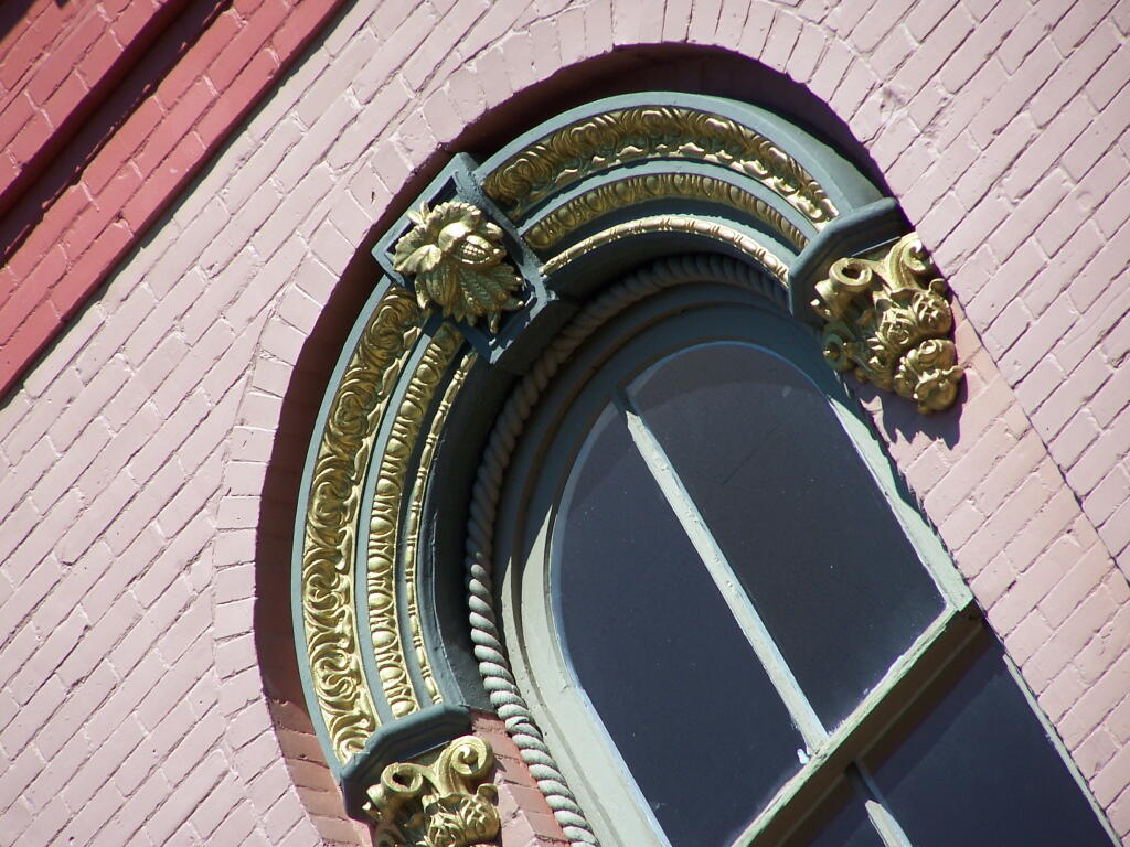
Window
Andy
|
March 1, 2009
Sunday March 1, 2009 —
Ithaca
Ithaca
Andy
|
February 26, 2009
Thursday February 26, 2009 —
Ithaca
Lowest Gear
Andy
|
January 29, 2009
Thursday January 29, 2009 —
Ithaca
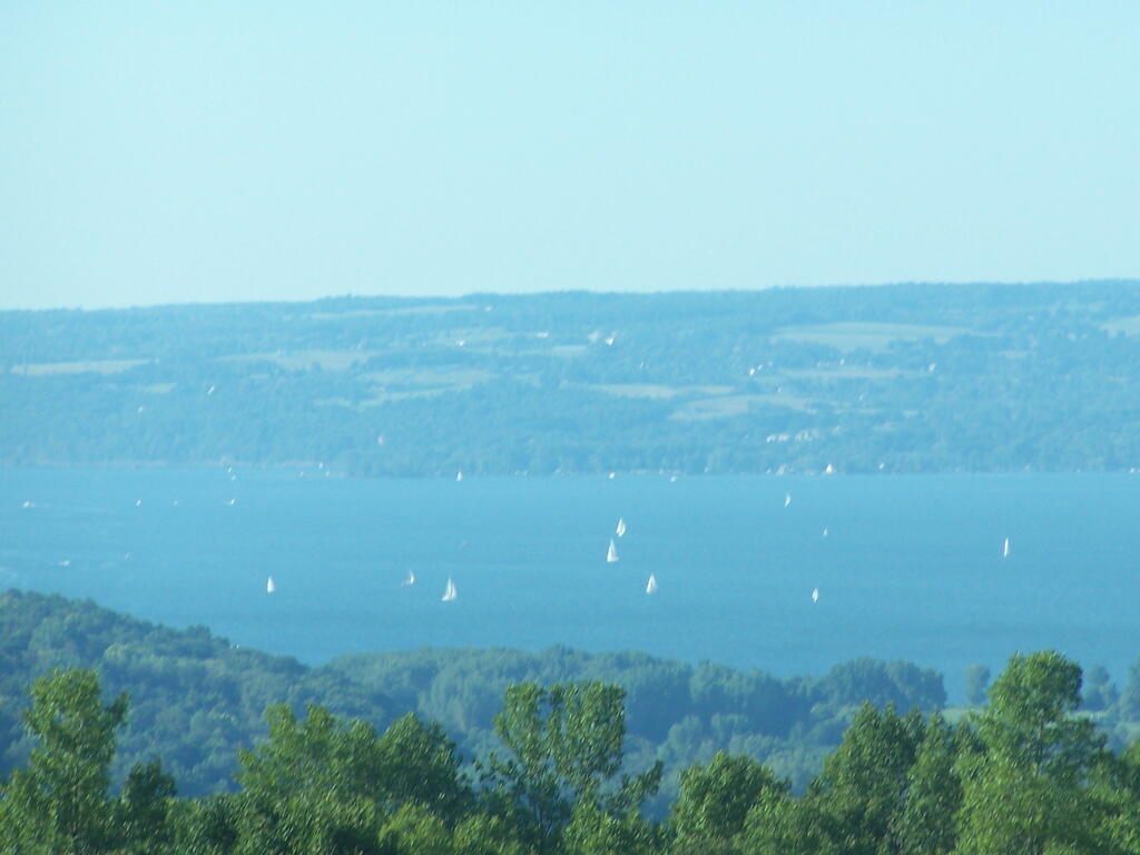
Looking Down at Cayuga
Andy
|
September 9, 2008
Tuesday September 9, 2008 —
Ithaca
Ithaca (Sep 8, 2008)
|
September 8, 2008
[nycpseries postID=”10332″]
Posts navigation
←
older
newer
→