Untitled



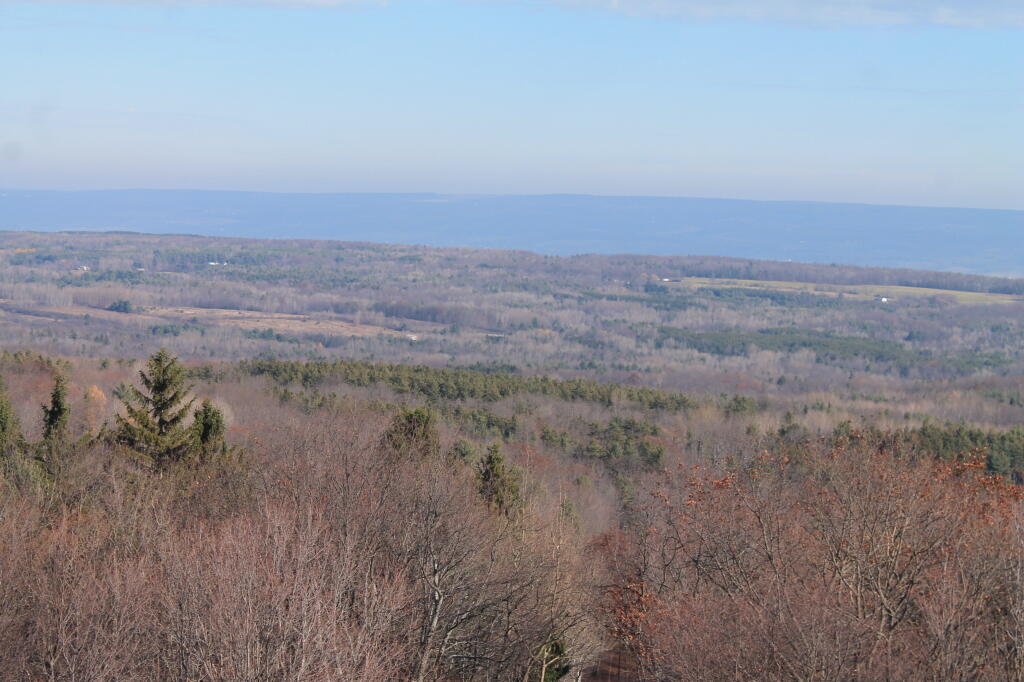
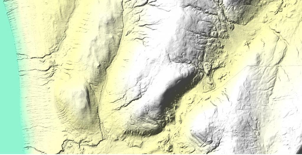
Burnt Hill at Finger Lakes National Forest is a high hill overlooking Seneca Lake with some notable gorges carved into it's sides.
The trail, marked with blue blazes, enters the 15,680-acre Lye Brook Wilderness following along Lye Brook. Utilizing old logging railroad grades and old woods roads, the trail travels up a steady gradual slope. Downed trees from a 1995 cyclonic storm and a few small stream crossings make some of the trail challenging, which is in keeping with Wilderness management practices. A century ago, this area had been heavily logged, with railroads, charcoal kilns, and sawmills dotting the landscape. The land has reverted back to its natural state, but those wishing to explore can still find the remains of many of these turn of the century industries. The spur trail at 1.8 miles on the right, leads to the 125-foot high Lye Brook Falls, one of the highest in Vermont. Slippery rocks make the falls extremely dangerous and climbing the falls is not recommended.