Connecticut Hill WMA Roads
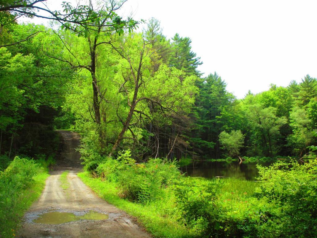
Driving some of the rough roads in Connecticut Hill WMA, going slowly not to totally trash my suspension. Powers Road to Todd Road to Swain Hill Road. Bumpy! Almost didn't clear that tree with my kayak on my big truck, swaying back and forth of those rough road.

Harvest


Pony Hollow
I am not actually sure where exactly that Finger Lakes Trust parcel is that they are adding to Connecticut Hill WMA, but if I were to guess it I am thinking it's off of Pony Hollow between the WMA and Newfield State Forest. I could be wrong though. More about the Connecticut Hill WMA: https://www.gofingerlakes.org/locations/connecticut-hill-wildlife-management-area/ And don't forget the resources on the blog here: https://andyarthur.org/connecticut-hill-wma
Connecticut Hill Pond