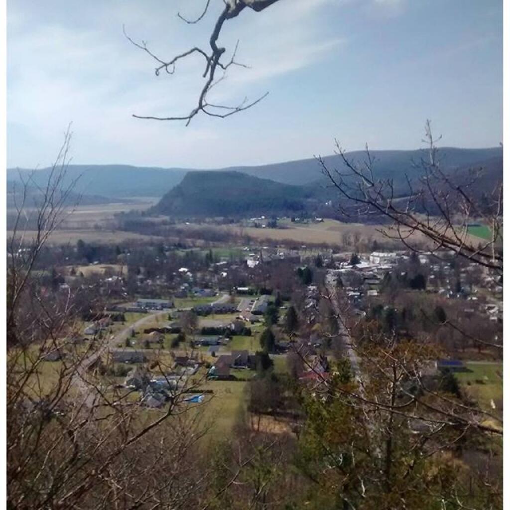
Vormans Nose Over Middleburgh


NY 145 runs up through this valley along many dairy farms, until it reaches a descent on the other side of the ridge, and ultimately East Cobelskill.
Sunday March 21, 2010 — Middleburgh Cliff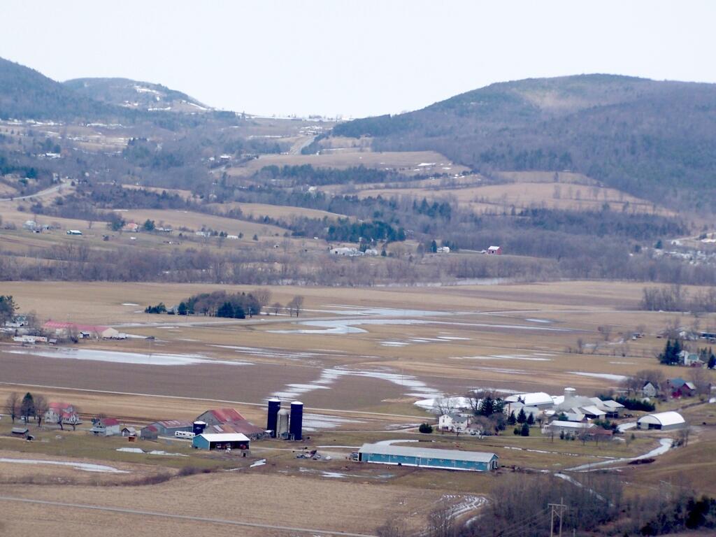


Pre-plant view of these ag lands in Schoharie Valley south of Middleburgh.

This interactive map shows the tree cover on state lands in Schoharie County. This is helpful for hunters and wildlife enthusiasts to know where the various forests are located.
Data Source: NY DEC STANDS Mapping System. Available as a shapefile on http://gis.ny.gov