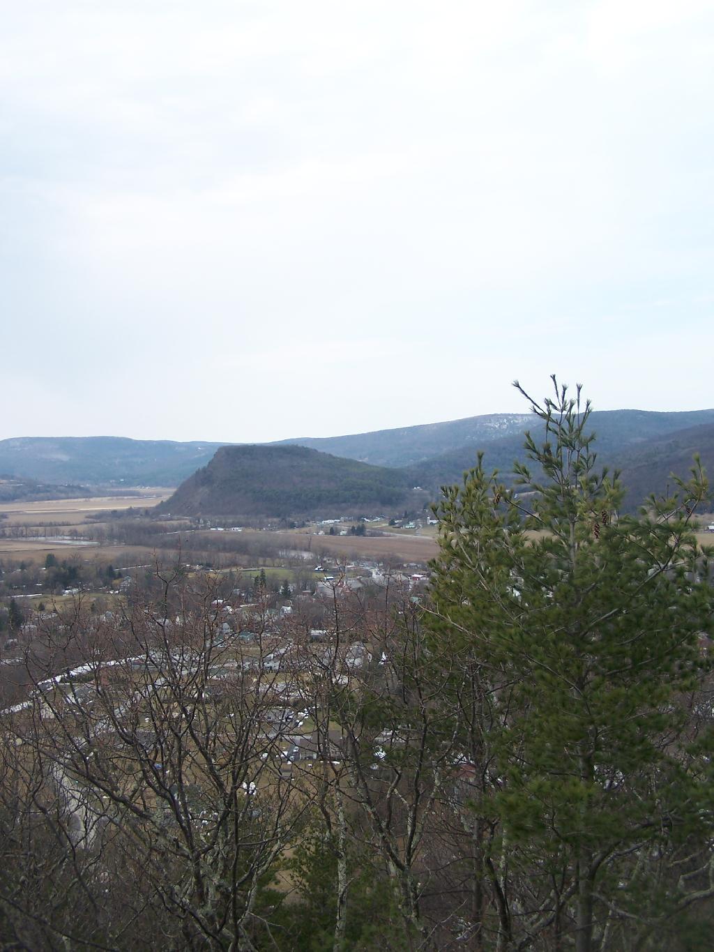
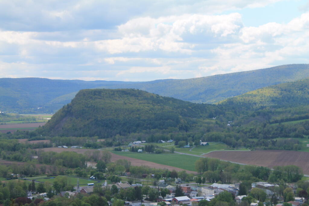
Middleburgh Cliff 📍

Directly to the East of Middleburgh there is a long narrow landform known as “The Cliff”. It’s a 500 foot high hill, with about 40 feet high cliffs, overlooking Middleburgh and Schoharie to the west. Cotton Hill sits above it to the east. While privately owned, the Long Path crosses it and you can use it to explore the cliffs.

🖼️ Photos
Map: Shindagin Hollow State Forest Ortho
Terrain Map: Lows Lake
SVGZ Graphic: Central NY Population Density
Map: Taylor Valley State Forest

Vromans Nose

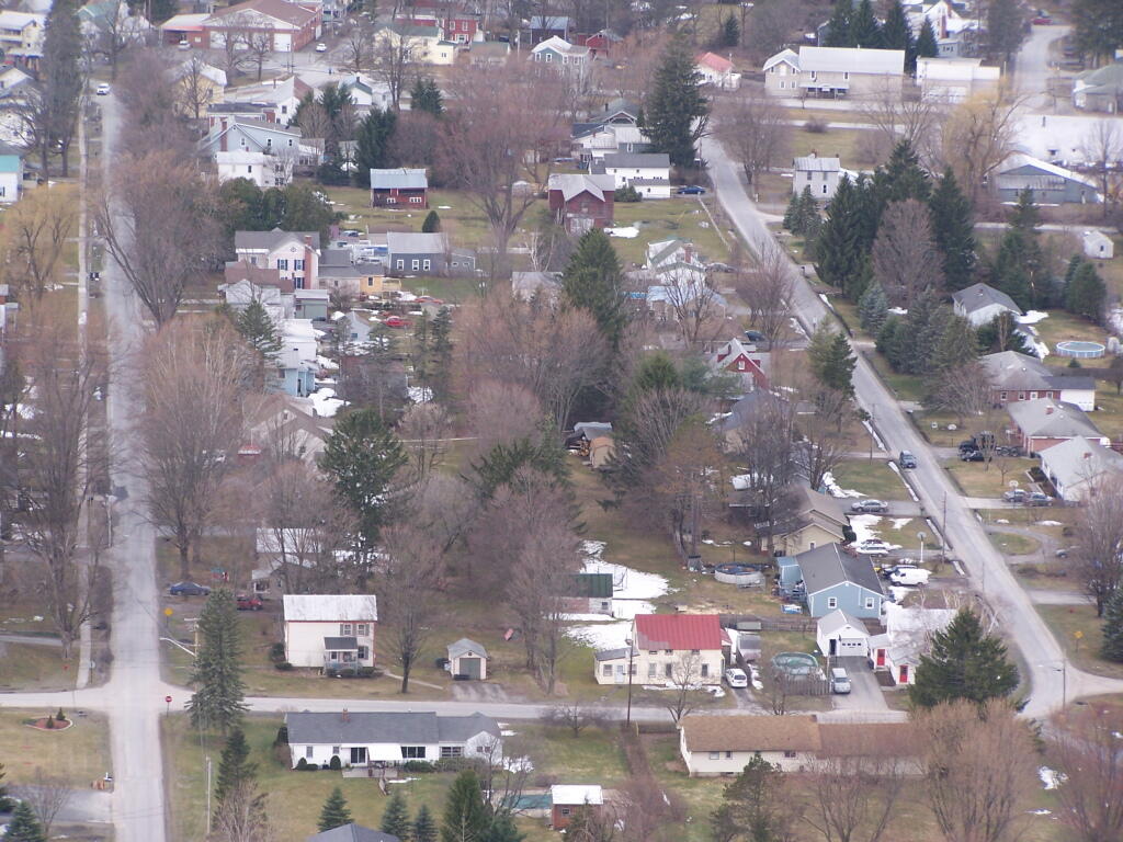
He must be sitting in the earth, enjoying all that fresh manure and dirt odor, as spring time approaches.

Sunday March 21, 2010 — Middleburgh Cliff
Map: Sand Lake