New York State 📍

New York is a state in the Northeastern region of the United States. New York is the 27th-most extensive, the 3rd-most populous, and the 7th-most densely populated of the 50 United States. New York is bordered by New Jersey and Pennsylvania to the south, and by Connecticut, Massachusetts and Vermont to the east. The state has a maritime border with Rhode Island east of Long Island, as well as an international border with the Canadian provinces of Ontario to the west and north, and Quebec to the north. The state of New York is often referred to as New York State to distinguish it from New York City.

Download the PDF Map Pack
🗺️ Maps
Map: Trout Pond - Russell Brook Falls
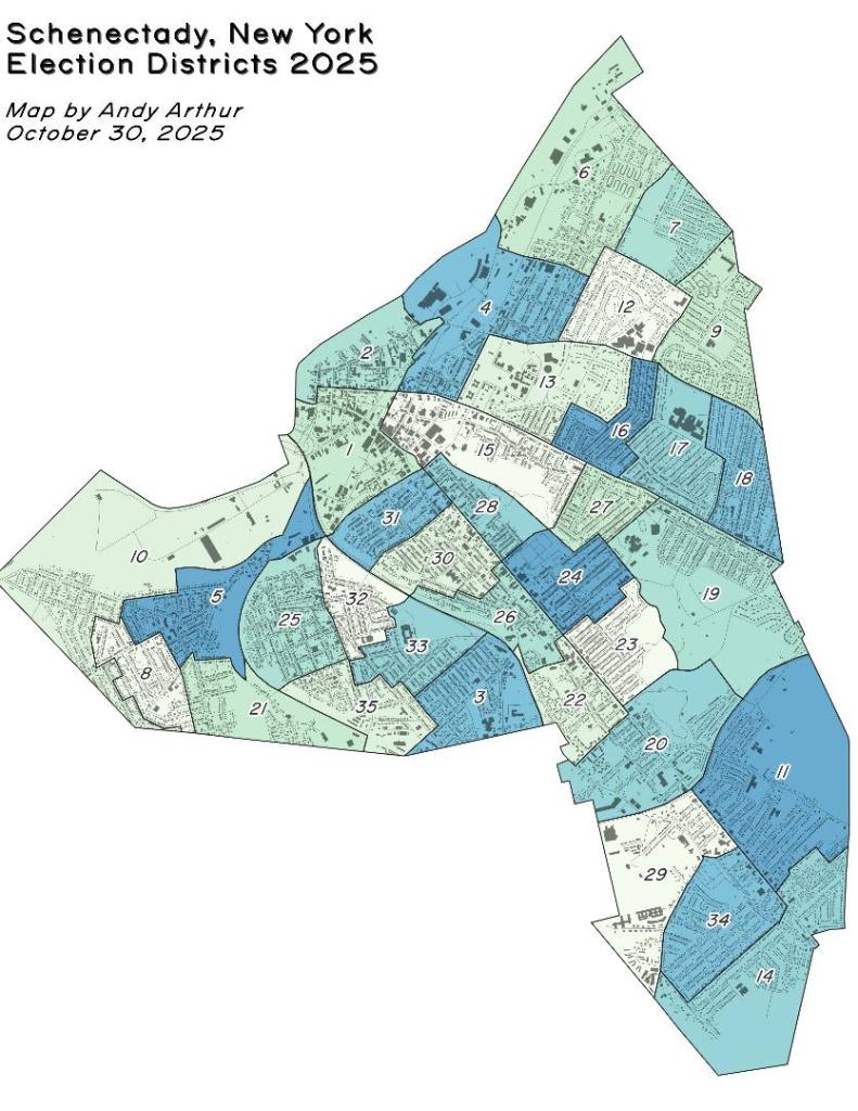
Thematic Map: Schenectady NY Election Districts
Terrain Map: Albany Pine Bush Study Area 1893

WIthin 25 Miles of the Barge Canal.svg.svg

Not sure if the latest Census numbers agree with the 85% number often bandied around, but it depends what you define Upstate as and what part of the canal system you consider the Erie Canal.

WIthin 25 Miles of the Barge Canal.svg.svg

Map: Shelving Rock Road and Dacy Clearing Road