New York State πŸ“

New York is a state in the Northeastern region of the United States. New York is the 27th-most extensive, the 3rd-most populous, and the 7th-most densely populated of the 50 United States. New York is bordered by New Jersey and Pennsylvania to the south, and by Connecticut, Massachusetts and Vermont to the east. The state has a maritime border with Rhode Island east of Long Island, as well as an international border with the Canadian provinces of Ontario to the west and north, and Quebec to the north. The state of New York is often referred to as New York State to distinguish it from New York City.

Download the PDF Map Pack
πŸ—ΊοΈ Maps πŸ–ΌοΈ Photos

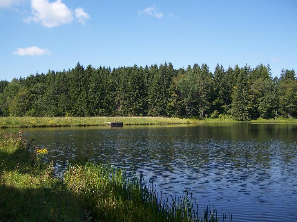
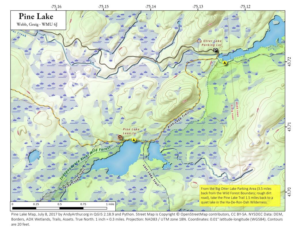
Pine Lake

Pine Lake in the Independence River Wild Forest in the Western Adirondacks is located 1.5 miles south west of the Big Otter Lake Parking Area, which is 3.5 miles east of the wild forest boundary on Partridgeville Road. There is a lean-to and campsite located on this remote Adirondack lake.

 Pine Lake

Terrain Map: Albany Plan 1695
Map: Battery Diagram

To make Schenectady easier to spell, I support using the English translation, “City Beyond the Pines”. 🌲🌲 πŸ¦πŸ¦‰ πŸ¦‹πŸŒ²πŸŒ²

To make Schenectady easier to spell, I support using the English translation, “City Beyond the Pines”. 🌲🌲 πŸ¦πŸ¦‰ πŸ¦‹πŸŒ²πŸŒ²

An obvious benefit – less Thruway signage needed, people will know when they are approaching their exit at least heading Westbound.

At least Schenectady is easier to spell than SkahnΓ©htati, the proper spelling.

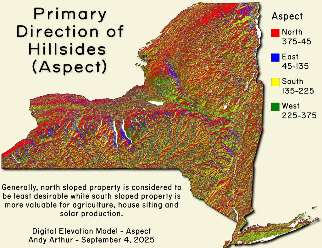
Thematic Map: Primary Direction of Hillsides in NYS - Aspect
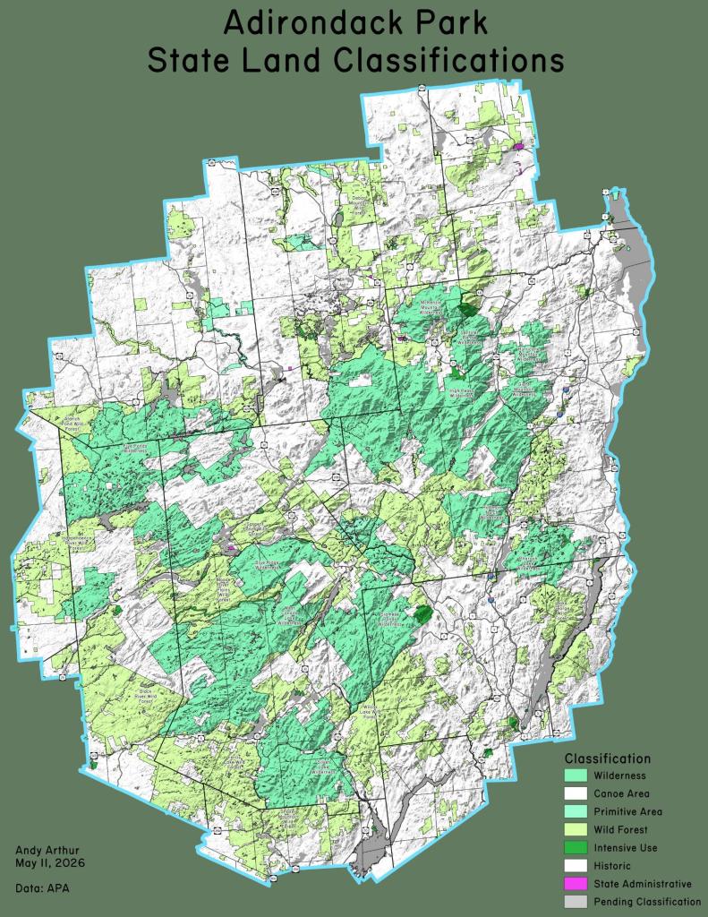
Thematic Map: Adirondack Park State Land Classifications