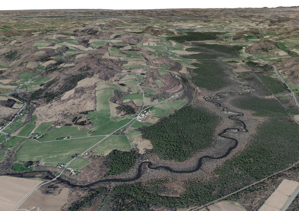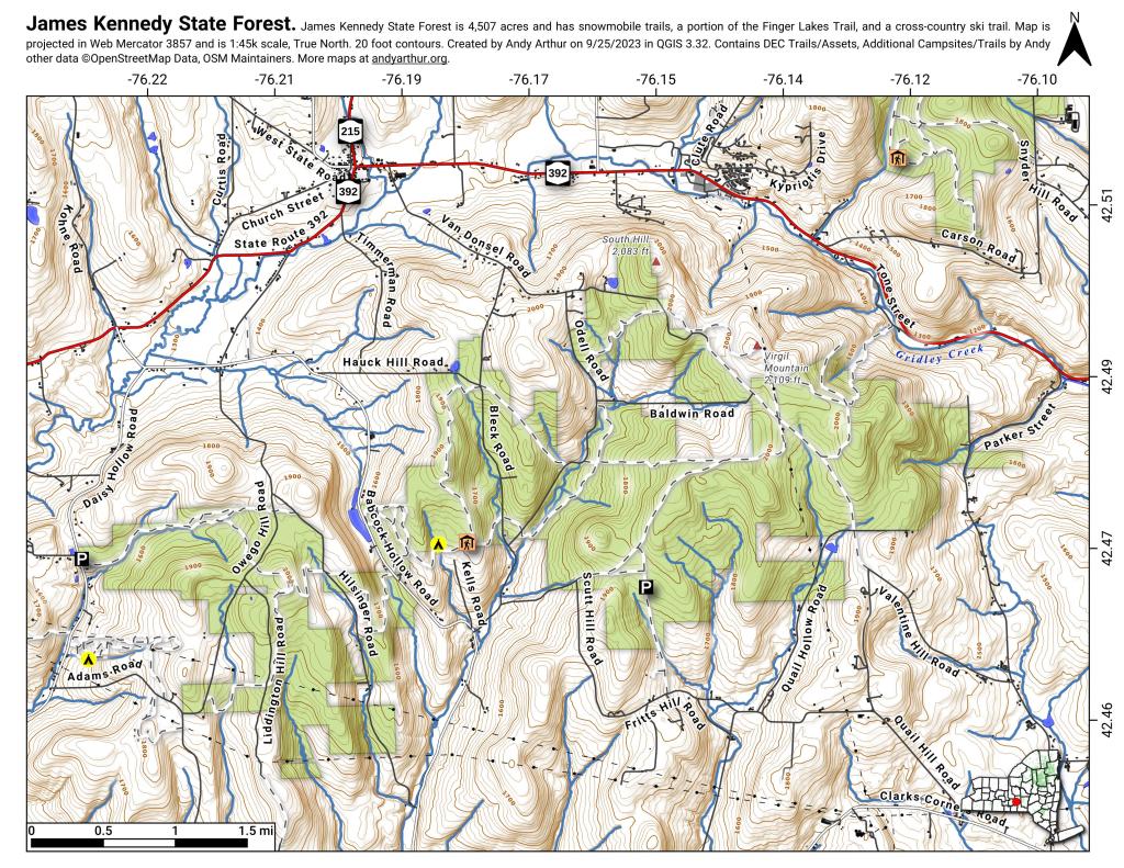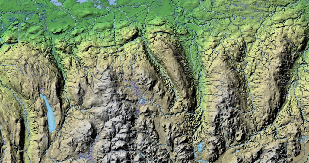
Madison County, NY 📍

Madison County, situated in central New York State, is home to a population of 73,442 as per the 2010 census. This county is a pivotal part of the Syracuse, NY Metropolitan Statistical Area. Positioned east of Syracuse, slightly north of Binghamton, and west of Albany, Madison County holds the honor of housing the state’s geographic center in Pratts Hollow, within the Town of Eaton. With Oneida Lake and Oneida Creek framing part of its northern border and Chittenango Creek defining the western boundary, Madison County boasts picturesque landscapes.

This page focuses on free camping opportunities on state land within Madison County, extending an invitation for outdoor enthusiasts to explore the region’s diverse offerings, including hiking, biking, kayaking, and various outdoor pursuits.

Download the PDF Map Pack
🗺️ Maps 🖼️ Photos 📽️ Videos

Mid-Madison County

The hills and hollows of Southern Madison County come to an as the escarpment drops down to the Mohawk Valley in Mid-Madison County.

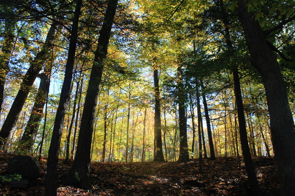
 Mid-Madison County

Map: Empire State Topography
Map: Green Mountain National Forest North
Map: Canaseraga State Forest
Map: Wilcox Lake - Willis Lake Trail

Fabius, NY

The one horse town on the hillside along the rolling country of US 20.
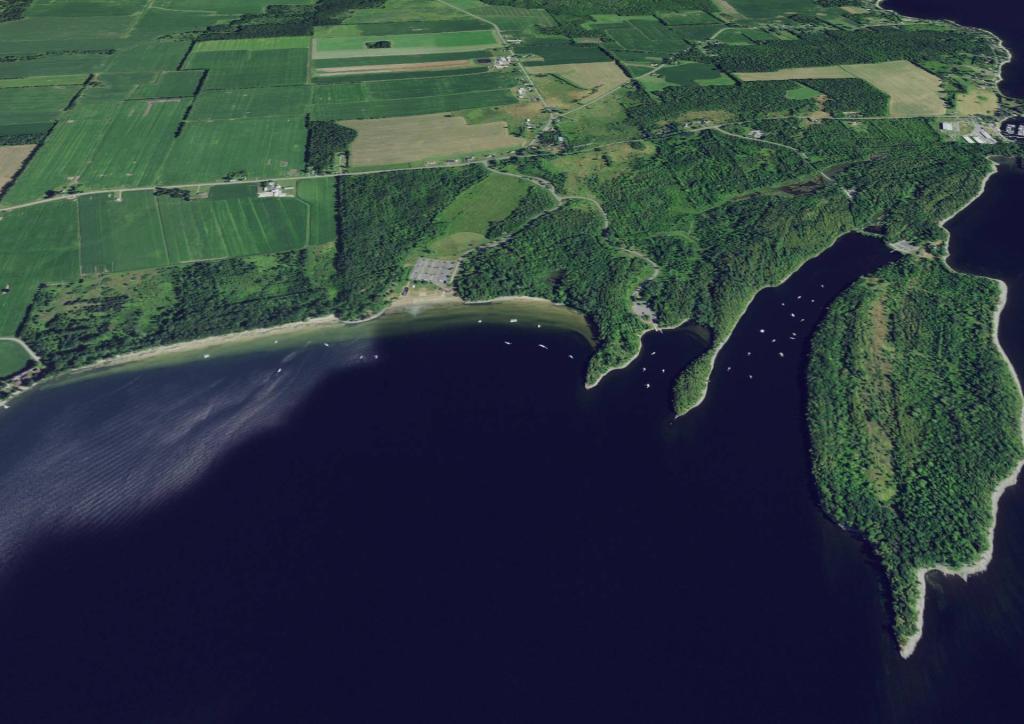
Terrain Map: Point Au Roche