Brookfield Trail System
The Brookfield Trail System consists of several state forests with 135 miles of horse and snowmobile trail located between Bridgewater, Sangerfield, Earlville, Sherburne in Southern Madison County, Central New York.

The Brookfield Trail System consists of several state forests with 135 miles of horse and snowmobile trail located between Bridgewater, Sangerfield, Earlville, Sherburne in Southern Madison County, Central New York.

The pumpkins are just nutrients for next year's farm crops.
Sunday November 5, 2023 — Chenango Canal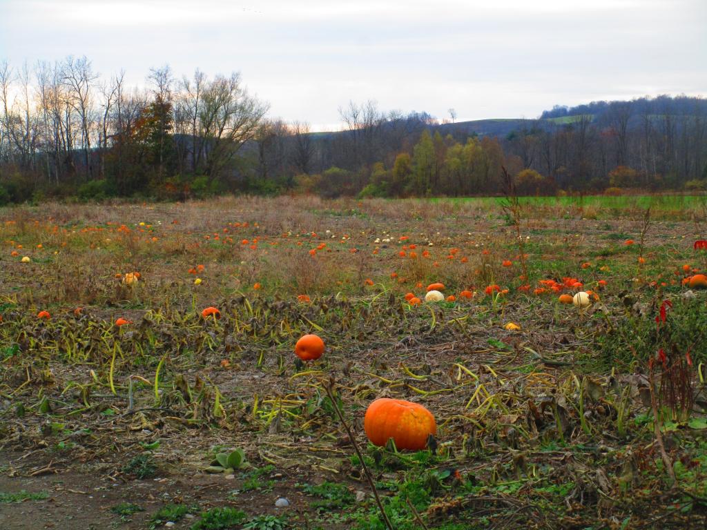

Walking along the old Chenango Canal on a rather cold winter's day in December north of Hamilton.
Wednesday December 22, 2021 — Chenango Canal

A common sight along US Route 20 in Bouckville.
Sunday November 8, 2020 — Chenango Canal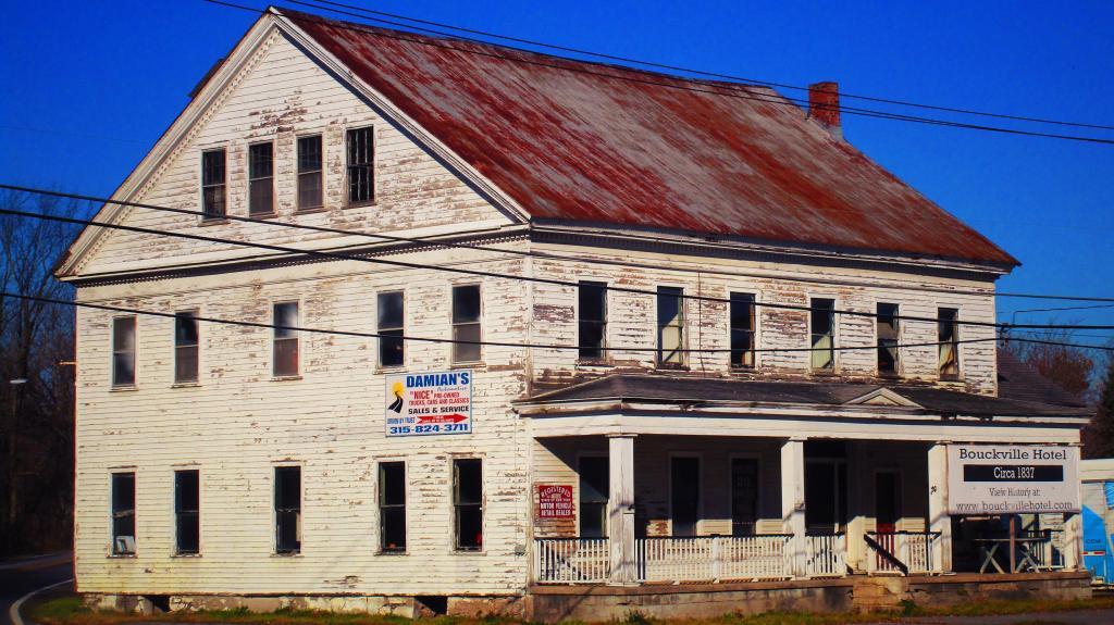

I am very impressed by the size of this pile of silage at this dairy farm outside of Hamilton as seen from the Chenango Canal.
Sunday November 8, 2020 — Chenango Canal
