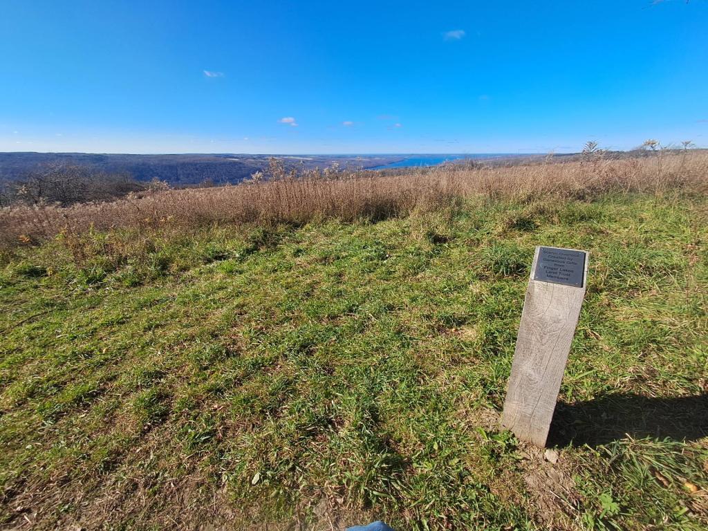
Herkimer County 📍

Herkimer County is a county located in the U.S. state of New York. It was created in 1791 north of the Mohawk River out of part of Montgomery County. As of the 2010 census, the population was 64,519

Herkimer County is in central New York State, northwest of Albany, and east of Syracuse. The northern part of the county is in the Adirondack Park. The Mohawk River flows across the south part of the county.

http://en.wikipedia.org/wiki/Herkimer_County,_New_York

🗺️ Maps 🖼️ Photos
Map: Green Mountain National Forest North

Canal Place and Moss Island Road in Little Falls

The Historic Canal Place neighborhood in Little Falls is home to many shops, apartments, condos, and nice things. It is located along the road to Moss Island, and is the brightest spot in his otherwise struggling former industrial city on the Mohawk River.

Map: Shelving Rock Road and Dacy Clearing Road
Map: Grass River - Tooley Pond Area

Built in the early 1970s ….

The then new Little Falls cloverleaf was designed to connect to downtown via a new arterial highway that originally threatened Moss Island but was later moved slightly farther to the south after community protests, protecting this historic and unique island. Notice the deep cuts into the Marcellus shale, with it's deep black residues that once contained petroleum millions of years ago.

Map: Green Mountain National Forest North
Map: Boreas Railroad - Moose Club Way To Northwoods Club Road