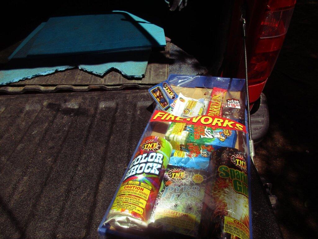
Silver Lake Wilderness 📍

The Silver Lake Wilderness Area, an Adirondack Park unit of the Forest Preserve, is located in the towns of Lake Pleasant, Benson, Wells and Arietta in Hamilton County and is roughly bounded on the north by NY 8 and private lands near Piseco Lake, Oxbow Lake, Hamilton Lake, Sand Lake and Lake Pleasant; on the east by NY 30; on the south generally by the Hamilton County line; and on the west by NY 10, the West Branch of the Sacandaga River and the Piseco Outlet.

The area contains 48 bodies of water covering 569 acres (2.3 km2), 26.5 miles (42.6 km) of foot trails, and 2 lean-tos.

Download the PDF Map Pack
🗺️ Maps 🖼️ Photos
Map: Wakely Mountain
Thematic Map: US 9 Suffixes

NY 10 Along the West Branch Sacanadaga River

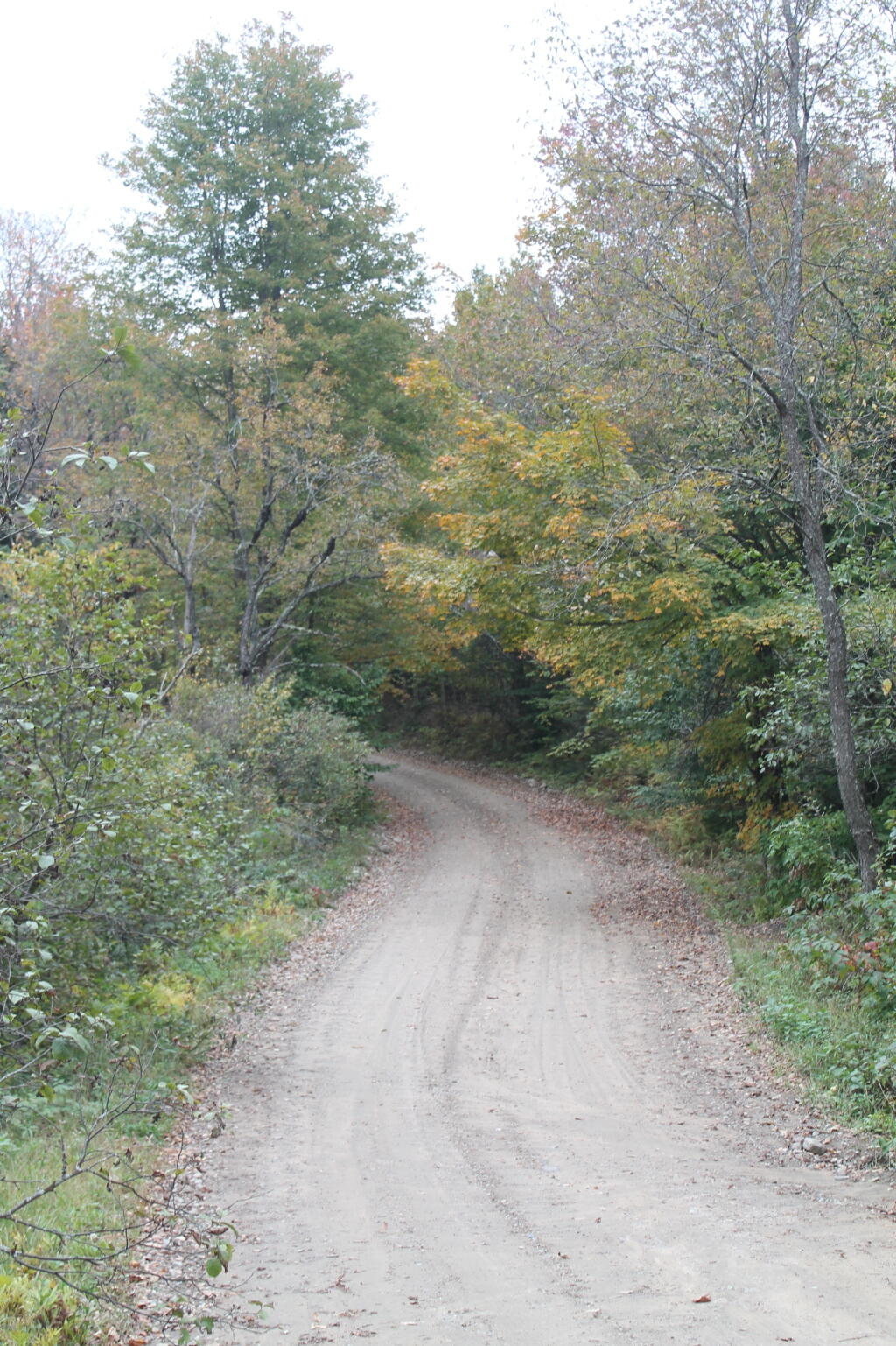
I decided to drive back this way last night. I was thinking this would be a nice bike ride north from Good Luck Lake at some point when I have more time -- there is good shoulder for riding, it's relatively flat and great views along the road.

Map: Empire State Topography
Map: Battery Diagram

To the End of Whitehouse Road

Documenting this section of the West River Road in the SIlver Lake Wilderness as you go out to the end of the road in Whitehouse Road. I hope it remains open for future generations to enjoy this scenic drive.

Thematic Map: Erie County - New York Municipalities