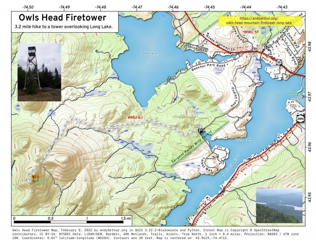
Display Full Screen - Control + Mouse to Pan, SHIFT and +/- to zoom, arrow keys pan around MapLibre GL map.

North
In the distance is Saranac Lake and Lake Placid, with Whiteface just beyond it. Not the clearest or nicest of days, but still visable. In the foreground is the col/shoulder of Owls Head.
Thursday August 12, 2010 — Owls Head Mountain Firetower (Long Lake) — Owls Head Firetower 🗺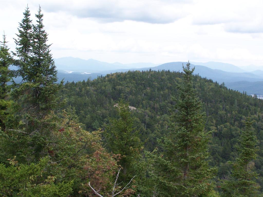

Sitting on Mountain
Just sitting back and looking south from the open rock face a top Owls Head.
Thursday August 12, 2010 — Owls Head Mountain Firetower (Long Lake) — Owls Head Firetower 🗺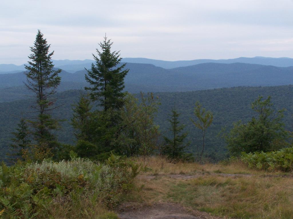

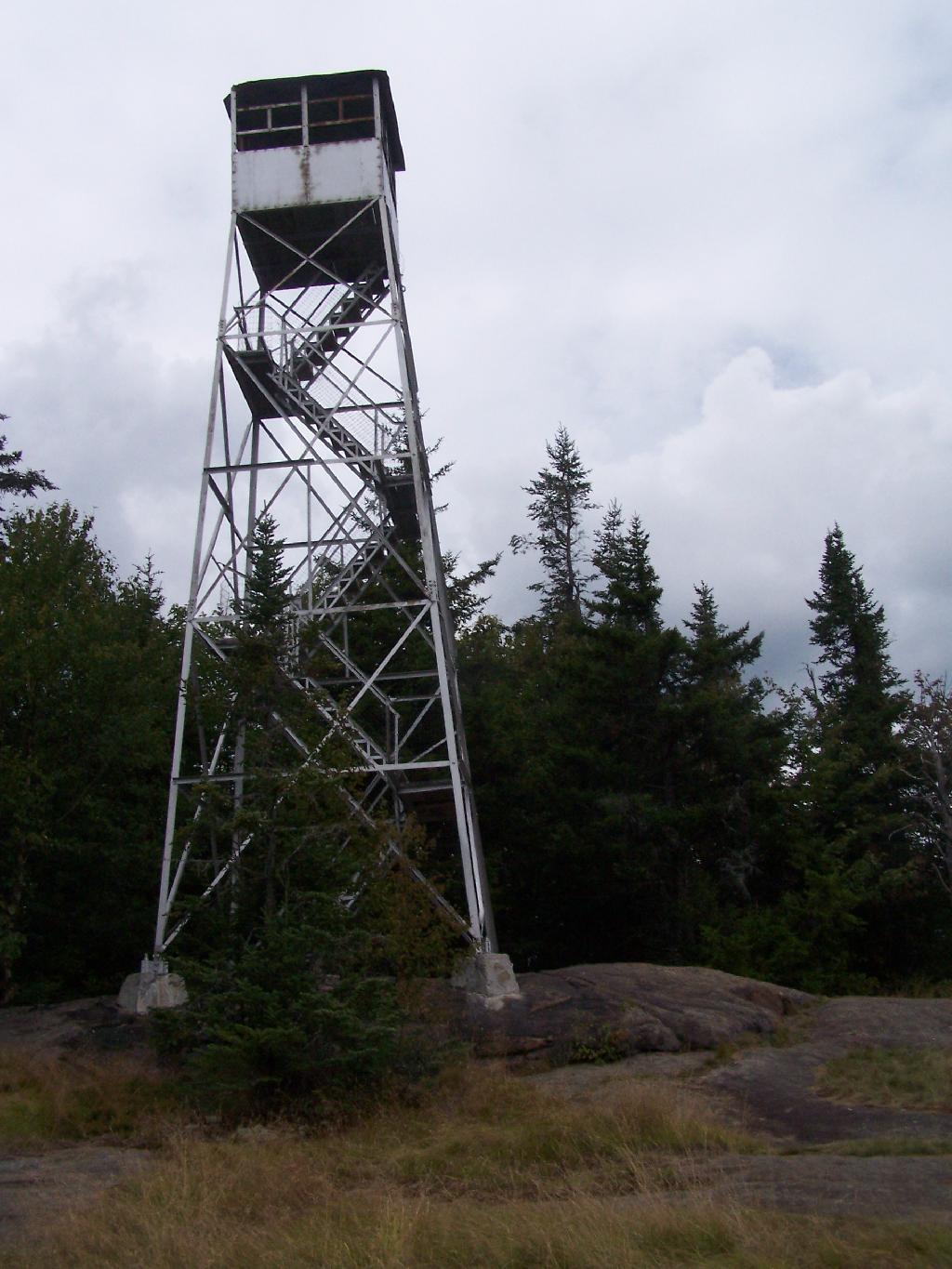
Fire Tower
The fire tower is a 30 foot LS 45 Aermotor tower, pretty typical for NY State. It's one of the short little towers, like also seen on Rondaxe Mountain in Eagle Bay.
Thursday August 12, 2010 — Owls Head Mountain Firetower (Long Lake) — Owls Head Firetower 🗺