The Kunjamuk Cave, found off Pine Lakes Road in Speculator Tree Farm, is a natural rock shelter that was dug out of a hillside. The cave is a popular destination for hikers and mountain bikers exploring the dirt roads of this conservation easement.

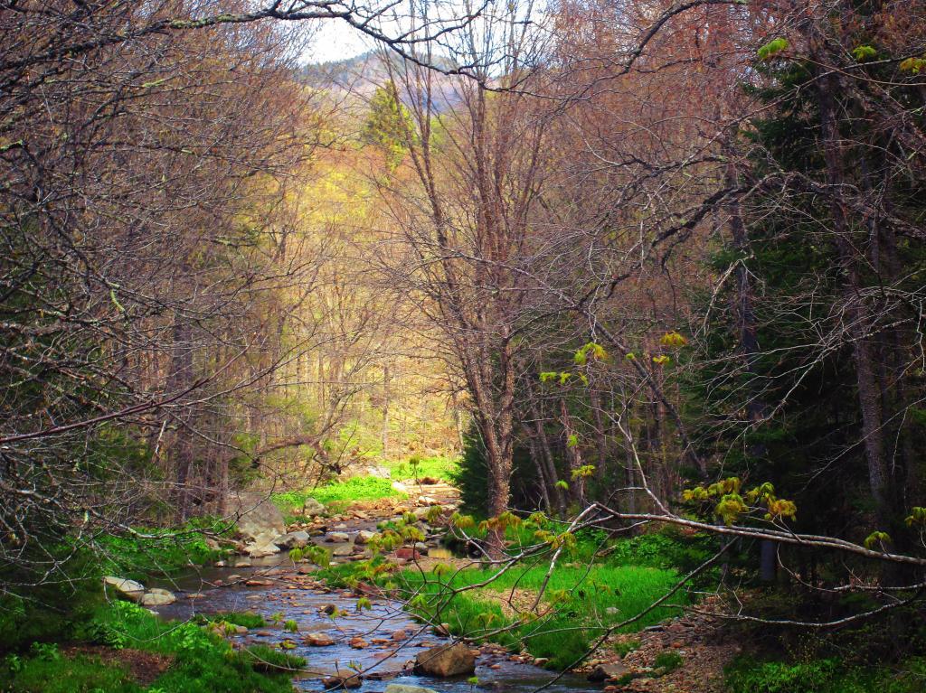
To reach the cave, hikers typically start at the Elm Lake Road entrance to the Speculator Tree Farm in village of Speculator or off Old Route 8B past the upper bridge at gated Pine Lakes Road/Kunjamunk Cave Trail. The trek is approximately 2.5 to 4 miles one way, depending on the specific starting point. The trail follows an old logging road that winds through dense hardwood forests and parallels the Kunjamuk River.
The history of the Kunjamuk Cave is inextricably linked to the legend of “French Louie” (Louis Seymour), a famous Adirondack hermit who lived in the late 19th and early 20th centuries. While Louie had more permanent camps in the West Canada Lakes region, local lore suggests he used this cave as a temporary shelter during his travels or trapping expeditions. Before the era of legendary hermits, the area served as a hunting ground for the Mohawk and Abenaki people, who likely used the rock formation for protection against the elements long before European settlers arrived.
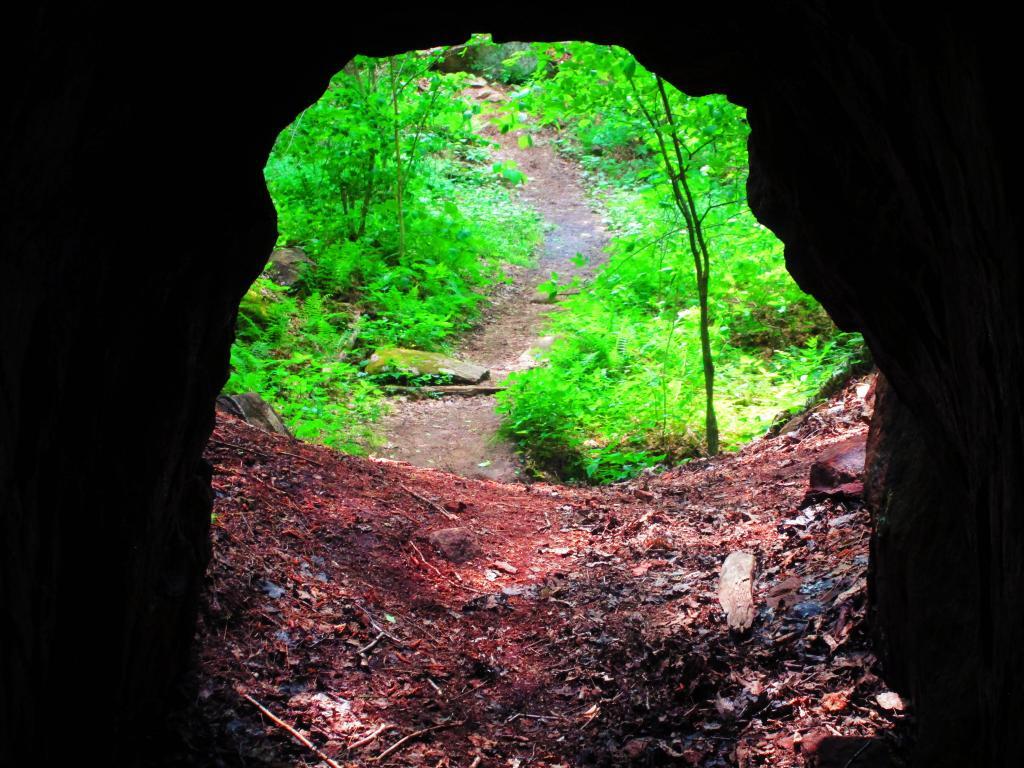
![Untitled [Expires September 16 2024]](https://andyarthur.org//data/photo_016936_large.jpg)
“View of the cave through the cutting in the roof, allowing the occupant to build a fire inside to stay warm during cold weather.“