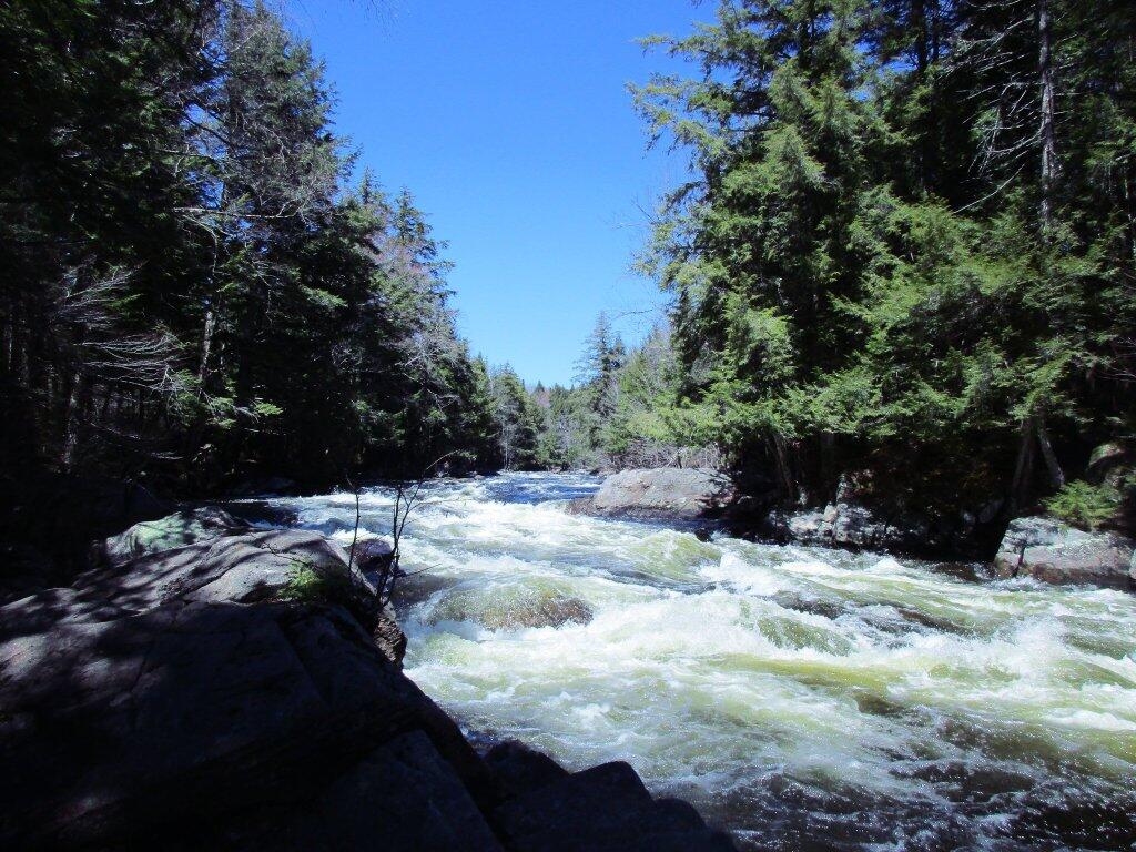
Lots of white water

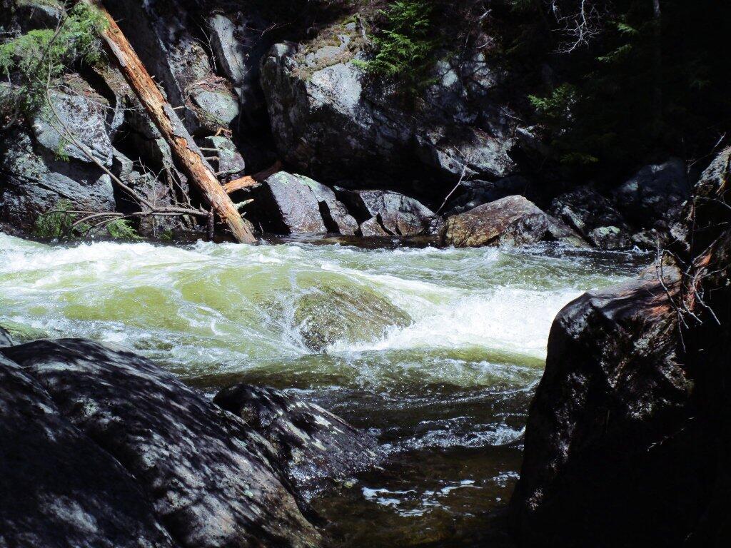
Foam from Auger Falls churning away below.
Sunday April 19, 2020 — Auger Falls — Auger Falls Via Griffin (East Side) 🗺 — Old Route 8A Snowmobile Trail 🗺— PDF with All Maps 📚

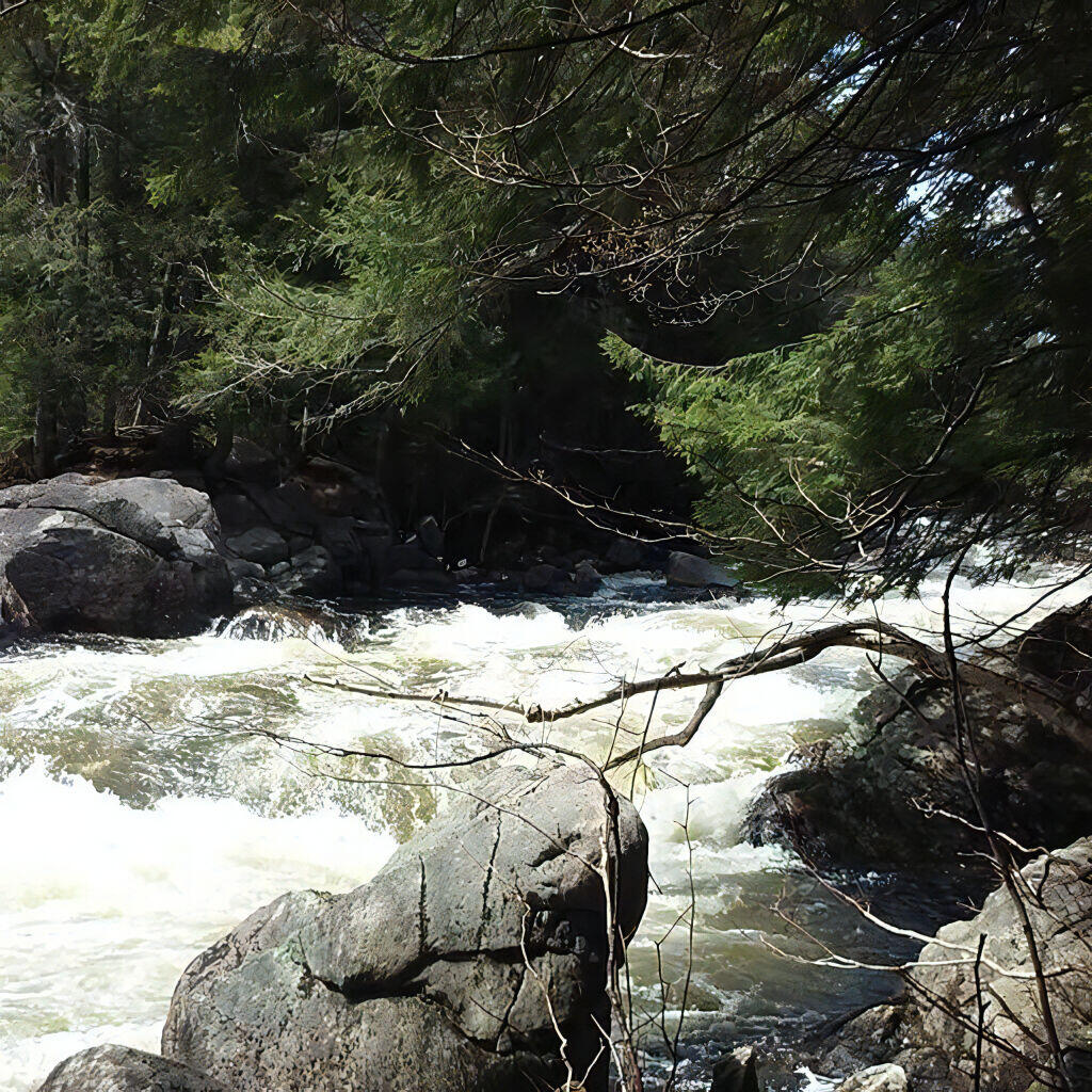
Then the water heads down into the falls.
Sunday April 19, 2020 — Auger Falls — Auger Falls Via Griffin (East Side) 🗺 — Old Route 8A Snowmobile Trail 🗺— PDF with All Maps 📚