Display Full Screen - Control + Mouse to Pan, SHIFT and +/- to zoom, arrow keys pan around MapLibre GL map.

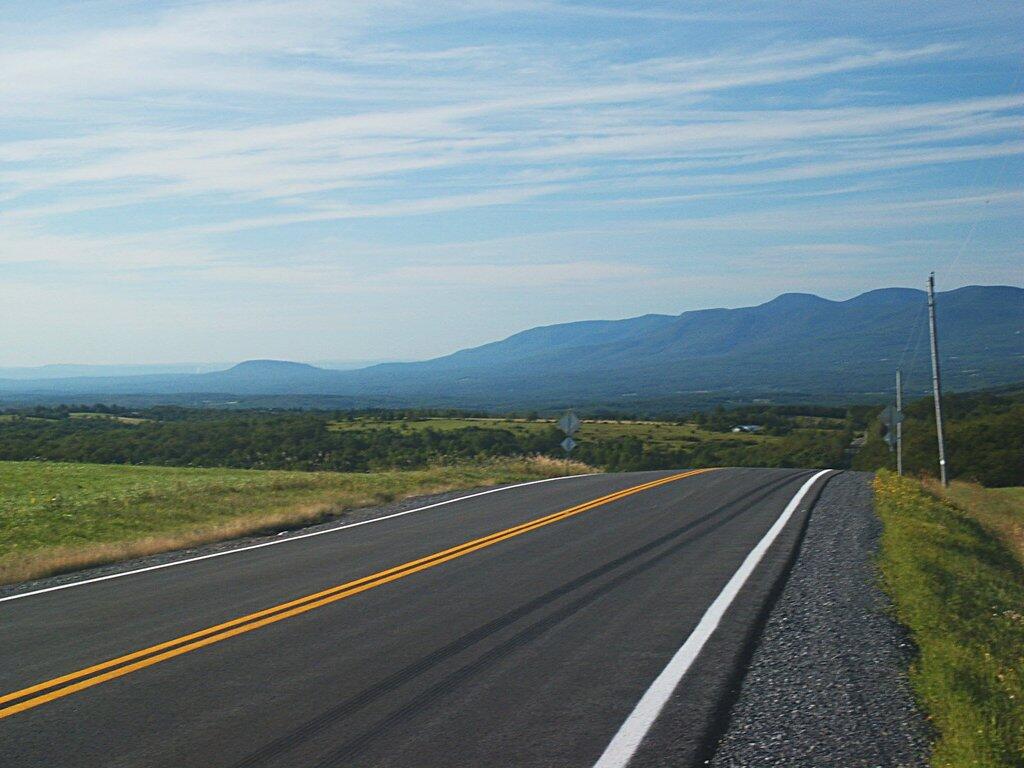
Route 359 Towards Catskills
Untitled


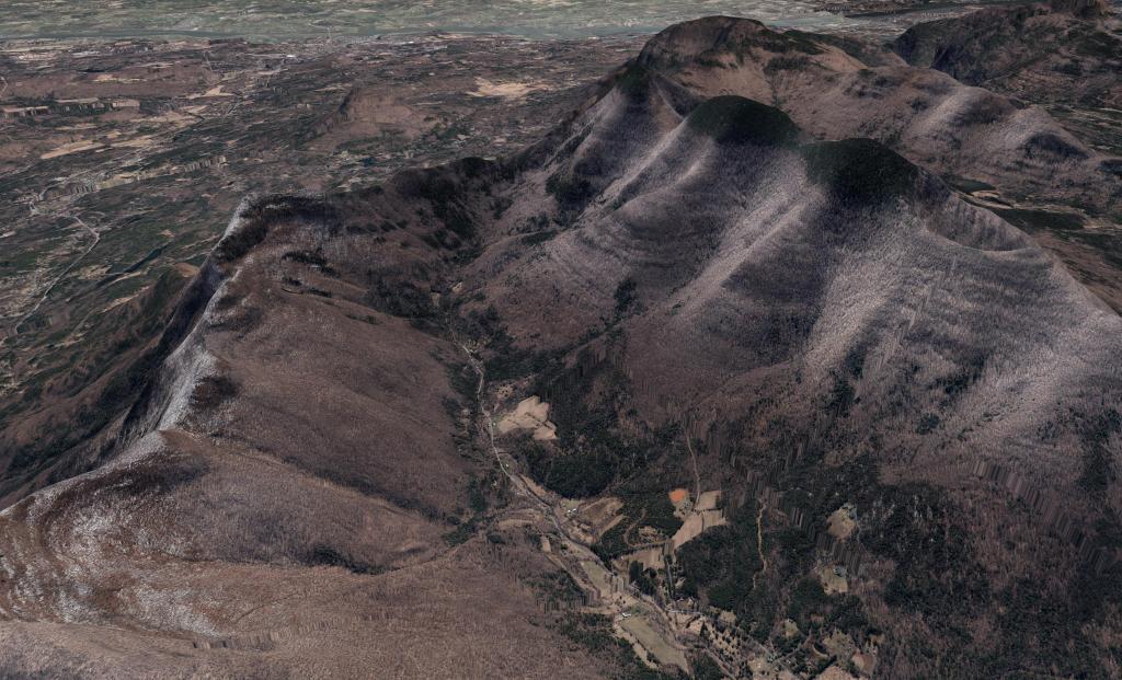
TriMount
A digital rendering of the Black Dome Mountains in the Catskills.

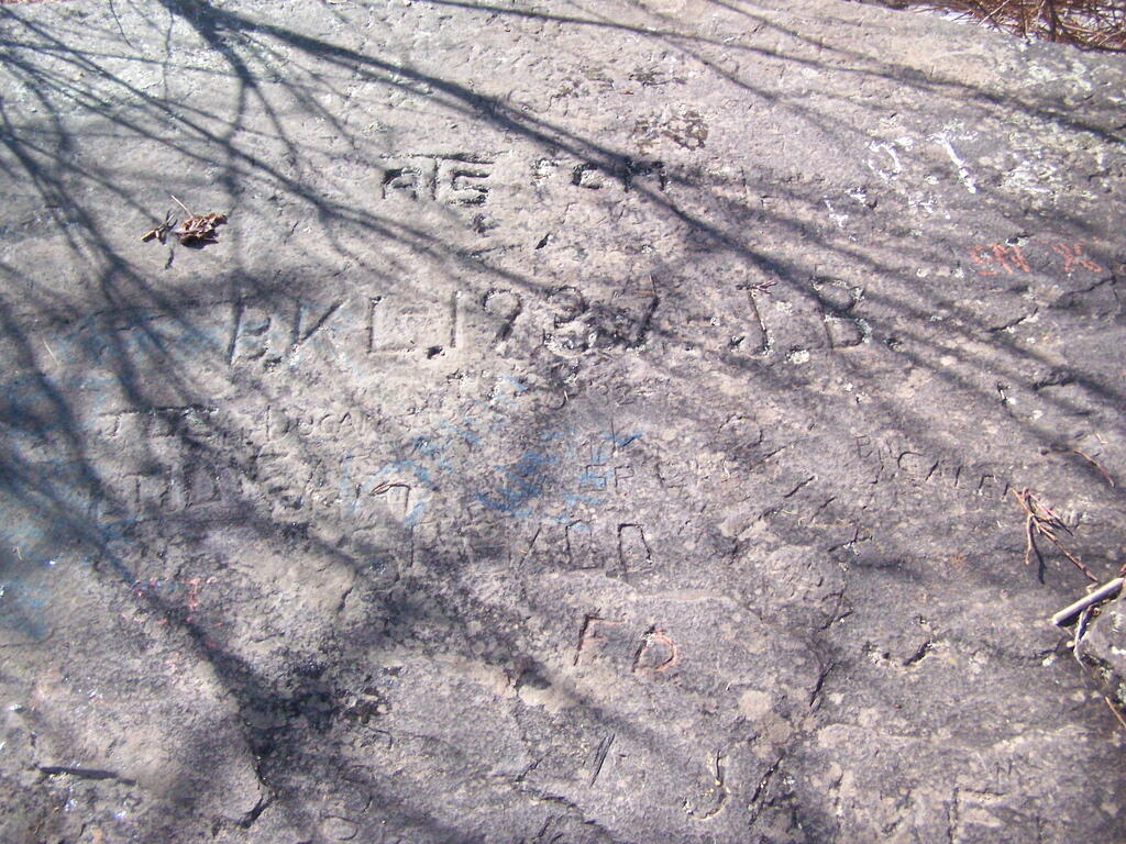
Carved Names