
Horse Trail

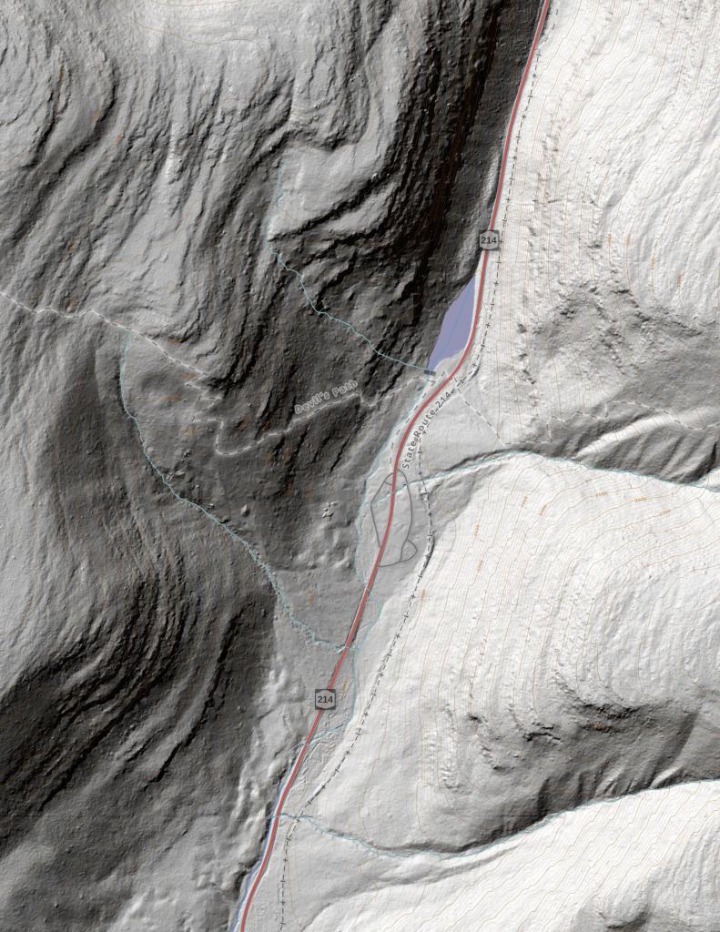
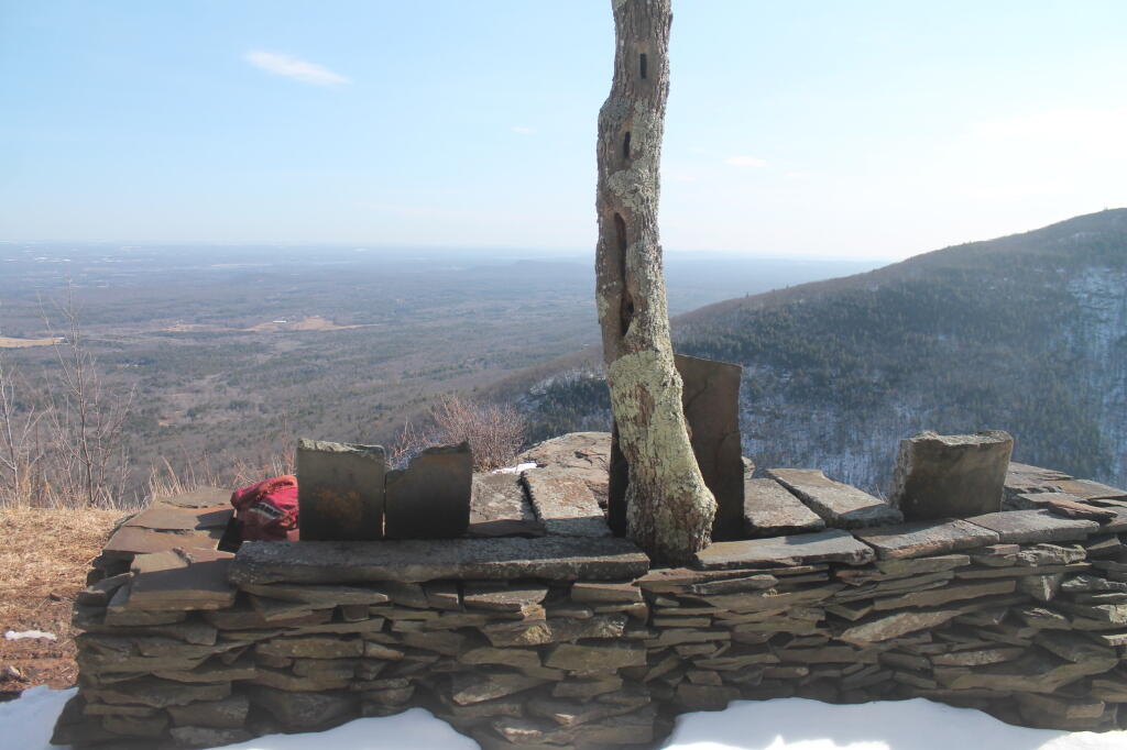

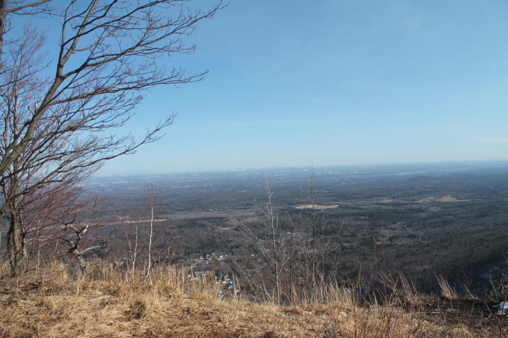

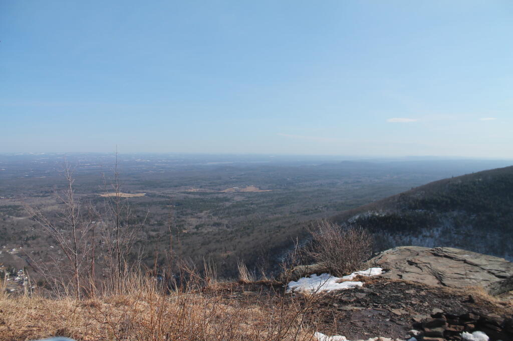

Taken near the ruins of the Halfway House, shows the hollow looking down. This is where Rip Van Winkle supposedly fell asleep for 20 years, waking up to a vastly different world. I didn't try to take a nap here.
Monday May 25, 2009 — Palenville Overlook