Palenville Overlook 📍

🖼️ Photos

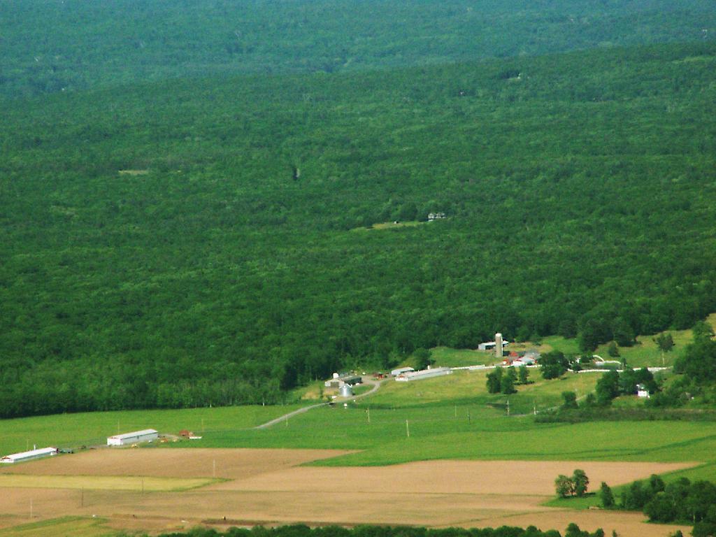
Sunrise Chicken Farm

In these barns, laid out so nicely along Cauterskill Road are thousands of chickens producing eggs for the commerical egg market. They really stick out as one views them from the Catskill Mountain House Ruins.

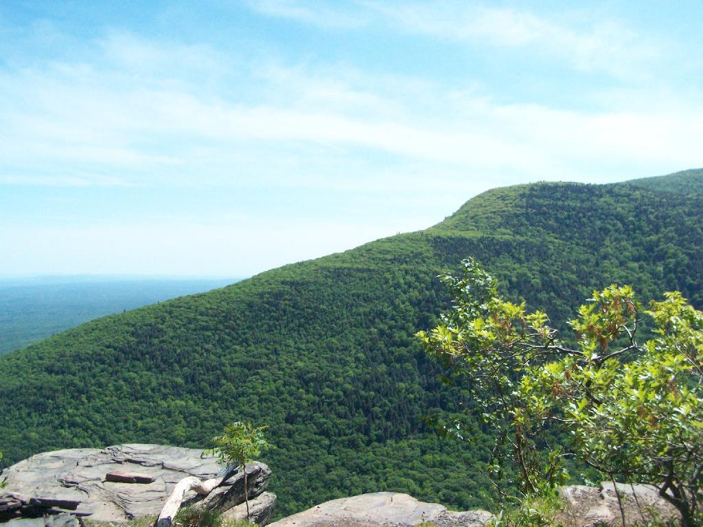
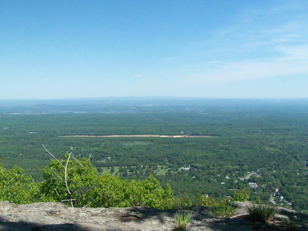
Monday May 25, 2009 — Palenville Overlook
Map: Overview of Lean-Tos in New York State Forests

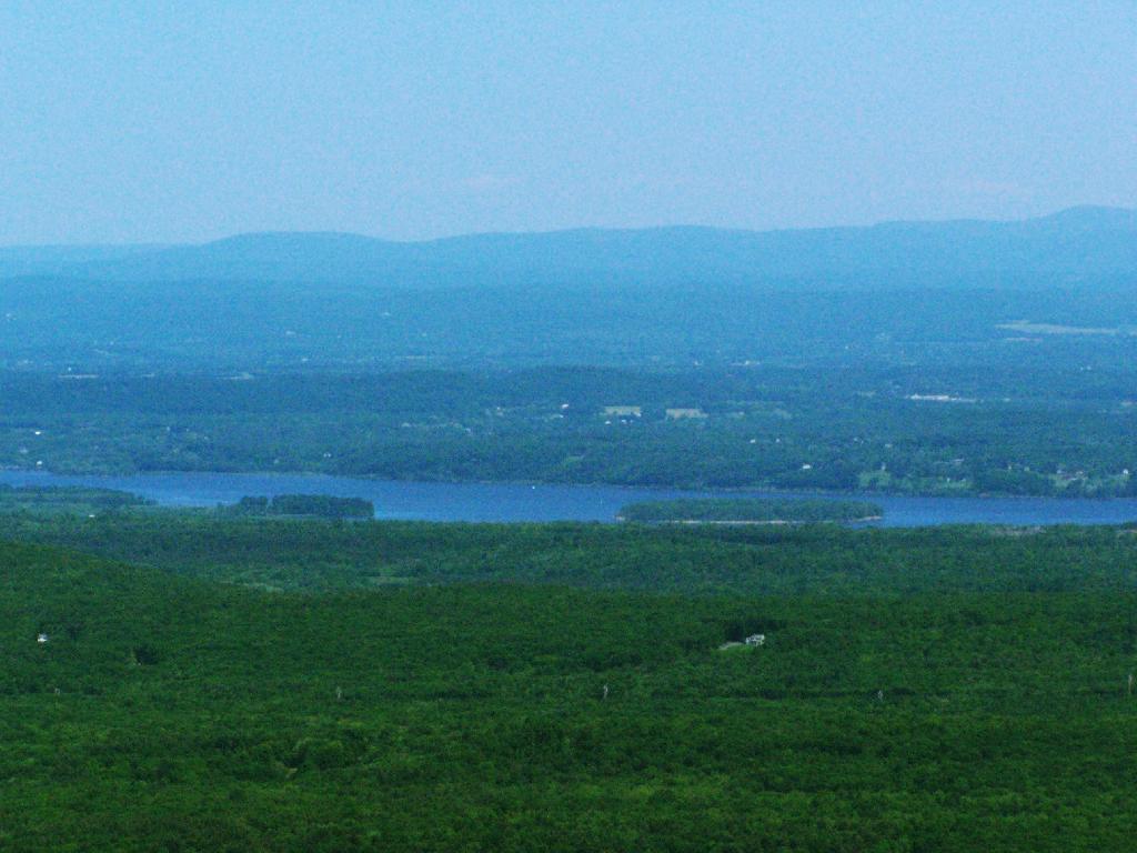
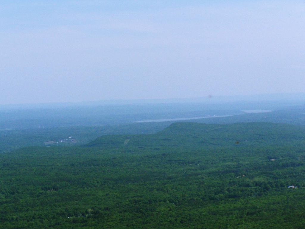
Mount Airy

And beyond it, Mount Marion. You can see how Route 32 cuts over Mount Airy, which isn't a mountain in the proper sense, but some bumps in the landscape, at least compared to the Catskills

Monday May 25, 2009 — Palenville Overlook
Terrain Map: Kaaterville Clove
Map: Mountain House Trail and North Mountain
Terrain Map: Mahanoy Mountain
Terrain Map: Amsterdam and Mohawk River