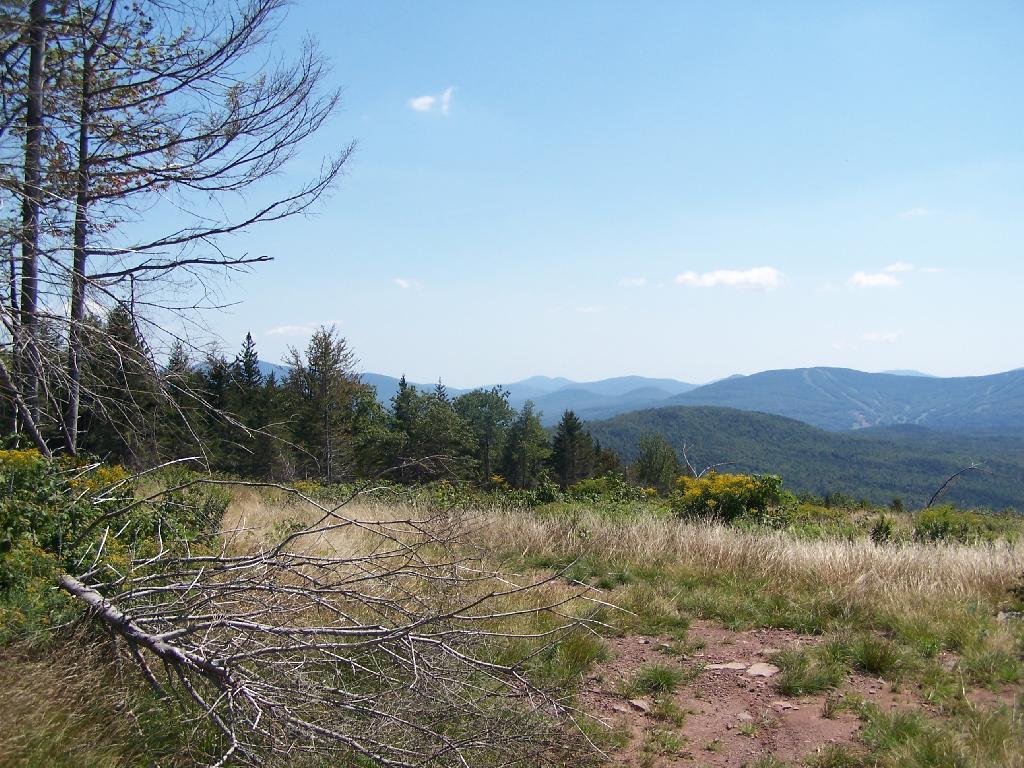
Plateau Mountain and Hunter Mountain
It's too bad that the sun wasn't good for this picture. One of these days, I'll get up there in the morning and get some better pictures of the mountains.
Saturday August 28, 2010 — Ashland Pinnacle State Forest

It's too bad that the sun wasn't good for this picture. One of these days, I'll get up there in the morning and get some better pictures of the mountains.
Saturday August 28, 2010 — Ashland Pinnacle State Forest

This is the spur off the main DEC Road up and over South Mountain. It leads part of the way up Richmond Mountain before it peters out to a logging road. Notice how the DEC has clear cut this area.
Saturday August 28, 2010 — Ashland Pinnacle State Forest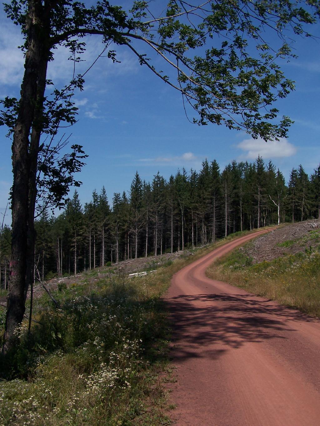

Down into the Schoharie Valley as I hiked up it, searching for the intersection of the Long Path.
Saturday August 28, 2010 — Ashland Pinnacle State Forest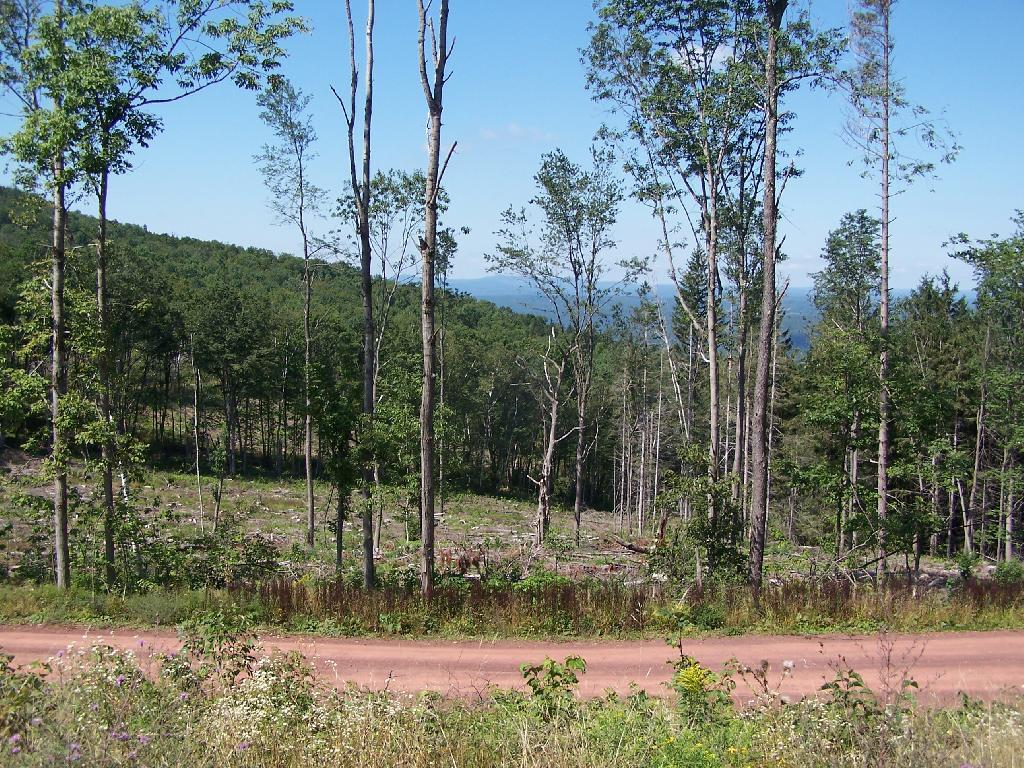

Both side of the South Mountain Range have recently been logged, providing views that are accessible via well established haul roads. These are quite popular for tourists who normally do not hike, escorted by locals, to get good views of the Northern Catskill Mountain Ranges. It's totally flat, 1/4 mile walk from the South Mountain Truck Trail.
Saturday August 28, 2010 — Ashland Pinnacle State Forest

In the distance can be seen Windham High Peak, the Peaks of Devils Clove, including Sugar Loaf and Indian Head.
Saturday August 28, 2010 — Ashland Pinnacle State Forest