Smoke

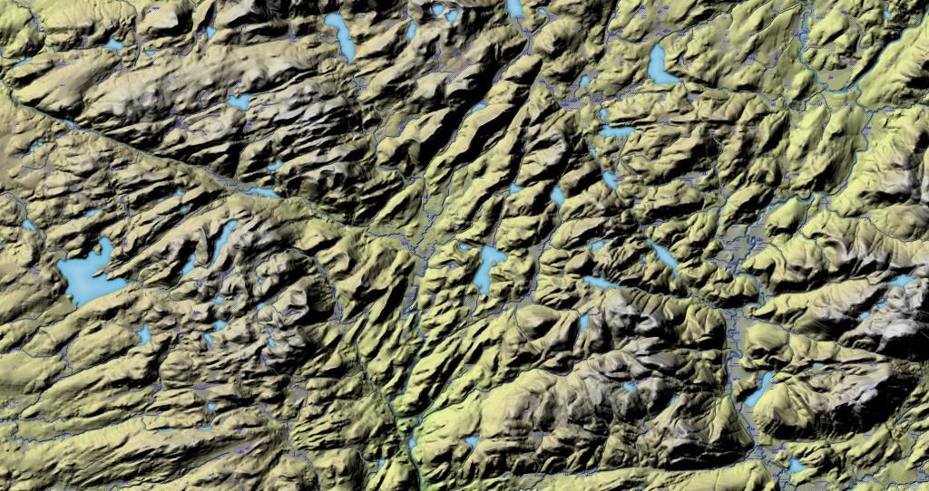
This shows the terrain around Ferris Lake, including Jerseyfield Lake. What I found real interesting with this terrain map was the long valley that goes through the entire area, over 50 miles. Too bad there are many lakes and marshes, as otherwise that would be a natural travel corridor.
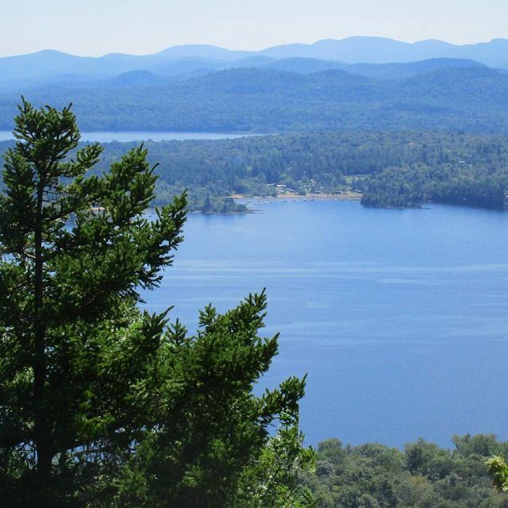
If you climb down the steep ledge off Edick Road Campsite 1, you can find a quiet place to watch wildlife from the shadows overlooking a marshy part of the East Canada Creek.
Saturday August 14, 2021 — Piseco-Powley Road — Big Alderbed Lake Trail 🗺 — Clockmill Corners to NY 10 🗺 — Edick Road Swimming Hole 🗺 — Goldmine Stream Falls 🗺 — House Pond Trail 🗺 — Lower Powley Bridge to Sugarbush Mountain 🗺 — Meco Lake Trail (Piseco-Powley Road) 🗺 — Overview Map Piseco-Powley Road 🗺 — Piseco Road Swimming Holes 🗺 — Powley Place - East Canada Creek - Kayak Canoe 🗺 — Sand Lake 🗺 — Sand Lake Trail 🗺 — Sugarbush Mountain to Clockmill Corners 🗺— PDF with All Maps 📚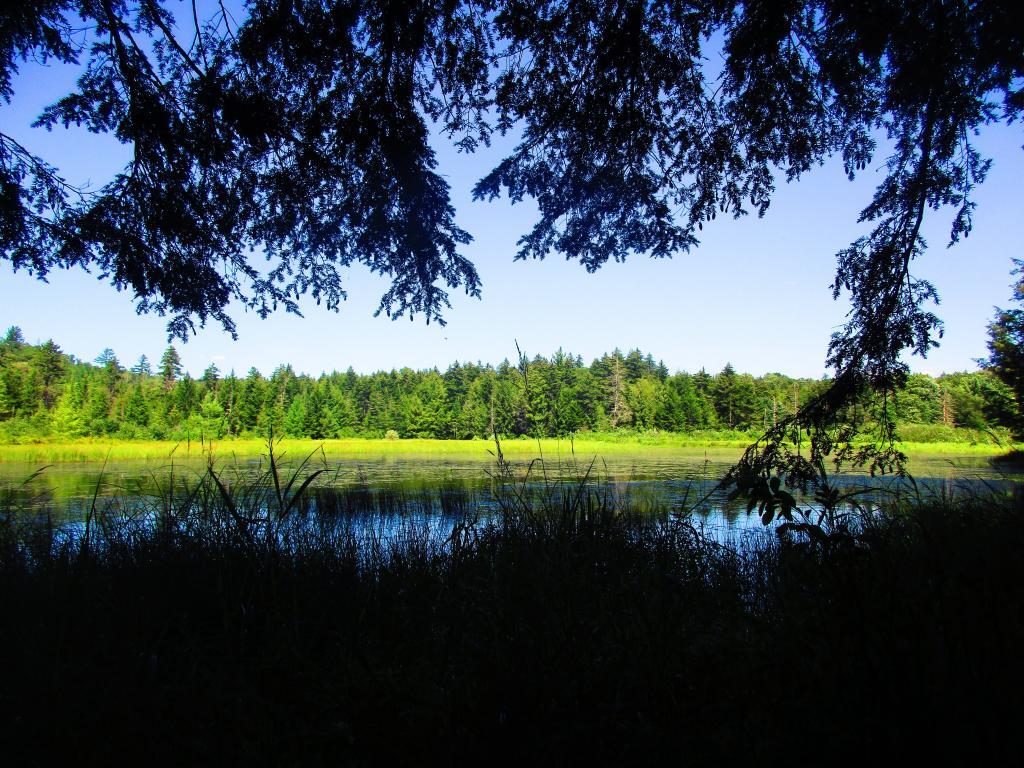

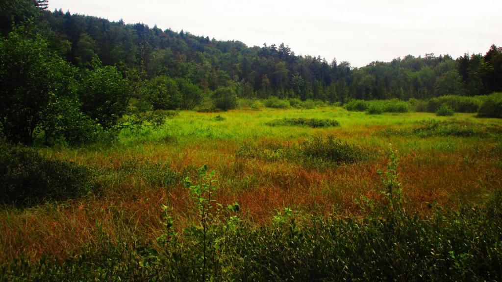
There are a lot of large marshy meadows in the Ferris Lake Wild Forest around Dexter Lake. Good places for observing wildlife.
Sunday August 15, 2021 — Ferris Lake Wild Forest — Crystal Lake And Glasgow Creek Trails 🗺 — Dexter Lake Trail 🗺 — Jerseyfield Lake Road Campsites 🗺 — Jerseyfield Road Campsites 🗺 — Spectacle Lake 🗺 — Spectacle Lake Trail 🗺 — Third Lake Trail 🗺— PDF with All Maps 📚