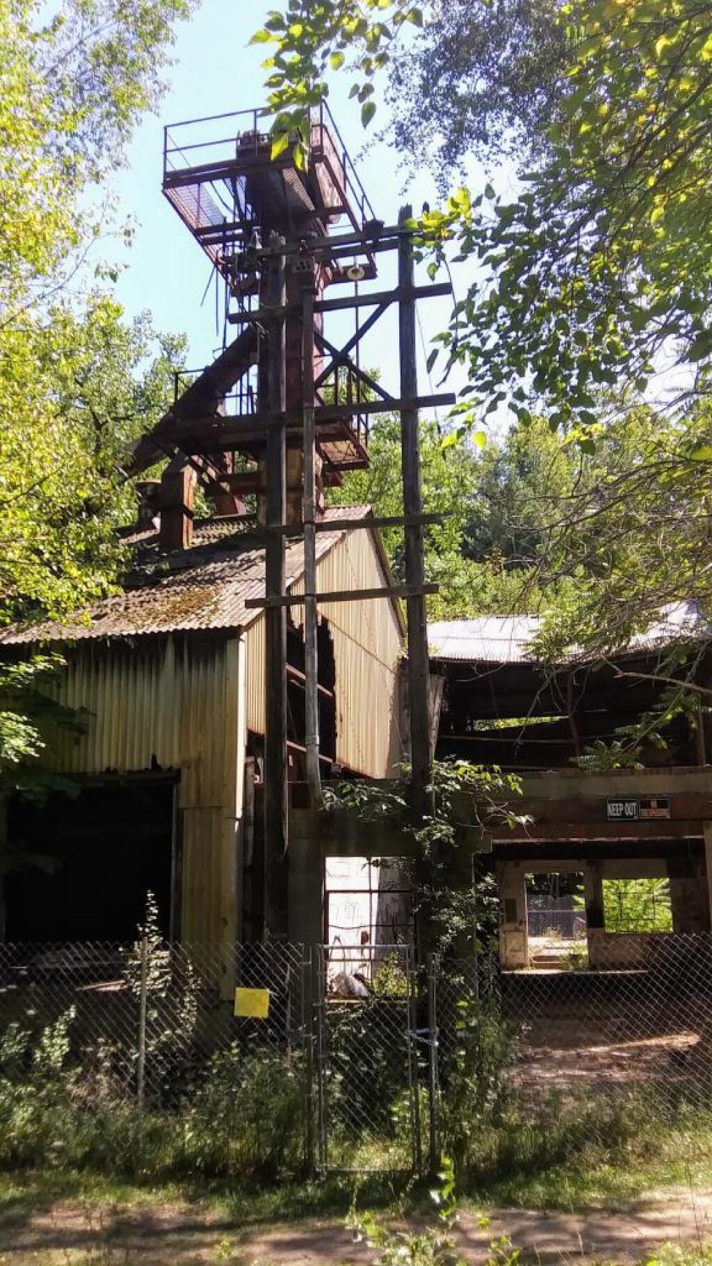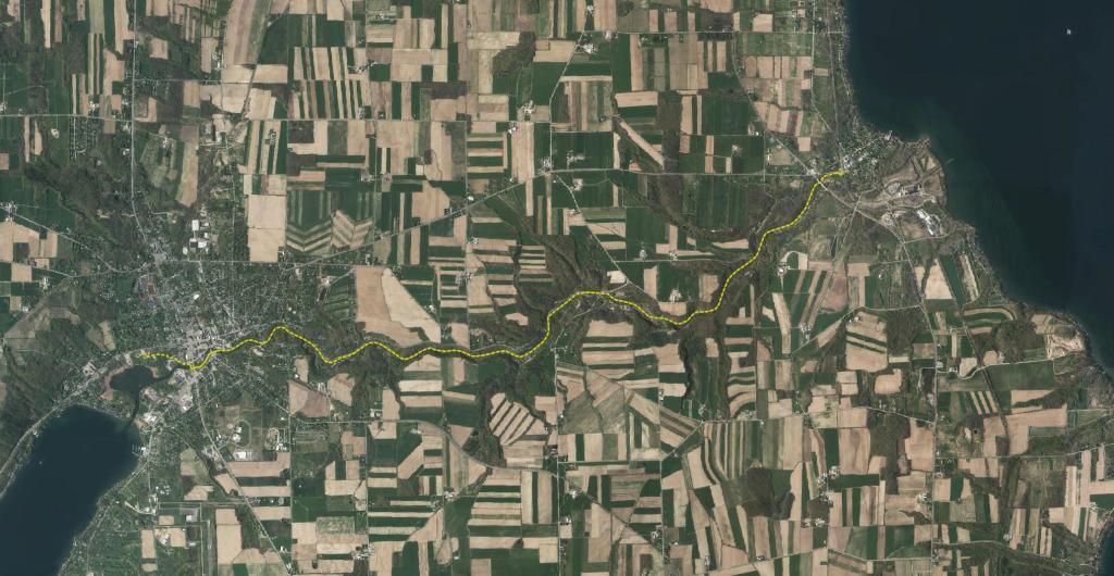
Kueka Outlet Map
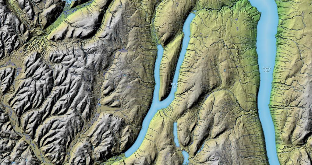
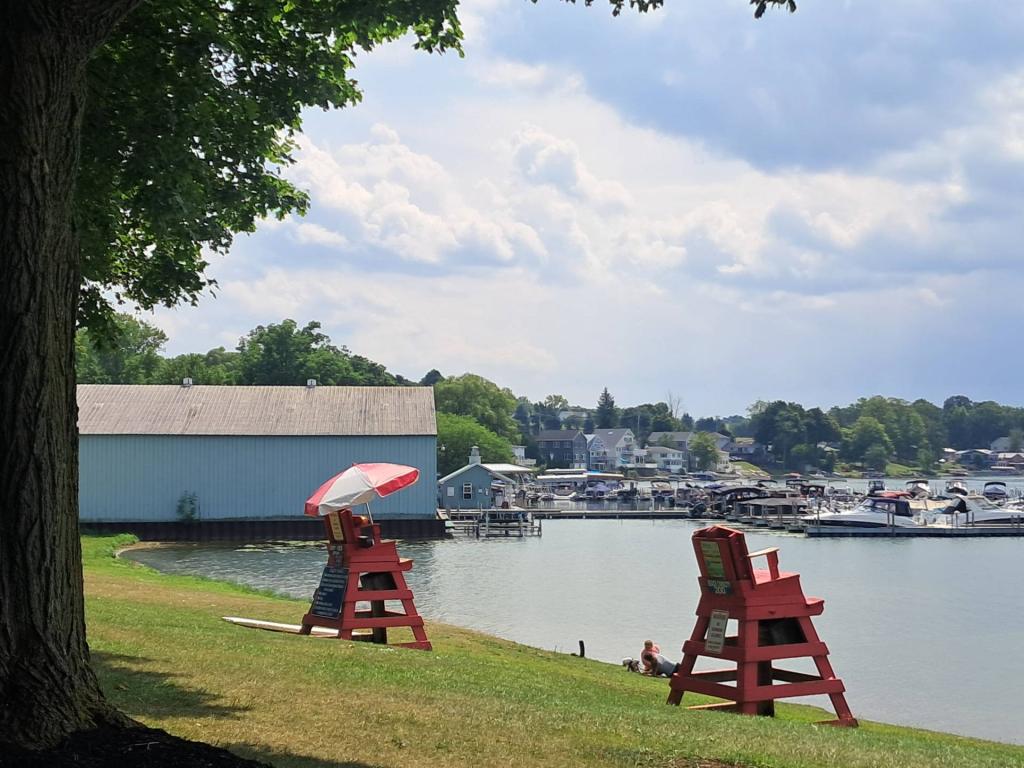
Keuka Lake is the odd little duckling of the Finger Lakes; but, it is not the “ugly” duckling by any stretch! Instead, Keuka Lake is beautifully unique and, though it shares much with its fellow “fingers,” it is set apart by its peculiar shape. Early settlers called this the “crooked lake” because, unlike the long and sinuous, finger-shaped lakes, Keuka Lake is forked and shaped like a Y. The odd shape is one of its many unique features, but more pertinent to outdoor enthusiasts is that Keuka is the only Finger Lake that drains into another. This gave rise to the Outlet Trail.