Sandy Bank of Cheney Pond
As afternoon progressed, it really start to clear out and look quite nice.
Saturday May 21, 2011 — Lester Flow and Cheney Pond
As afternoon progressed, it really start to clear out and look quite nice.
Saturday May 21, 2011 — Lester Flow and Cheney Pond

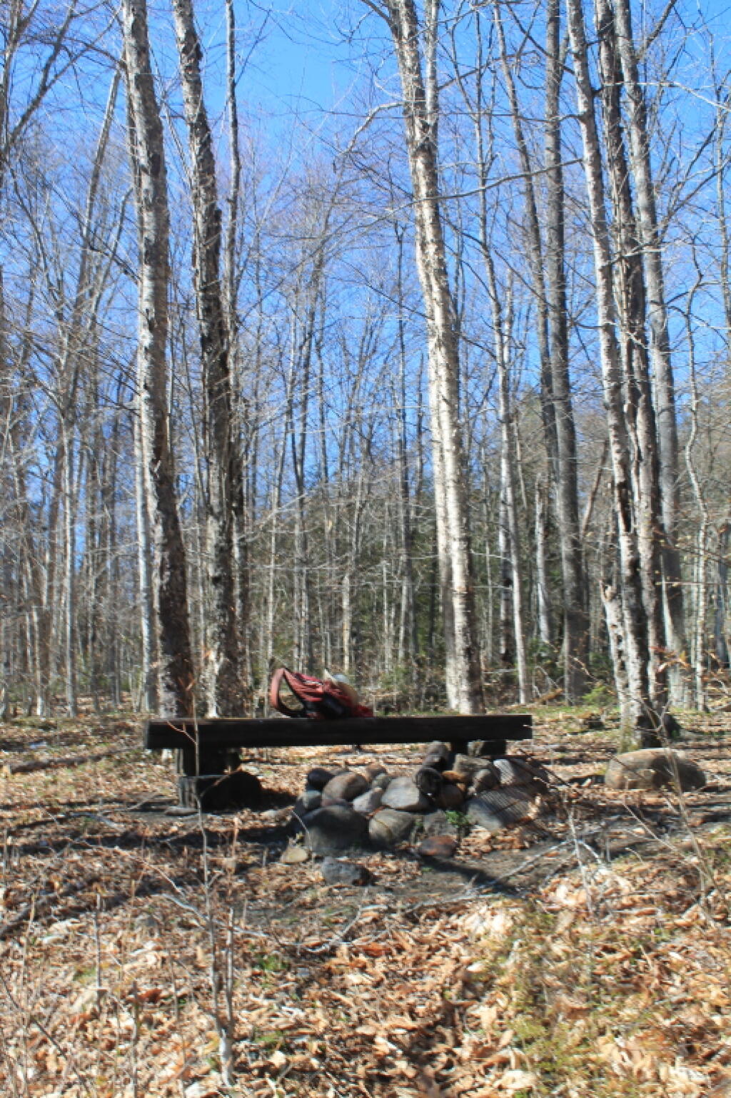
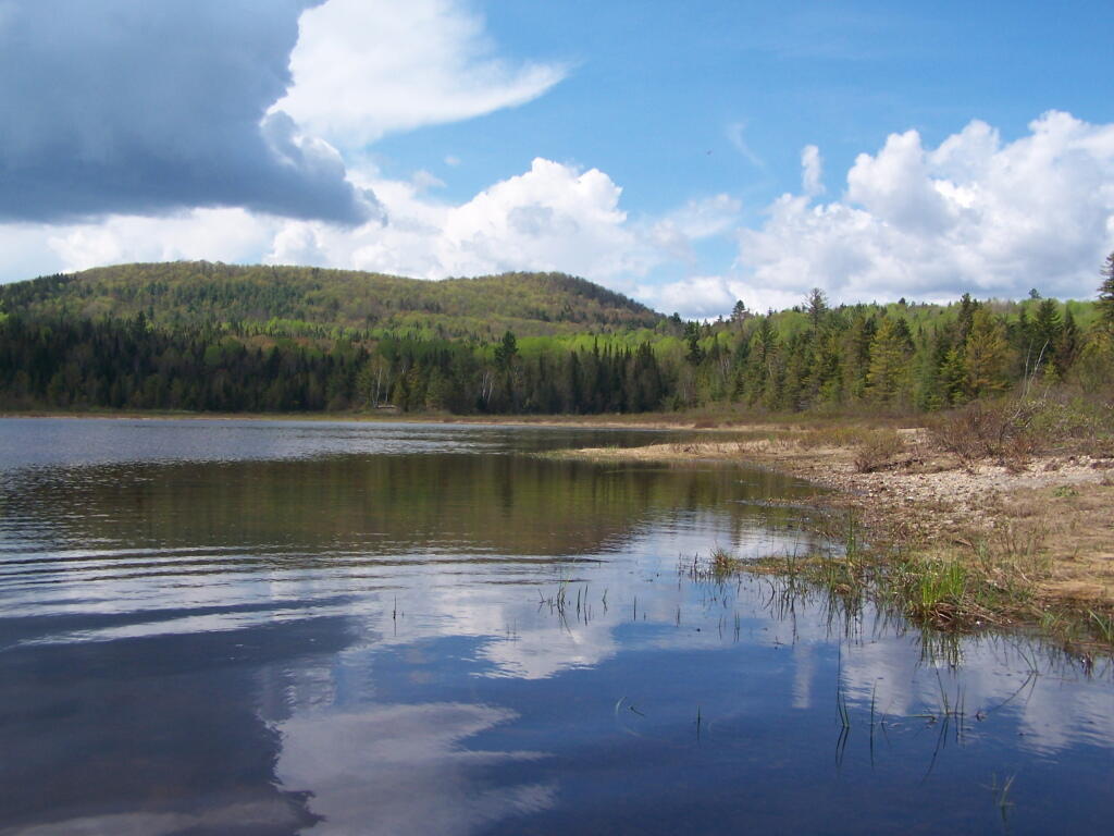
It is the mountain peak in the distance, with Cheney Pond and an unnamed ridge in the foreground. Along that shore there, not visible in this picture, is the paddle in campsites, and the Cheney Pond Lean-To.
Saturday May 21, 2011 — Lester Flow and Cheney Pond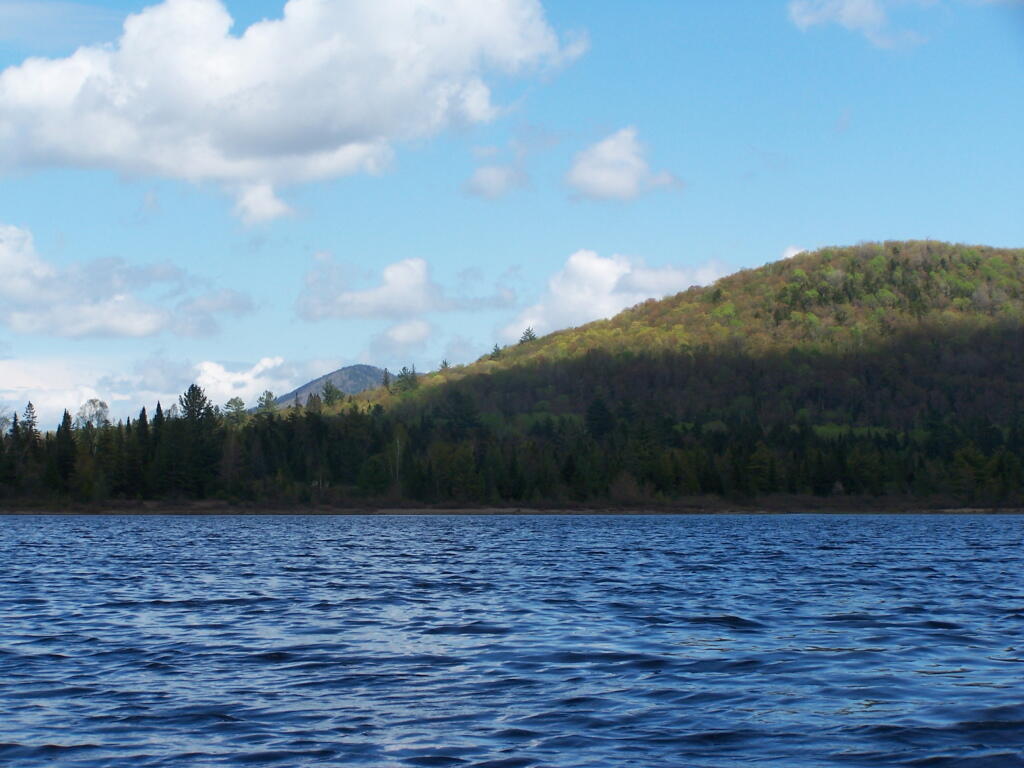

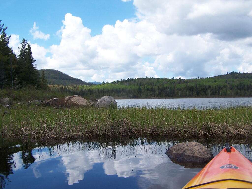


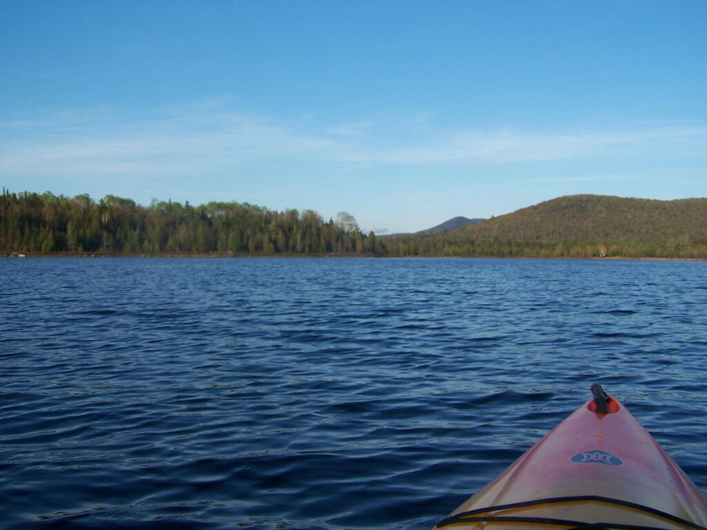
After spending a good portion of the afternoon up at Tawandus, I decided to go back down to Cheney Pond, and camp at the roadside site there. But first some paddling around the pond, then some dinner.
Saturday May 21, 2011 — Lester Flow and Cheney Pond