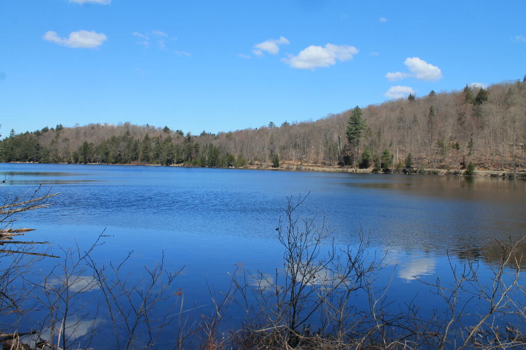
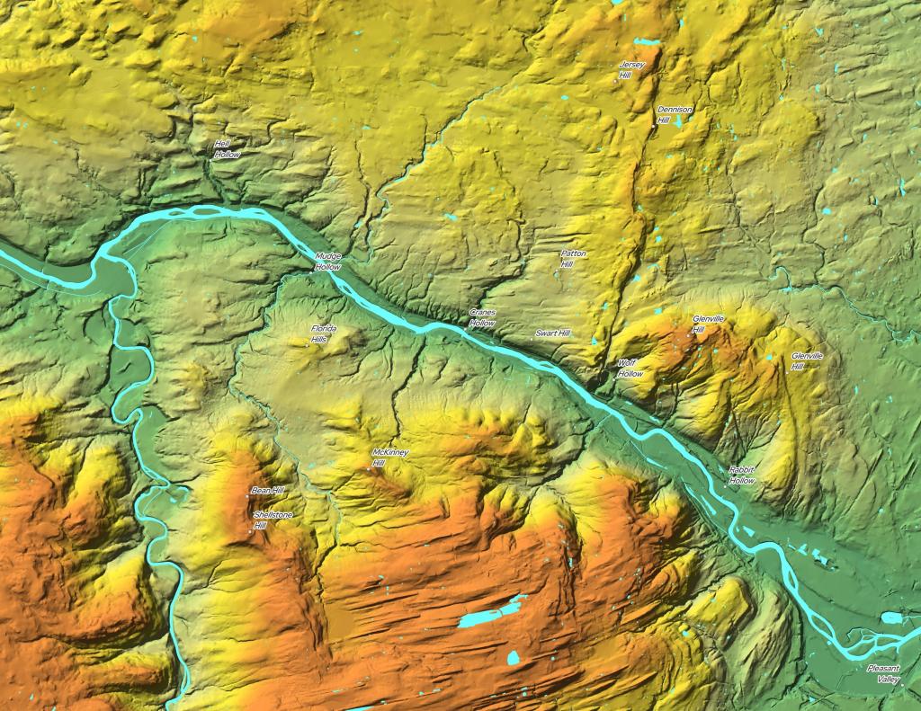
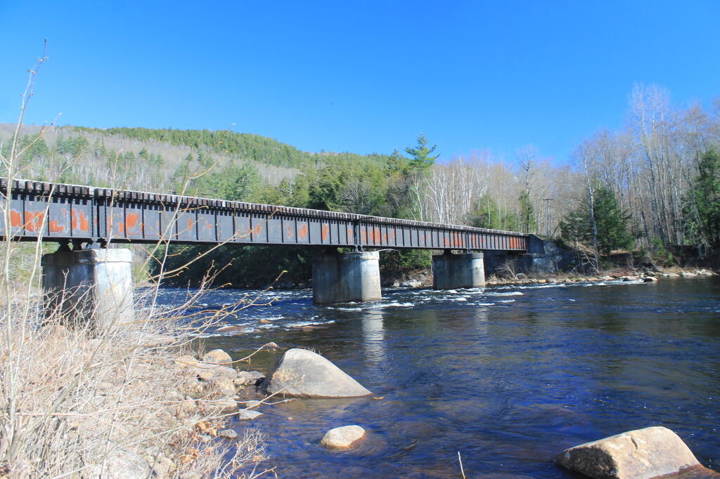
The trail to the Blue Ledges ends up at a beautiful spot on the Hudson River on the bank opposite the tall cliffs called the Blue Ledges. The cliffs rise over 300 feet and are spectacular! The river makes a right angle bend at this location and is filled with big boulders which, depending on water levels, may be well above the flow or part of a huge white water. There is also a section of sandy bank shore for those who like to wade. At the trailhead, follow the Blue DEC trail markers.