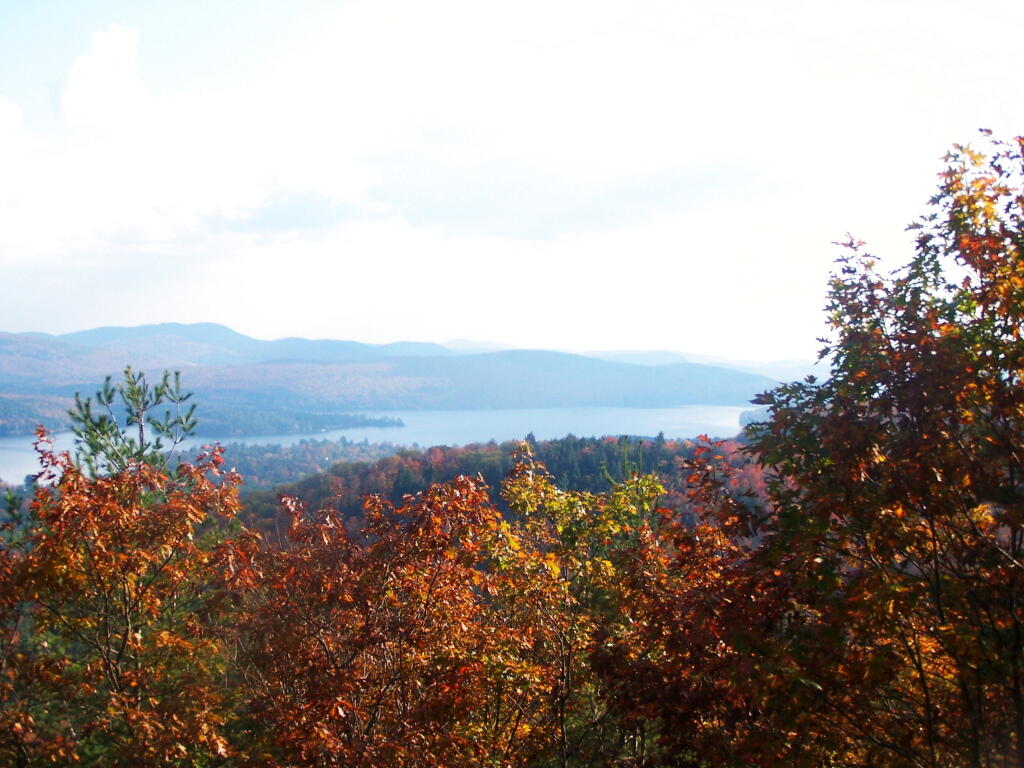
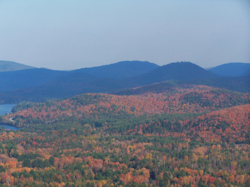
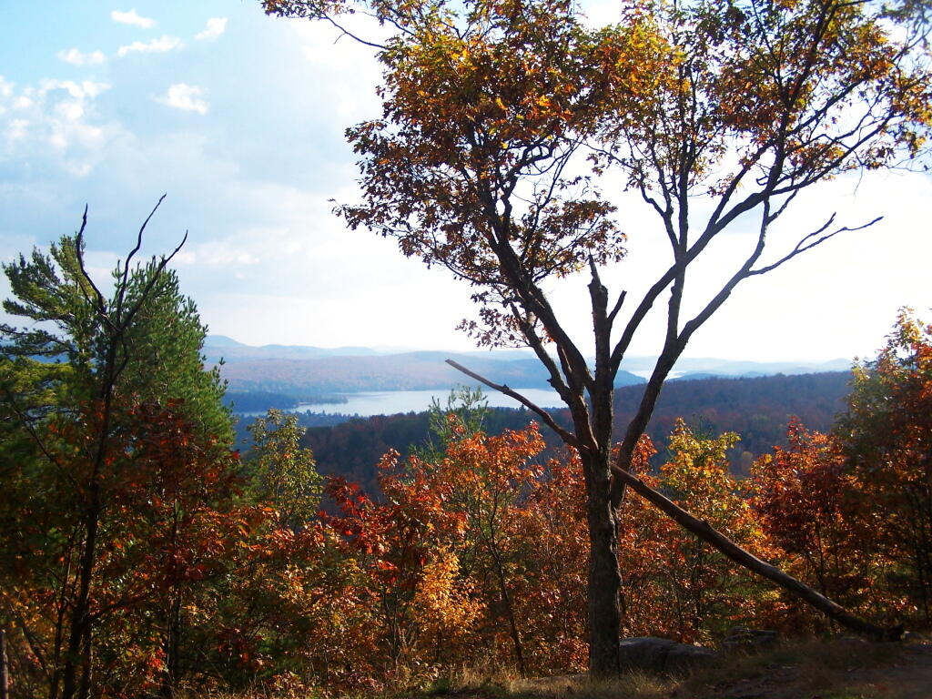
The 38,488-acre Hoffman Notch Wilderness is located in the east central Adirondack Park within the towns of Minerva, Schroon and North Hudson in Essex County. The wilderness area lies within the watersheds of the Boreas and Schroon Rivers. It is bounded on the north by Blue Ridge Road (County Route 2), on the east by Interstate 87 (the Northway), on the south by Hoffman Road and on the west by the Vanderwhacker Mountain Wild Forest.
The Hoffman Notch Wilderness is dominated by 3,693-feet Hoffman Mountain, which lies near the center of the Blue Ridge. Hoffman Notch, for which the unit was named, is sandwiched between Blue Ridge and Texas Ridge on the east and Washburn Ridge on the west. Two streams flow from the center of the notch outwards – the North Branch Trout Stream flows south, while Hoffman Notch Brook flows north.
A number of ponds can be found in the wilderness area including Big Pond, North Pond, Bailey Pond and Marion Pond.