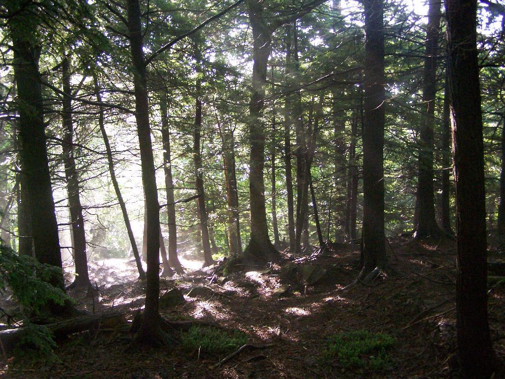
On Sunday I went for a hike a top of Twin Mountain. After getting up early on a Saturday morning, it was an interesting drive up Platte Clove Road in the morning. Everything was still wet in the woods from the previous night’s rain, it made some rather pretty god rays coming through the trees.
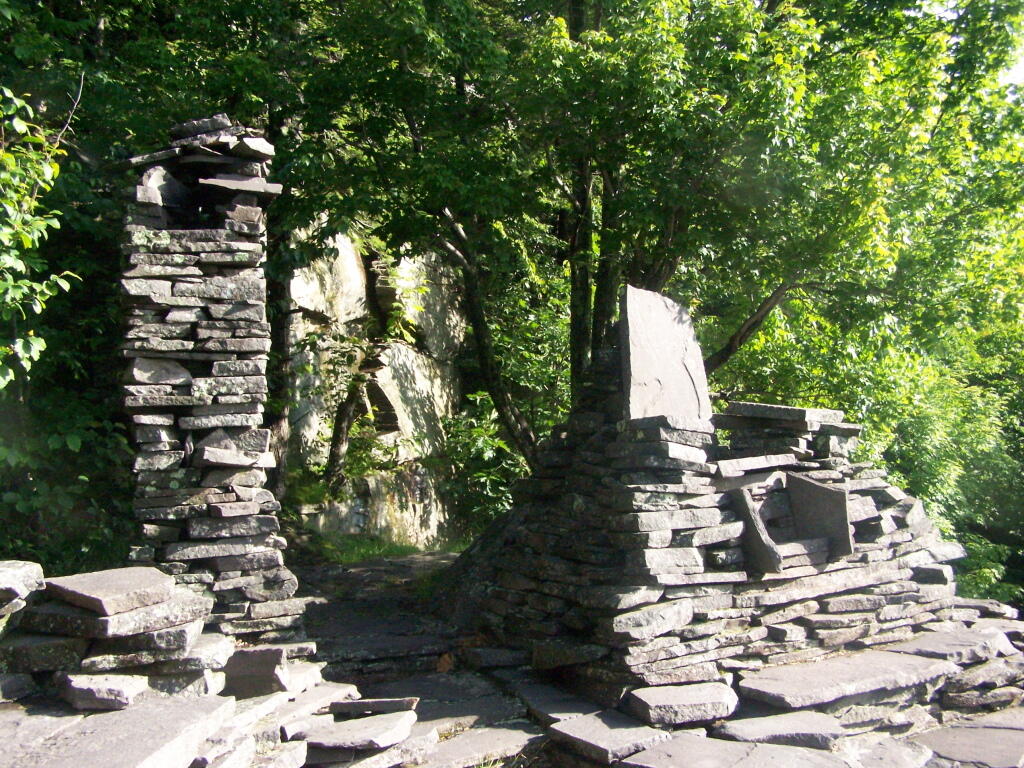
As you continue up the trail, there is a set of stone chairs in an old query.
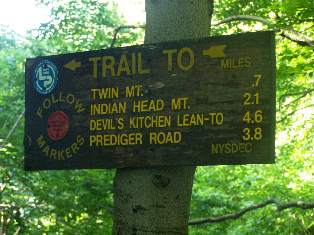
Following the Blue Trail.
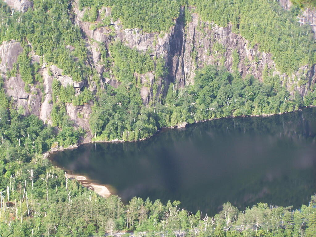
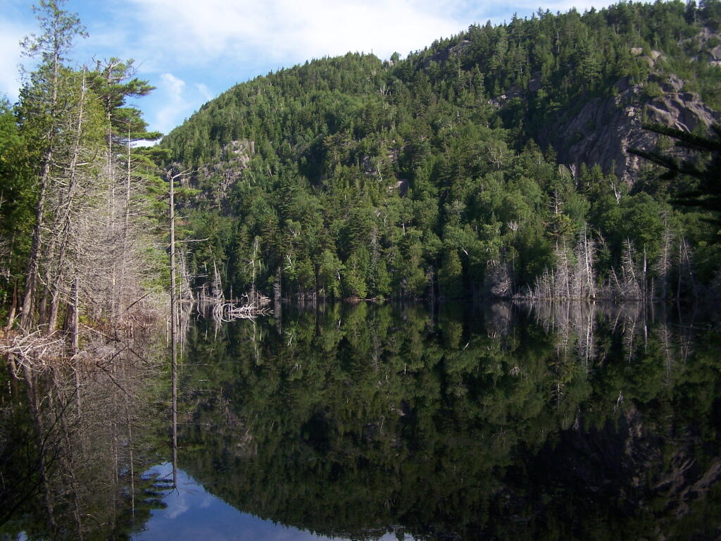
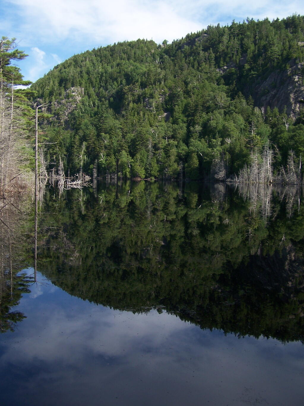
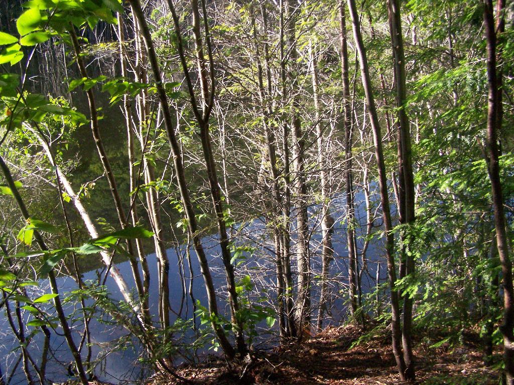
As you reach the the top of Pecoy’s notch there is a pretty Beaver Swamp between Twin and Sugar Loaf Mountains.
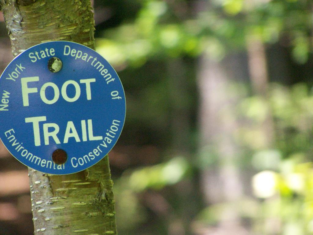
The sign to Twin Mountain says .7 miles remaining, but it’s a steep .7 miles to reach the top.
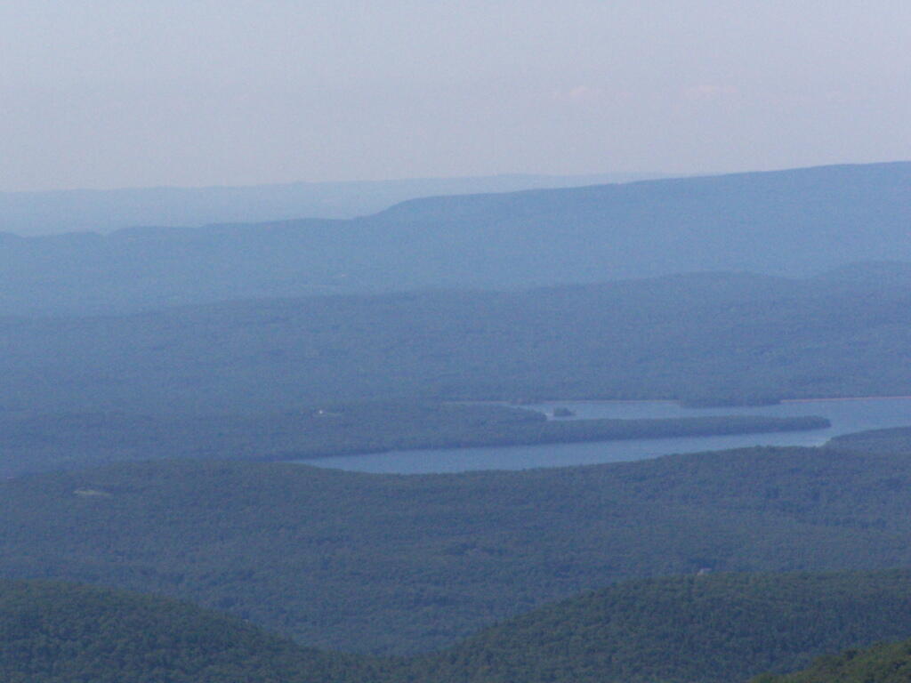
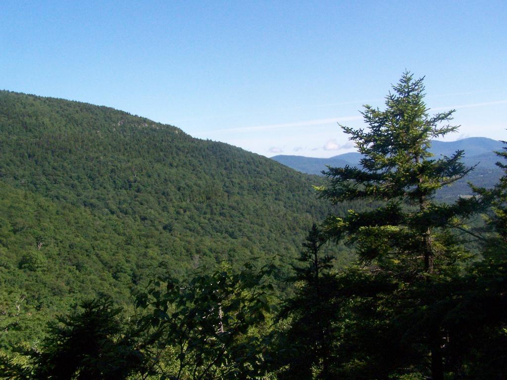
The views climbing the mountain show TriMount in the background and Sugar Loaf in the foreground.
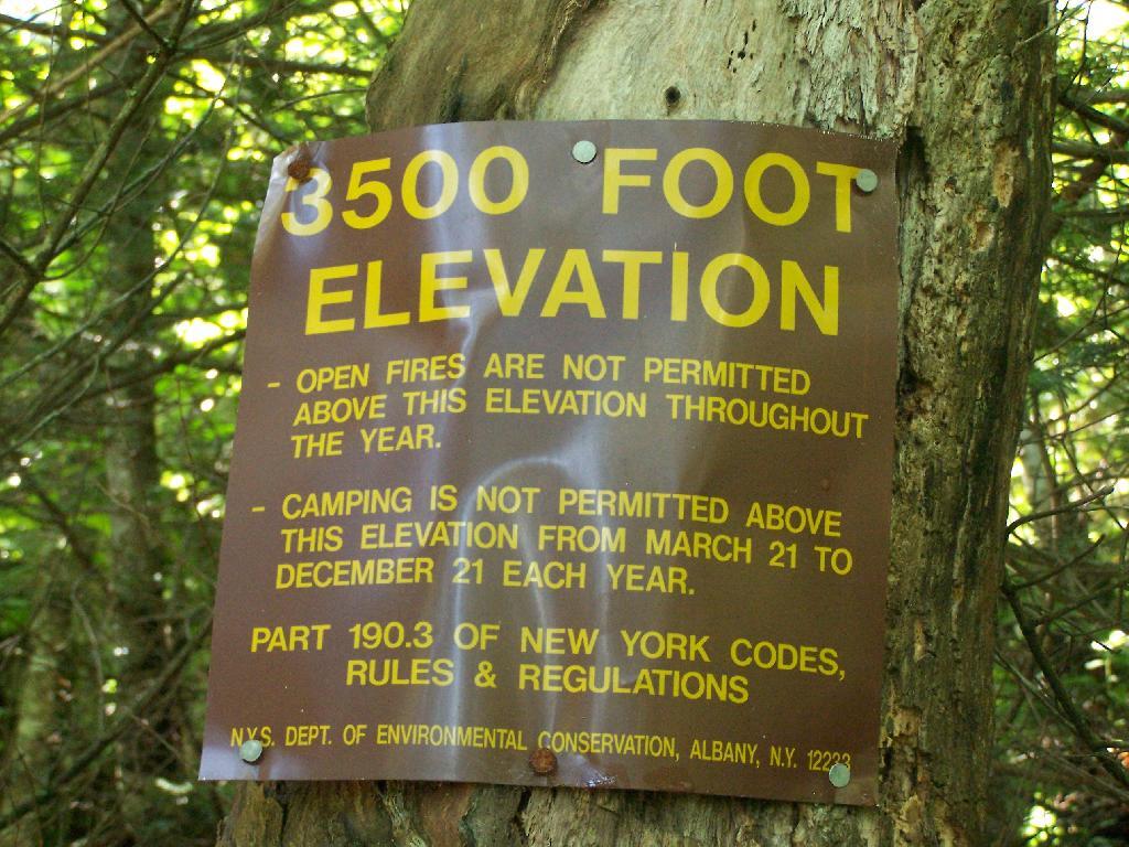
Finally you reach 3,500 feet elevation, and shortly there after the top of the western most peak of Twin Mountain.
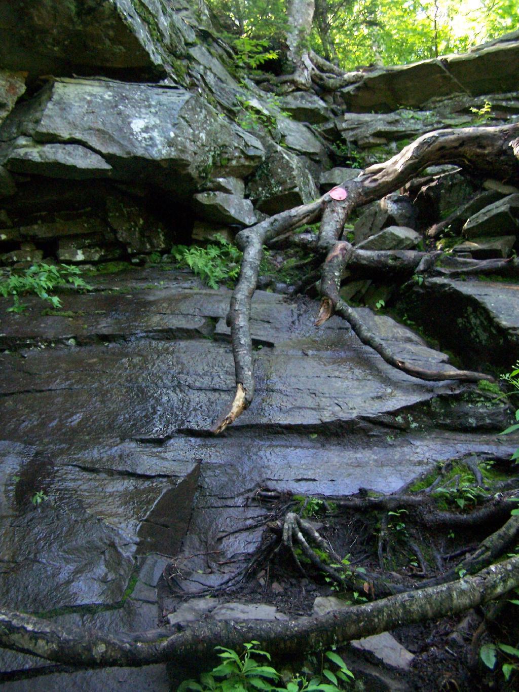
The trail is certainly steep at times. You have to climb up this wet rock face, with limited handholds for about 20 feet. Scratched up my radio doing this, and somewhat took my breath/sense of fear of heights when doing it.
The views of South Hunter Mountain, Platteau from the western peak of Twin are great. Also, don’t forget to continue on for another 1/2 mile down a dip and back up to the other peak of Twin Mountain.