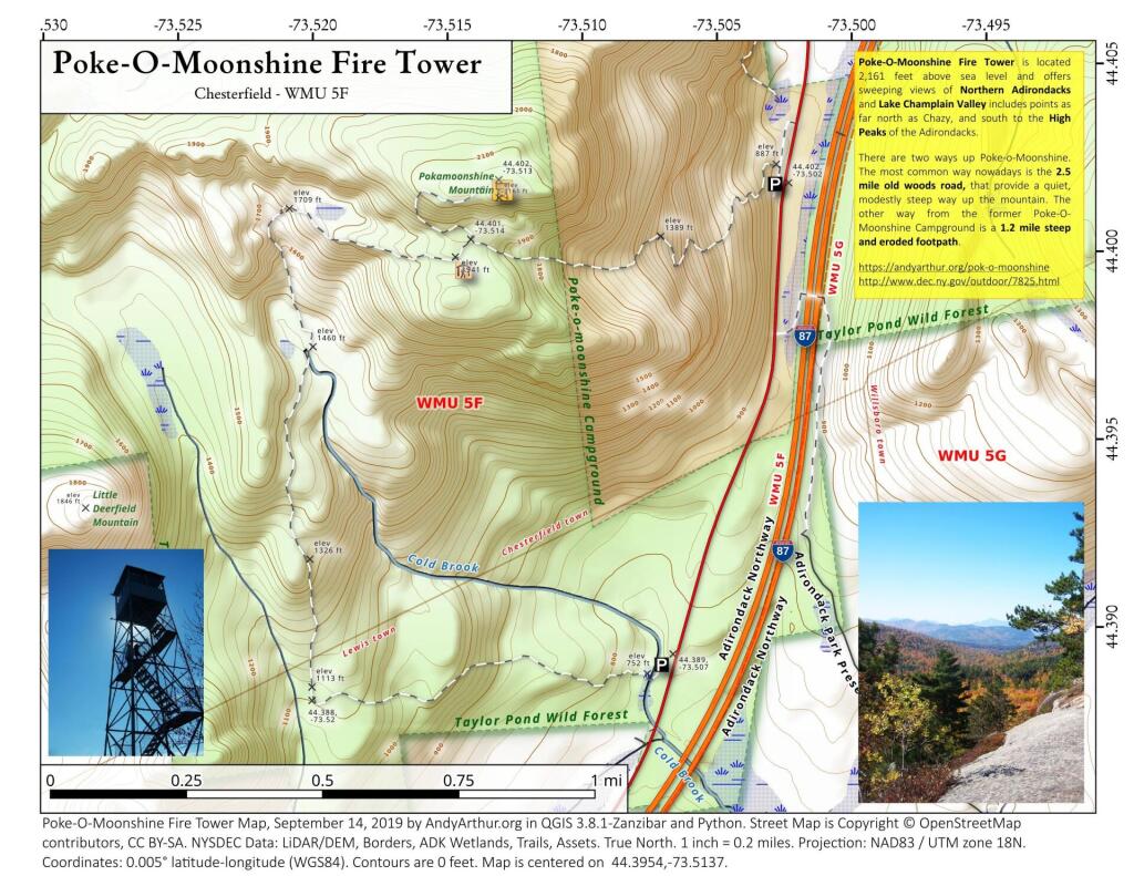
Beaver Swamp Along Trail


This a view through the base of the Pok-O-Moonshine Firetower. Somehow the lines breaking up the distant image is very attractive.
Saturday September 17, 2005 — Pok-O-Moonshine — Poke O Moonshine Fire Tower 🗺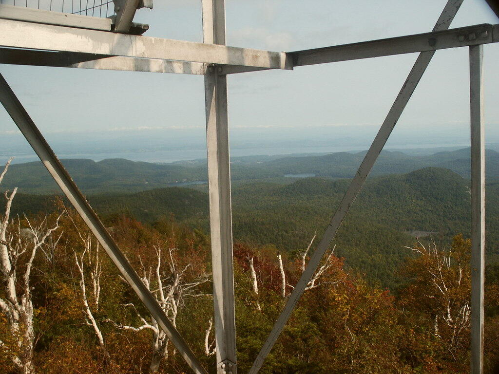

Poke-O-Moonshine Fire Tower is located 2,161 feet above sea level and offers sweeping views of Northern Adirondacks and Lake Champlain Valley includes points as far north as Chazy, and south to the High Peaks of the Adirondacks.
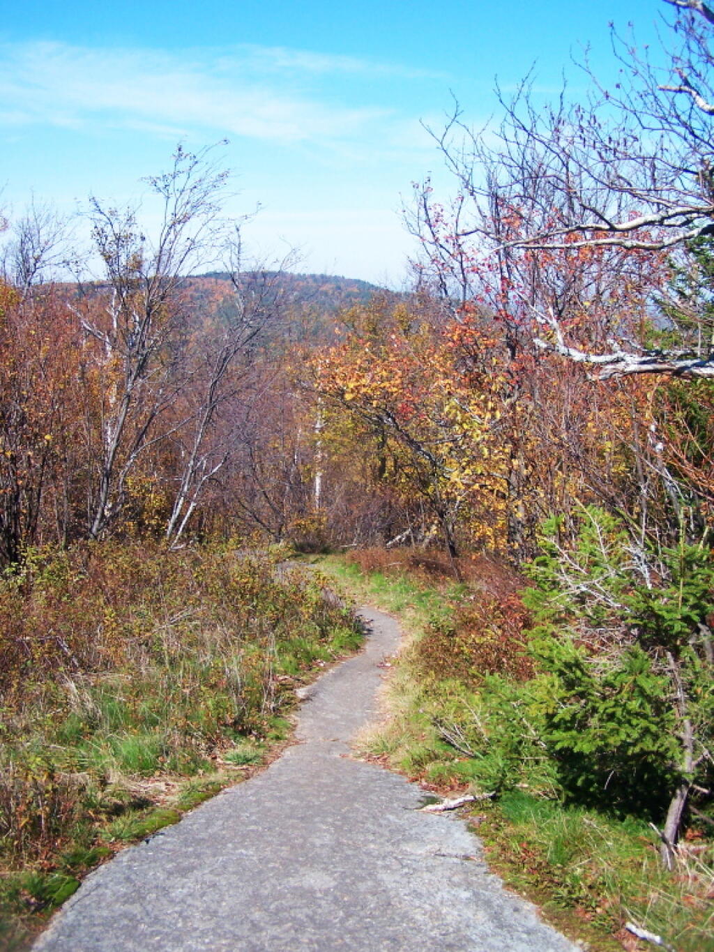
There are two ways up Poke-o-Moonshine. The most common way nowadays is the 2.5 mile old woods road, that provide a quiet, modestly steep way up the mountain. The other way from the former Poke-O-Moonshine Campground is a 1.2 mile steep and eroded footpath.
https://andyarthur.org/pok-o-moonshine
http://www.dec.ny.gov/outdoor/7825.html