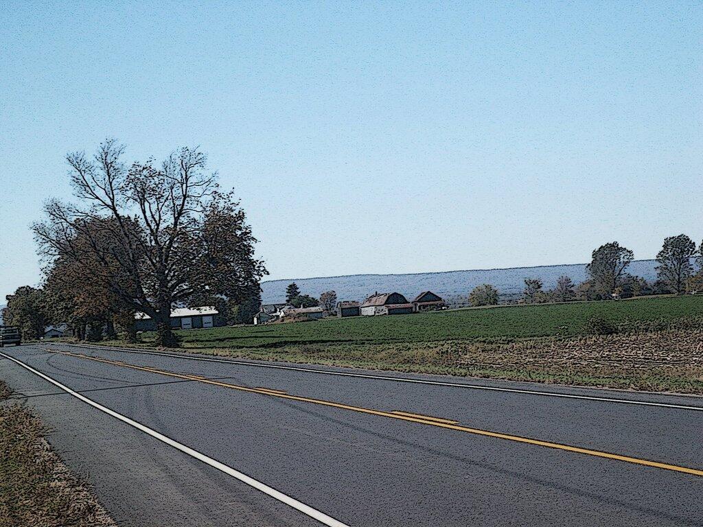
Point Au Roche Road Cartoon


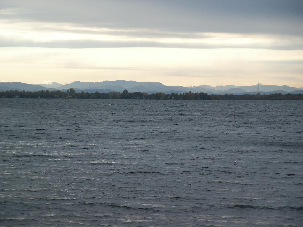
I think this oil is naturally occurring from the decomposition of plant material along the shoreline.
Sunday August 15, 2010 — Point Au Roche
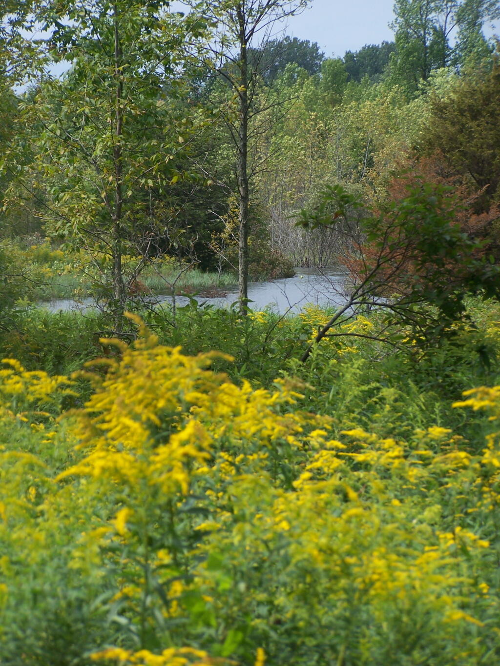
In the back is the swamp that between the boat launch and Camp Red Cloud Road.
Sunday August 15, 2010 — Point Au Roche