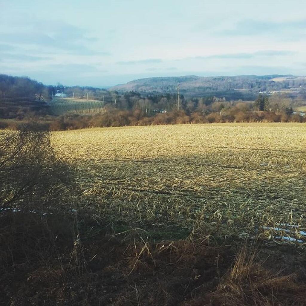
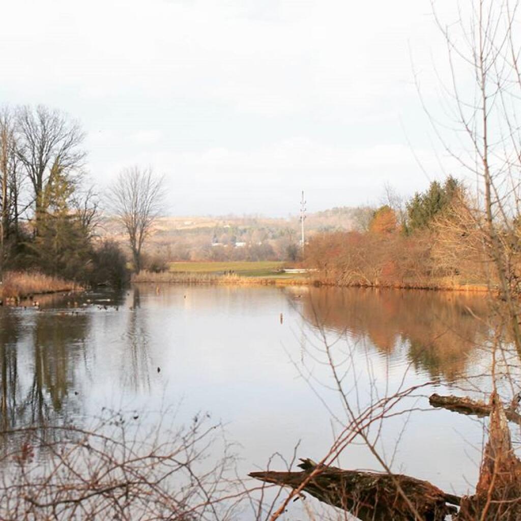
Wilderness is beautiful but so is a working landscape | December 30, 2025 Saturday December 28, 2019 — Rogers Environmental Education Center
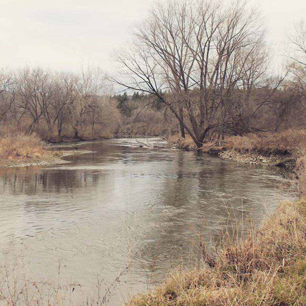
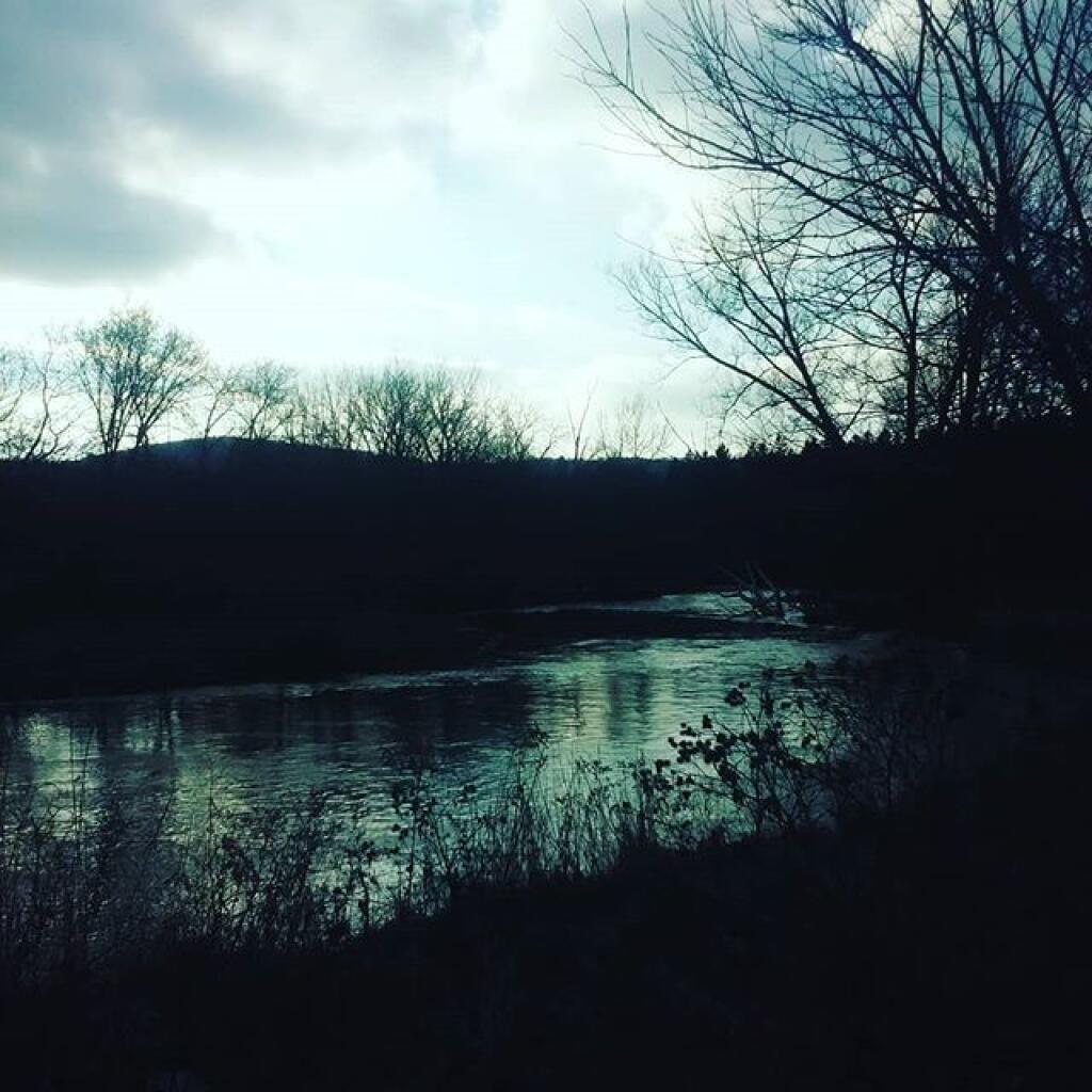
Chenango River Andy | December 24, 2025 Monday December 28, 2015 — Rogers Environmental Education Center