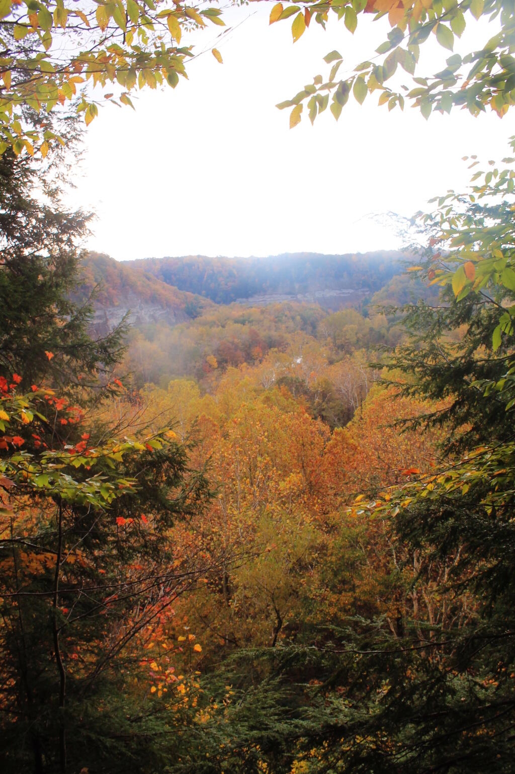
Cattaraugus County 📍

Cattaraugus County is a county located in the U.S. state of New York. As of the 2010 census, the population was 80,317. The county seat is Little Valley.

Cattaraugus County is in the southwestern part of the state, immediately north of the Pennsylvania border. The southern part of Cattaraugus County is the only area of western New York that was not covered by the last ice age glaciation and is noticeably more rugged than neighboring areas that had peaks rounded and valleys filled by the glacier. The entire area is actually a dissected plateau of Pennsylvanian and Mississippian age, but appears mountainous to the casual observer. The plateau is an extension of the Allegany Plateau from nearby Pennsylvania. Southern Cattaraugus County is part of the same oil field, and petroleum was formerly a resource of the area. It is now mostly played out, but natural gas continues to be extracted.

http://en.wikipedia.org/wiki/Cattaraugus_County,_New_York

🗺️ Maps 🖼️ Photos
Terrain Map: Mahanoy Mountain
Map: Cod Pond Trailhead   Camping Opporunities
Map: Harding Road Trail
Thematic Map: Texas is Big

Lake Contours for major lakes in Cattaraugus County

A common request I get is for lake contours for fishing. Unfortunately most counties have not digitized this data if any data exists at all.  Cattaraugus County has posted lake contours for many of it's lakes.

Thematic Map: US 9 Suffixes