Morning





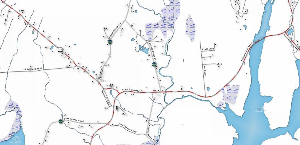
I grew up in Dormansville. The other day, I was looking at the Microsoft Buildings Footprint file, noticing how many buildings were in my rural neighborhood -- it's rural but not that rural. Certainly too many neighbors for comfort in my book, but that may go with the territory of being relatively close to a mid-sized city.