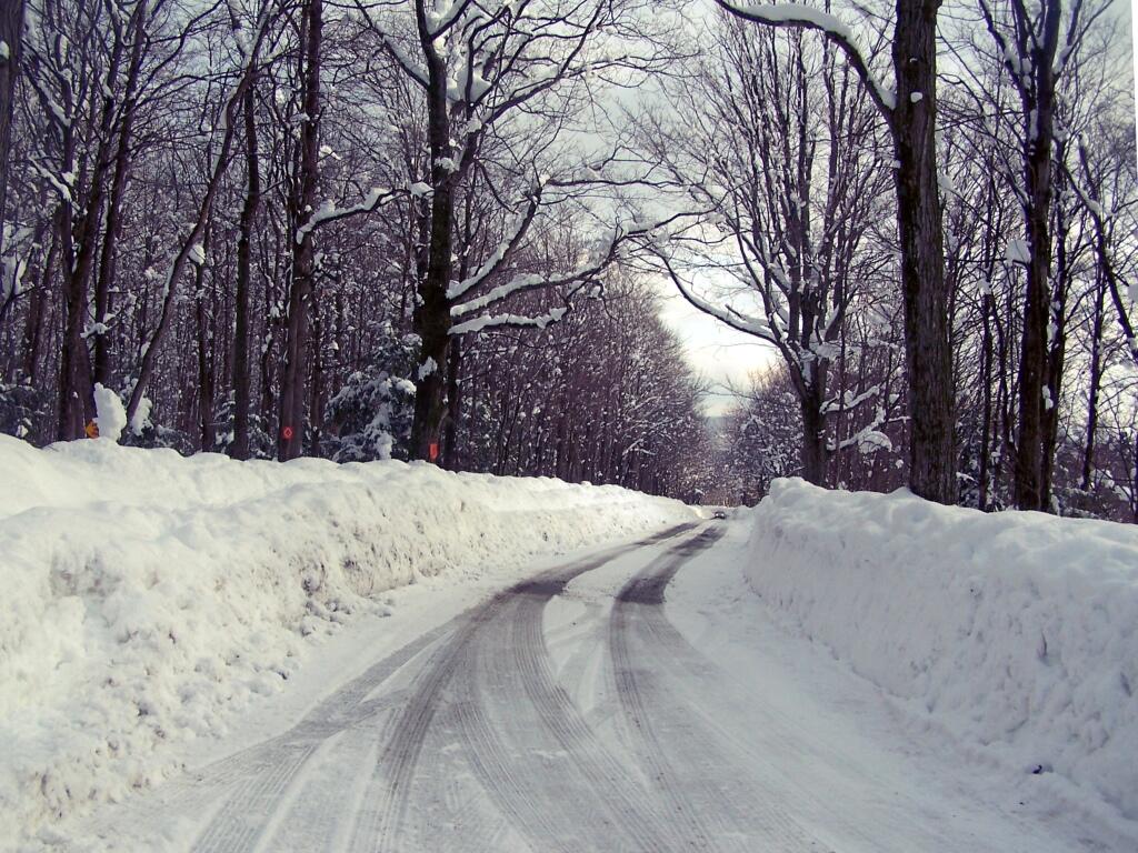
Ryan Road Snowbanks


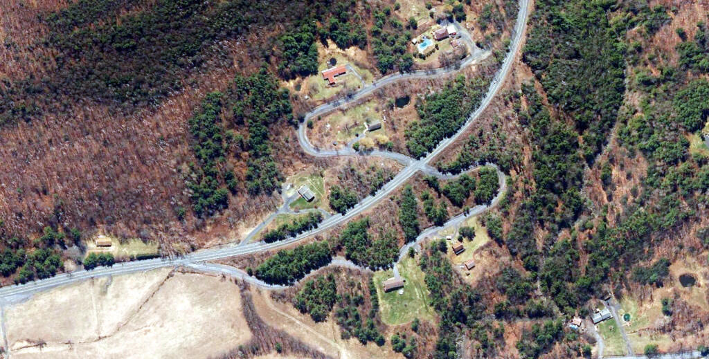
The original Letter S looked a lot like a giant letter S. I wasn't sure if it was always there, but I confirmed from the 1952 satellite photo that the old routing was still very existent going a while back.

Berne has a series of hills and valleys that drop off at the escarpment on the far east side of the town.
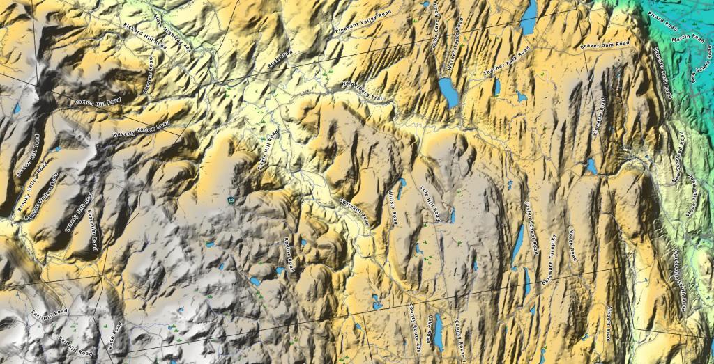
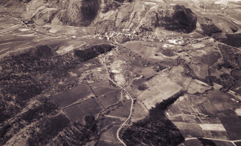
A 3D rendering of what Berne looked like in 1960 from the aerial photos taken April 1960.

Explore Berne over the past 25 years... 1996, 2001, 2004, 2007, 2011, 2017, 2021, 2024