
Albany, NY 📍

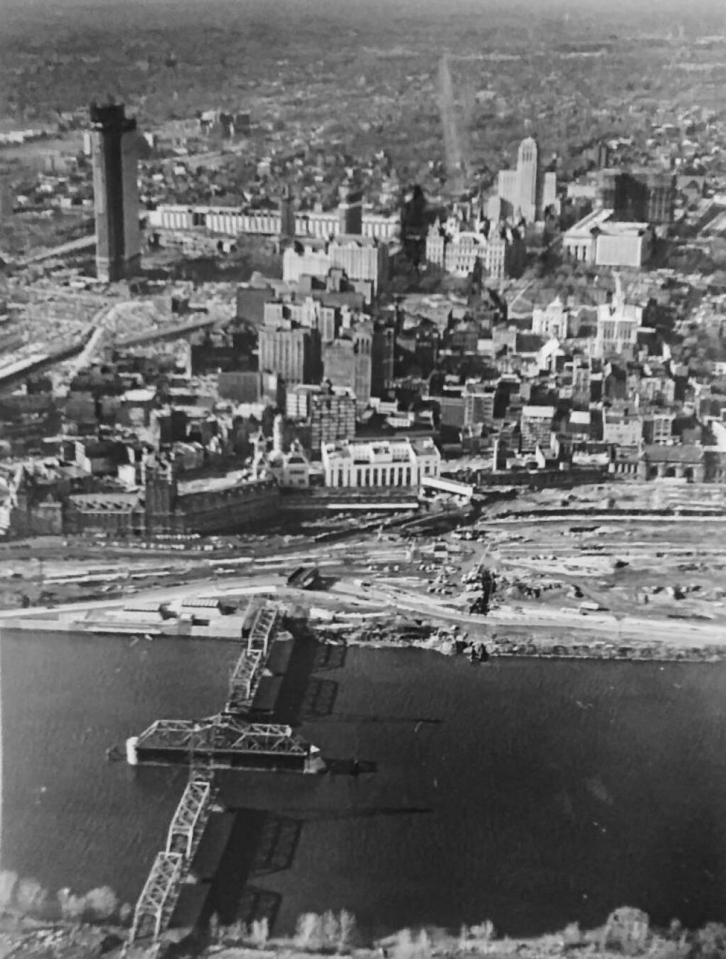
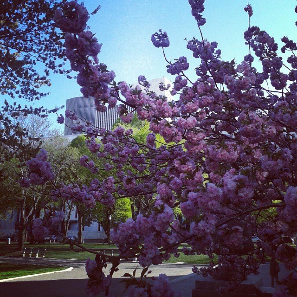
Albany is the capital city of the U.S. state of New York, the seat of Albany County, and the central city of New York’s Capital District. Roughly 135 miles (217 km) north of the City of New York, Albany sits on the west bank of the Hudson River, about 10 miles (16 km) south of its confluence with the Mohawk River. The population of the city was 97,856 at the time of the 2010 census.

http://en.wikipedia.org/wiki/Albany,_New_York

🖼️ Photos 📽️ Videos
Thematic Map: Census Tracts in America with Fewer then 100 People Per Square Mile
Map: Severence Hill Trail

Crossgates 1985

Stage 1 of the Crossgates Mall was done and open in 1985. Within 10 years, they would propose a much larger mall. The hog farm on Rapp Road art this point had been abandoned, it was starting to revert back to woods.

Crossgates 1985

Thematic Map: 2020 US Census Urban Areas in New York State
Map: Shindagin Hollow State Forest Ortho
Map: Diamond Notch Trail