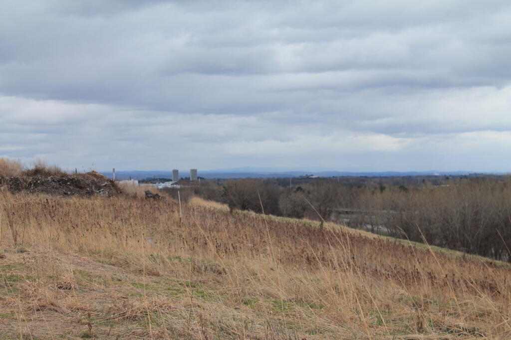

The GAL 📍

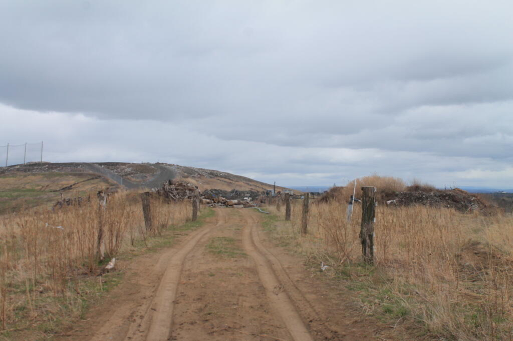
The Greater Albany Landfill, aka Albany’s landfill from 1969 until 1992. Most of it’s ash monofill, at least from 1978-1992. It was replaced by the Rapp Road Landfill to it’s east in 1992, a more modern lined landfill that replaced a sand-mine filled with garbage, that replaced the city’s older landfill in North Albany along I-787.

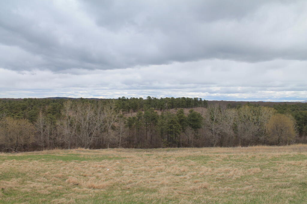
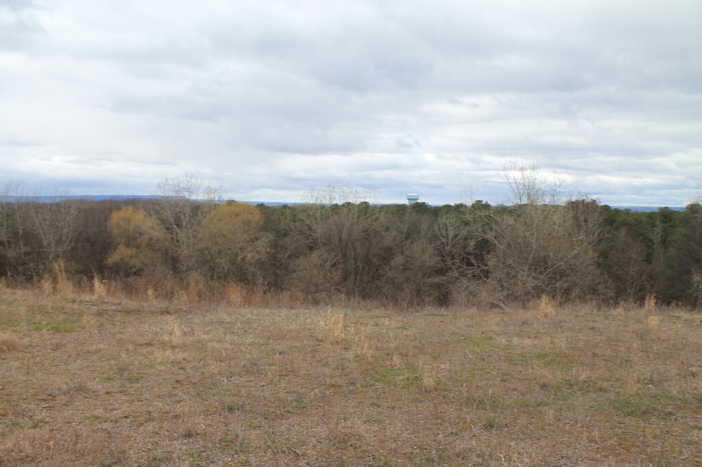
Too bad they’ve never really considered a serious recycling program in the city, because garbage is such a big business for the city. But it has great views, and it’s going to have some kind of Pine Bush like habitat up there some $20 million dollars later.

🖼️ Photos
Terrain Map: Preston Hollow

Methane Well

Looking at the hilly terrian atop the Greater Albany Landfill.

Saturday February 15, 2020 — The GAL
Thematic Map: New York Electric Grid
Thematic Map: Speed Limit on Interstates and State Touring Routes in Capital Region
Thematic Map: The fertile lands of the Black River Valley are Surounded by Tug Hill and Adirondacks
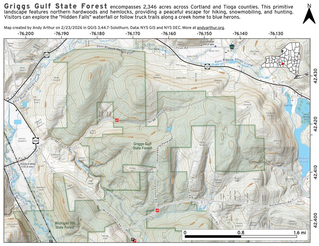
Map: Griggs Gulf State Forest