Albany County Rail Trail 📍

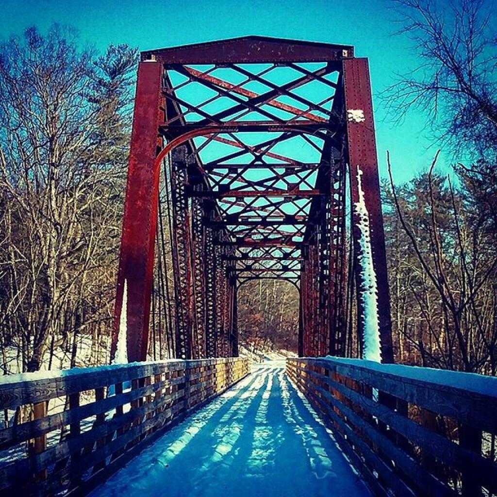
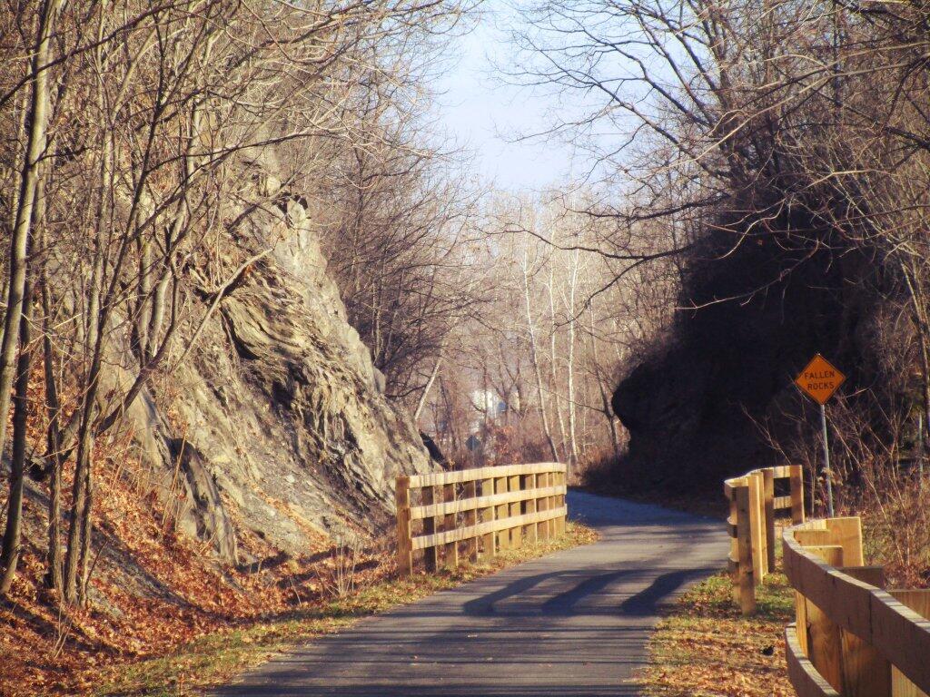
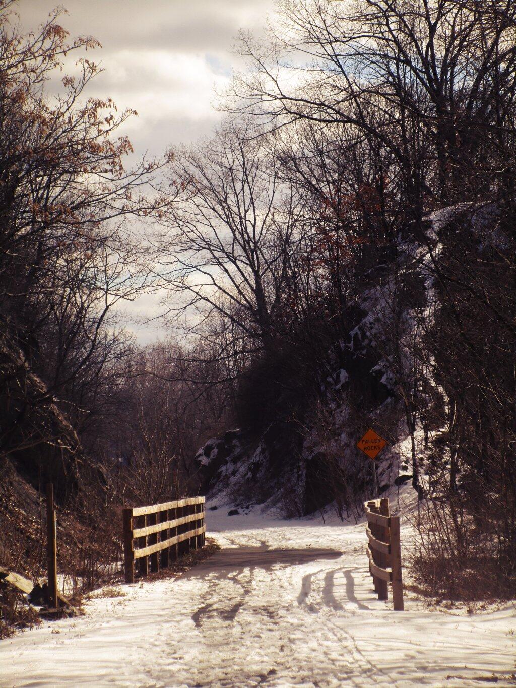
The Albany County Rail Trail, a cherished recreational gem in upstate New York, traces the path of a historic rail line, inviting locals and visitors alike to experience its scenic beauty. Extending through picturesque landscapes and connecting communities, the trail offers a well-maintained route for walking, jogging, biking, and other outdoor activities. With its smooth surface and gentle grades, the trail accommodates all skill levels and ages. Spanning approximately nine miles, this trail weaves through Albany County, showcasing diverse vistas from urban to natural. It provides a perfect avenue for exercise, relaxation, and exploration, passing through parks, neighborhoods, and green spaces. The Albany County Rail Trail stands as an accessible and inviting space, fostering an active and vibrant community while offering a delightful escape into nature.

http://mohawkhudson.org/helderberg-hudson-rail-trail/
http://www.albanycounty.com/Government/Departments/CountyExecutive/RailTrail.aspx

🖼️ Photos 📽️ Videos
Map: Bear Creek State Forest

Albany County Rail Trail

This orthophoto shows the Albany County Rail Trail and the Normans Kill Gorge. Notable in this photo is how the LiDAR shoots through the bridges, making the bridges shown on the orthophoto overlaid on the hillshade appear to drop into each gorge. Kind of a neat effect, as is the many deep ravines surrounding the rail trail.
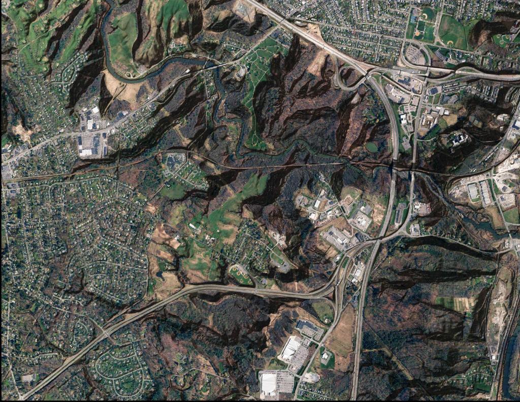
Ortho Albany County Rail Trail

Thematic Map: Troy vs Manhattan - A Size Comparison
Map: Pillsbury Mountain
Map: Empire State Topography
Thematic Map: Gerald Jennings 2009 Primary Campaign Contributions