![Untitled [Expires August 12 2025]](https://andyarthur.org//data/photo_007068_large.jpg)

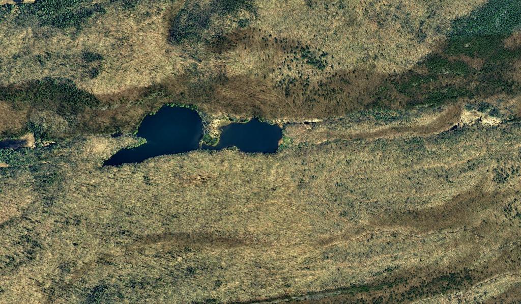
Limekiln Falls Area
Near the lands of Panther Mountain Club, and Panther Mountain, the Middle Branch of the Moose River dips north around Green Lake before decending Limekiln Falls. While no public access exists for these lands, the river is sometimes kayaked by by white-water kayakers.
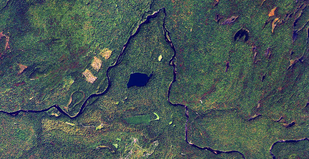

Cedar River Flow Campsites
Interactive map of the campsites along the Cedar River Flow.
How does the area of Manhattan (rotated) compare to Moose River Plains Camping Area?
Well, you can fit a rotated Manhattan into the area between Rock Dam Road Campsite 129A and Cedar River Limekiln Lake Road 7 and Campsite 111 on Otter Creek Road.
![Untitled [Expires October 27 2024]](https://andyarthur.org//data/photo_014618_large.jpg)

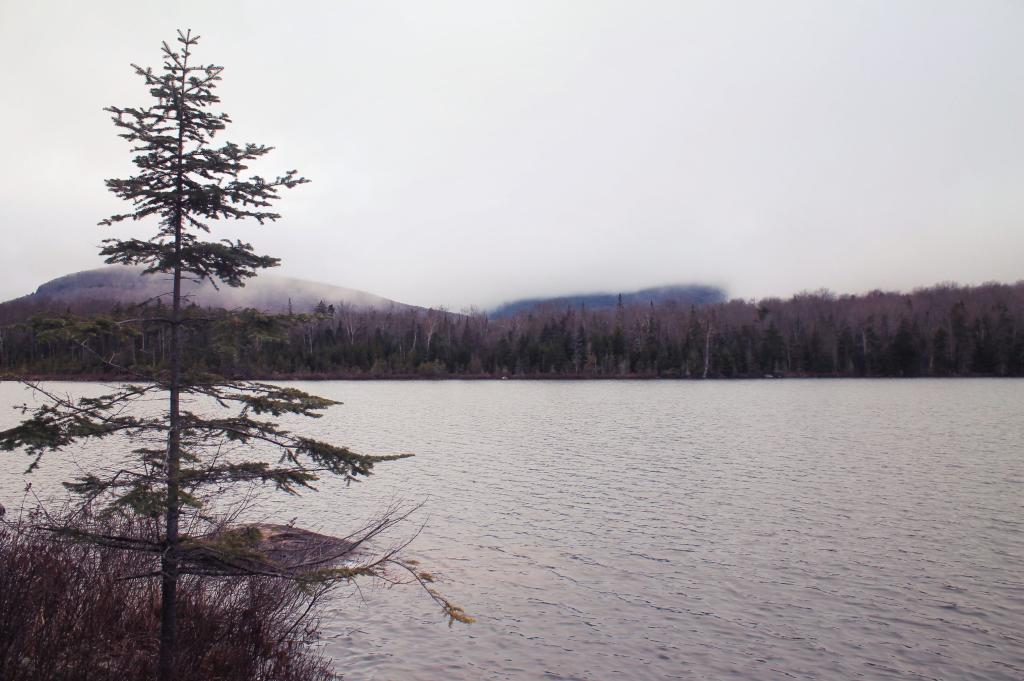
Shrouded in Fog
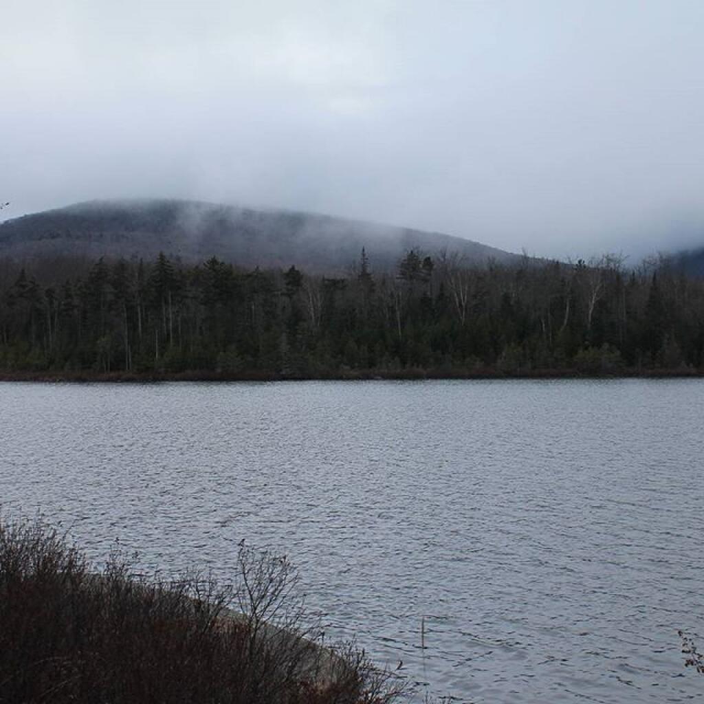

Fog Hangs Low Over Wakley Pond
Kind of a dreary day but I wanted to see what Moose River Plains looked like during the winter, that is before the roads were closed due to snow and ice.
Saturday November 28, 2015 — Wakely Pond