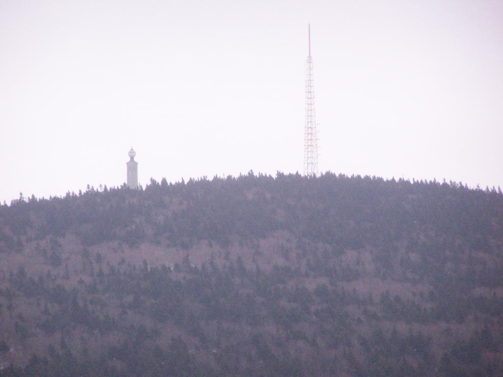
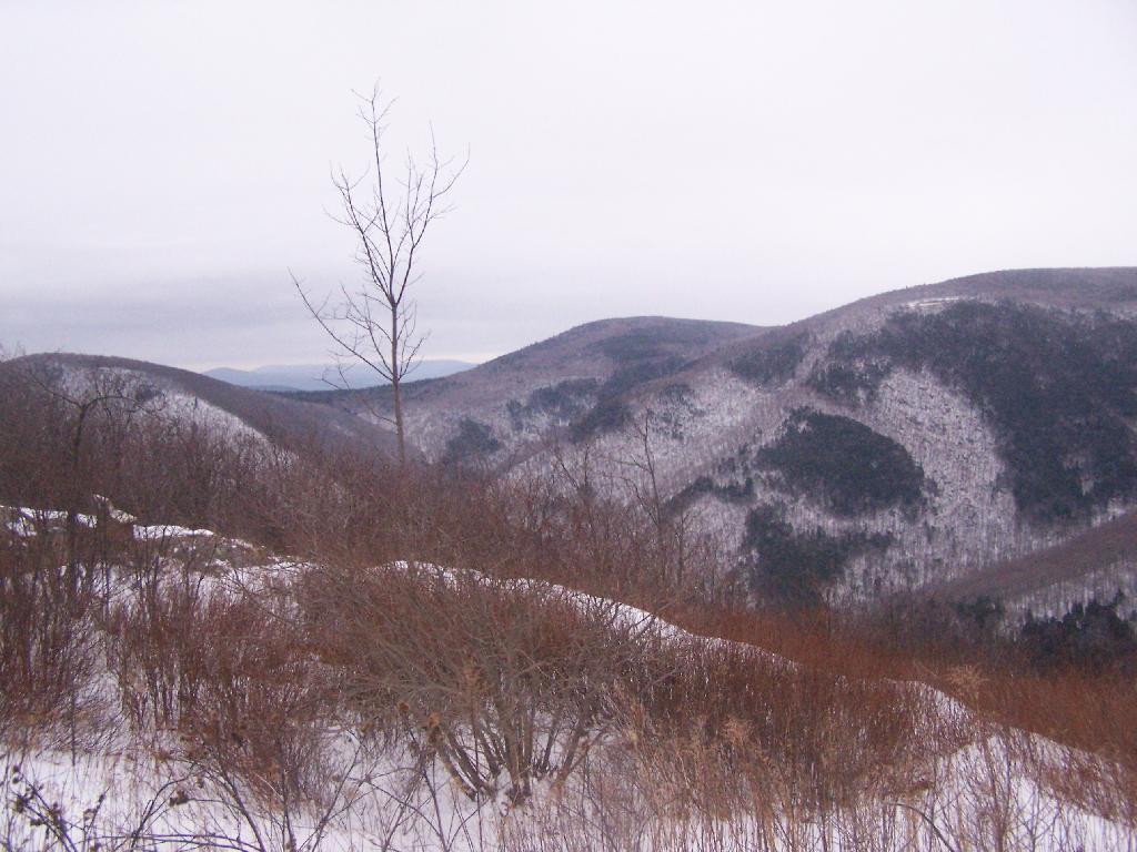
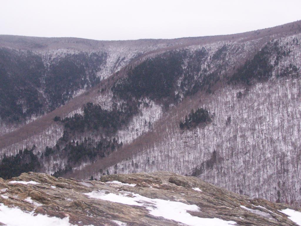
Mount Greylock War Memorial and WAMC Tower Andy | December 27, 2025 Sunday December 13, 2009 — Mount Greylock
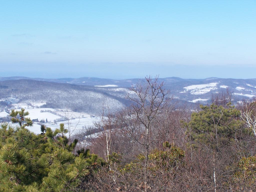
Mount Prospect, Mount Williams, and Mount Finch Andy | December 17, 2025 They form quite a pretty little clove. Sunday December 13, 2009 — Mount Greylock