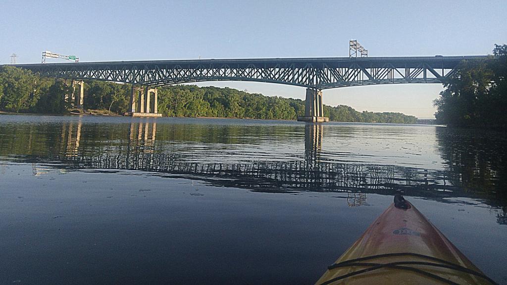
Dunn Bridge


The remains of Patroon Island, with channels largely landfilled in with debris from Empire Plaza urban removal and construction of I-787 is on the left, and the highlands of the Hudson Valley on the right, as things start to clear out.
Saturday May 7, 2011 — Kayak the Hudson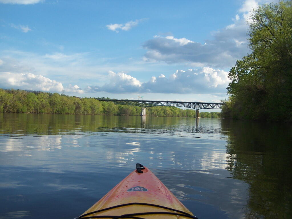


Kind of "surfing" the wake of other power boats going up the Hudson River.
Saturday May 7, 2011 — Kayak the Hudson