Horseshoe Lake 1907
Back when Horseshoe was still a village and AA Lowe had yet to build the Upper Dam.
Back when Horseshoe was still a village and AA Lowe had yet to build the Upper Dam.

The Adirondack Scenic Railroad doesn't get much use these das.
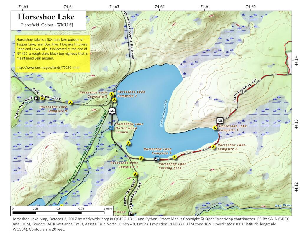
Tuesday June 23, 2020 — Horseshoe Lake — Horseshoe Lake 🗺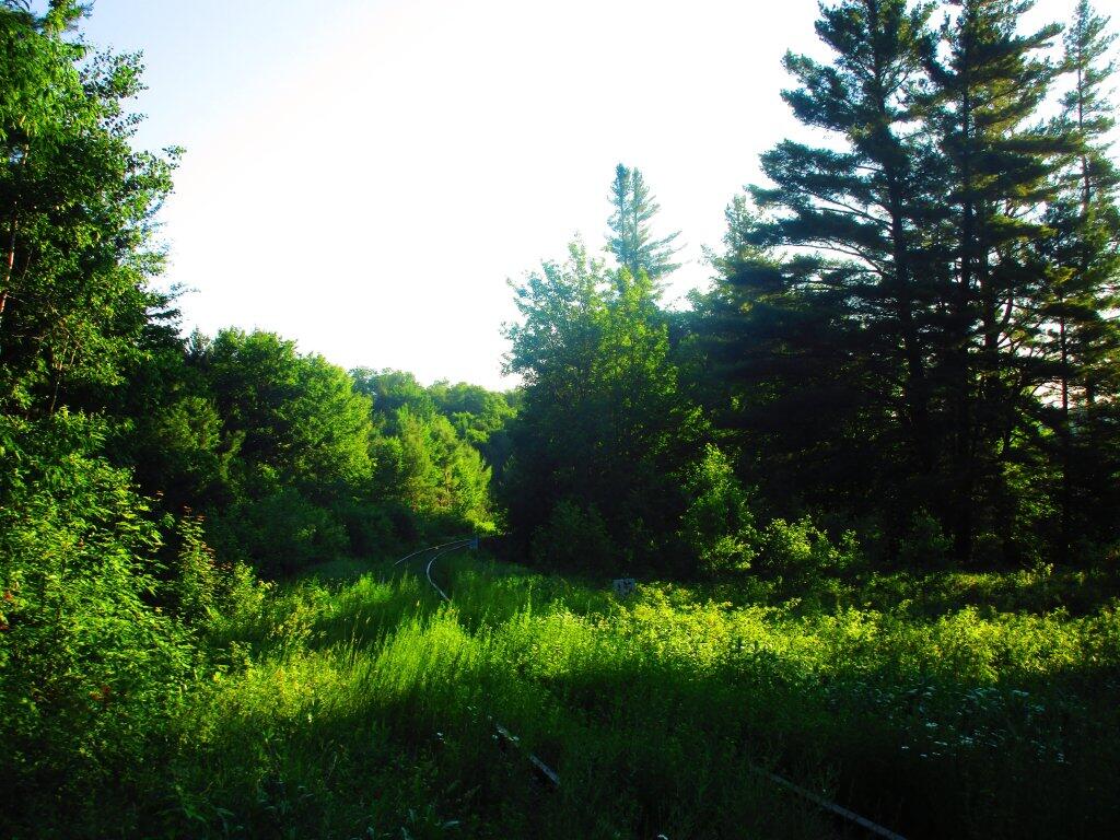

The Bog River Falls is not a mighty drop, but it's a popular place for people, myself included, to stop for lunch and take in the scenery. On a hot day, it's probably also a nice place to cool off.
Thursday June 25, 2020 — Bog River Flow — Bog River and Winding Falls Trails 🗺 — Bog River Trail 🗺— PDF with All Maps 📚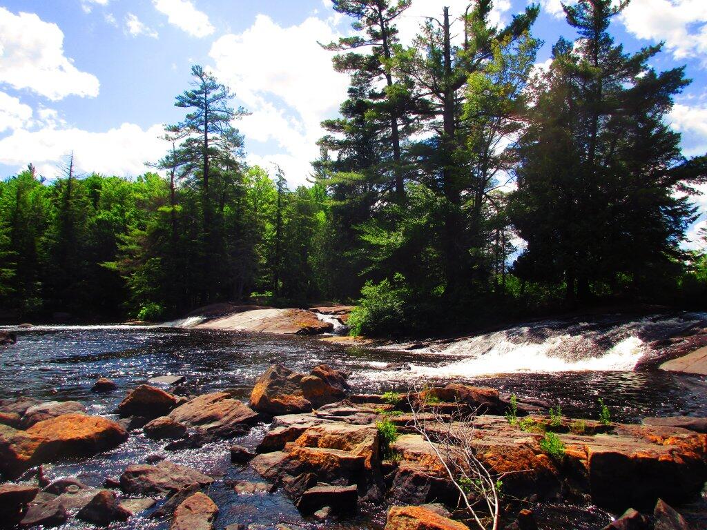

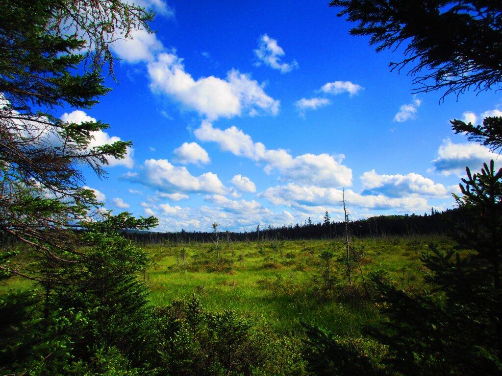
Walking past one of the backwaters to Hitchens Pond along the Lows Upper Road.
Wednesday June 24, 2020 — Bog River Flow — Bog River and Winding Falls Trails 🗺 — Bog River Trail 🗺— PDF with All Maps 📚