Hammond Pond 📍

The Hammond Pond Wild Forest is located in the northeastern Adirondacks and the Lake Champlain Basin of Essex County. There are approximately 40,036 acres in the unit, which is situated in the Towns of Crown Point, Elizabethtown, Moriah, North Hudson, Schroon, Ticonderoga, and Westport.

http://www.cnyhiking.com/HammondPondWildForest.htm

🗺️ Maps 🖼️ Photos 📽️ Videos
Map: Empire State Topography

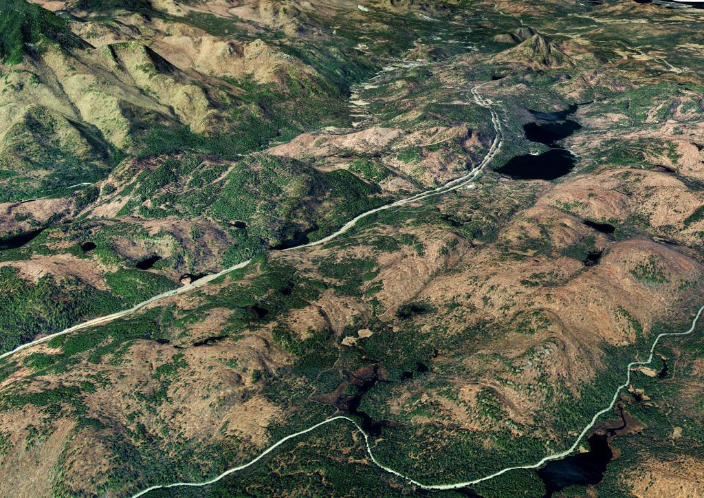
Four Mile Meadow, 1952 Before the Adirondack Northway

I have a bit of an obsession over Four Mile Meadow for many years now since my college days, which they ran the Adirondack Northway through. So I georeferenced an aerial photo from 1952 of the Four Mile Meadow on the MapWarper.

Map: Green Mountain National Forest North
Map: Severence Hill Trail

Four Mile Meadow

Ever since college I've been fascinated by the section of the Adirondack Northway that goes through a valley known as the Four Mile Meadow by Lincoln Pond, as seen on the 1953 Elizabethtown topographic map. While little signs of the Meadow exist anymore, I wonder if it was a natural meadow or due to logging. This section of the Northway really cut through the wilderness when it was built.

Map: Mountain House Trail and North Mountain
Map: Snowy Mountain
Map: South Bradford State Forest
Map: Empire State Topography