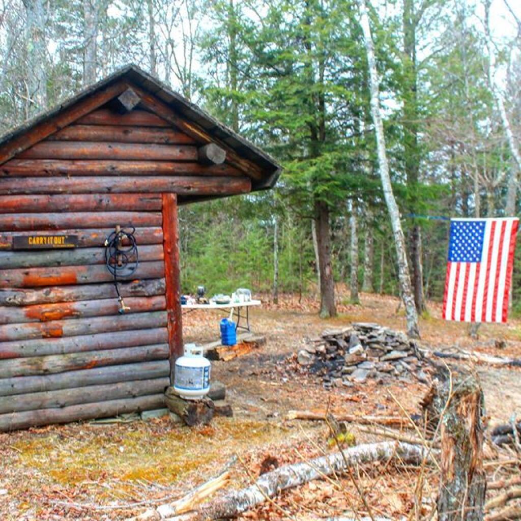
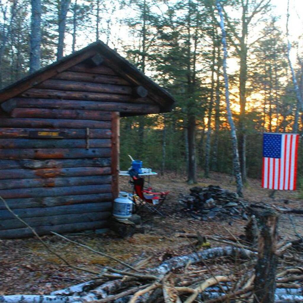
Home for the weekend


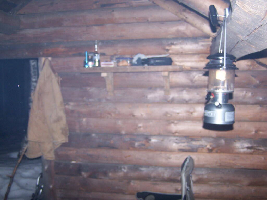
It was nice and warm, even at 9 PM at night, and the light from the lantern was plenty for doing a little bit of reading.
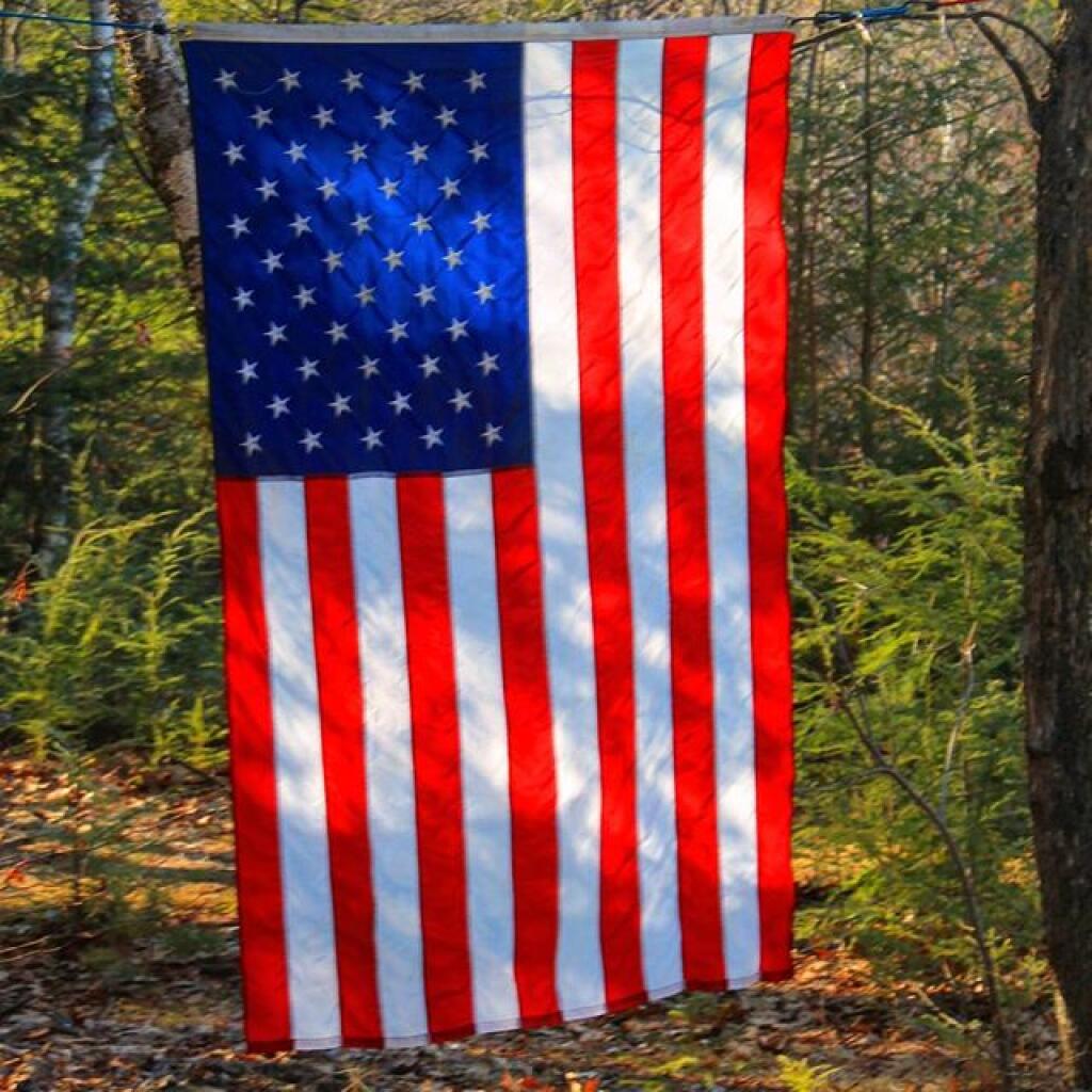
Saturday March 20, 2010 — Dutch Settlement State Forest — Dutch Settlement State Forest 🗺