Dolly Sods Hike on October 28, 2023
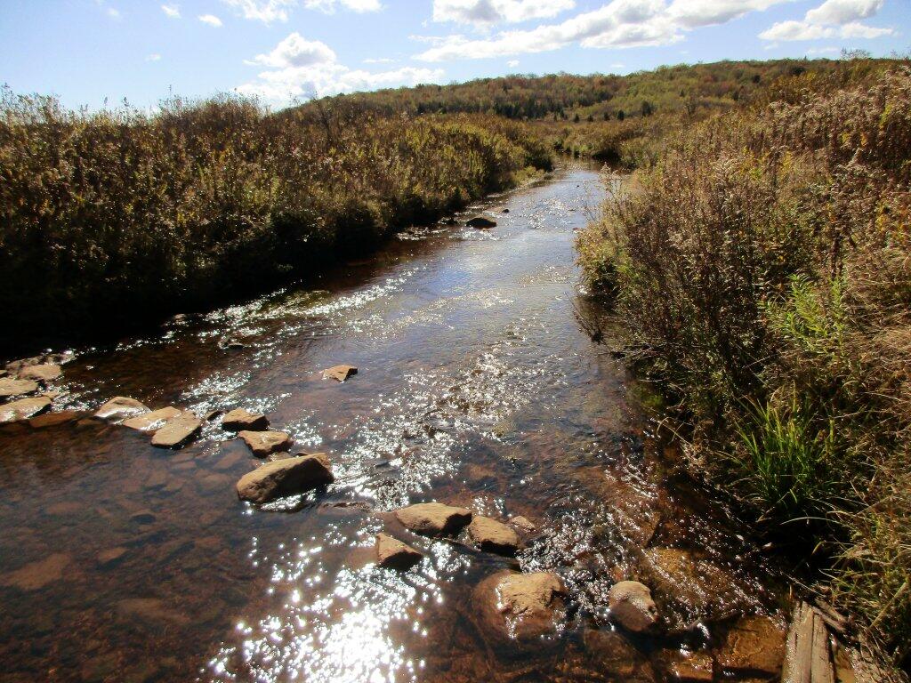
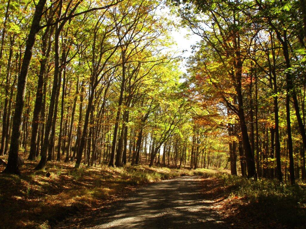
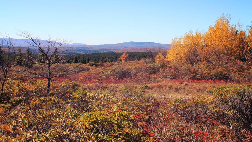
I had never hiked the back part of Dolly Sods until last week. It was a nice hike, though I forgot about the wet crossing on the Red River and never got up to Appalachian Front or Bears Rocks as I had hoped.

I had never hiked the back part of Dolly Sods until last week. It was a nice hike, though I forgot about the wet crossing on the Red River and never got up to Appalachian Front or Bears Rocks as I had hoped.

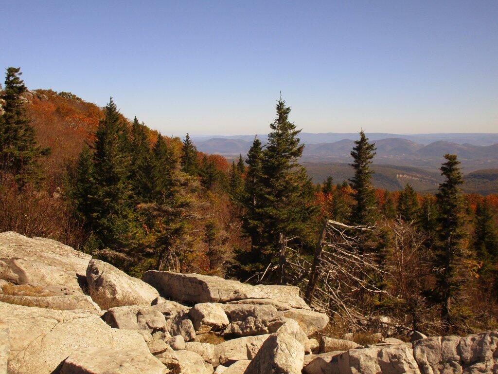

Down by the Red Creek, where much of the rain collects from storms hitting the Allegheny Front it can be very soggy, even when the rest of the Sods are super dry. Like all federal wilderness areas, bridges are not allowed, so streams are crossed by stones.
Friday October 11, 2019 — Dolly Sods Wilderness — Dolly Sods Wilderness Trails 🗺