Heath

Looking across the Red Creek to Alder Run Trail which was impassable without getting quite wet due to high water levels in the Red Creek. While many of the colors were faded, there was still some nice color in the heath, it's bright red color emblematic of the Dolly Sods in the highest locations along the Allegheny Front.
Friday October 27, 2023 — Dolly Sods Wilderness — Dolly Sods Wilderness Trails 🗺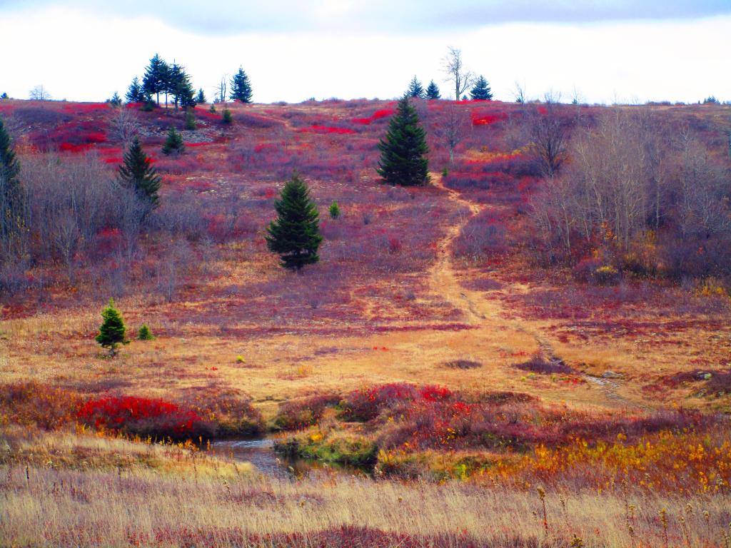

Looking west from Canaan Mountain down into the valley.
Friday October 27, 2023 — Dolly Sods Wilderness — Dolly Sods Wilderness Trails 🗺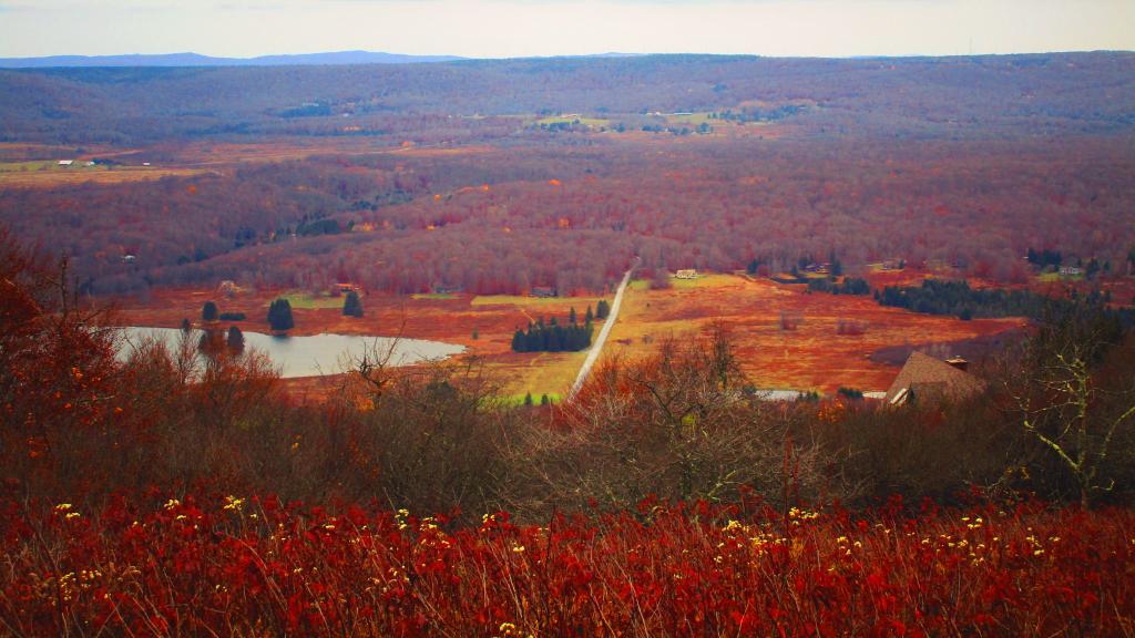

With the high winds and dry conditions, Mountain Laurel isn't as common up at Dolly Sods as it is in Canaan Heights and other locations. But you can find it in more protected parts of Dolly Sods, like on this location on the Western side of the Allegheny Front.
Friday October 11, 2019 — Dolly Sods Wilderness — Dolly Sods Wilderness Trails 🗺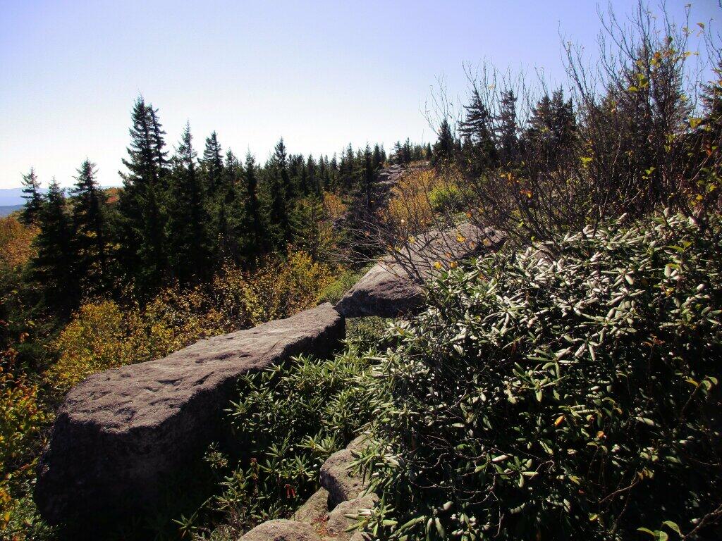

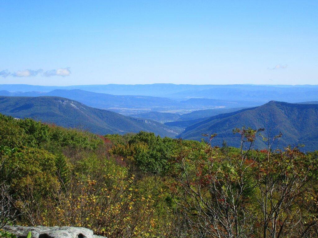
While not a lot of color on the lower peaks, it was still a beautiful early October Day looking down from the Allegheny Front at the lower peaks towards North River Notch and Petersburgh, West Virginia.
Friday October 11, 2019 — Dolly Sods Wilderness — Dolly Sods Wilderness Trails 🗺