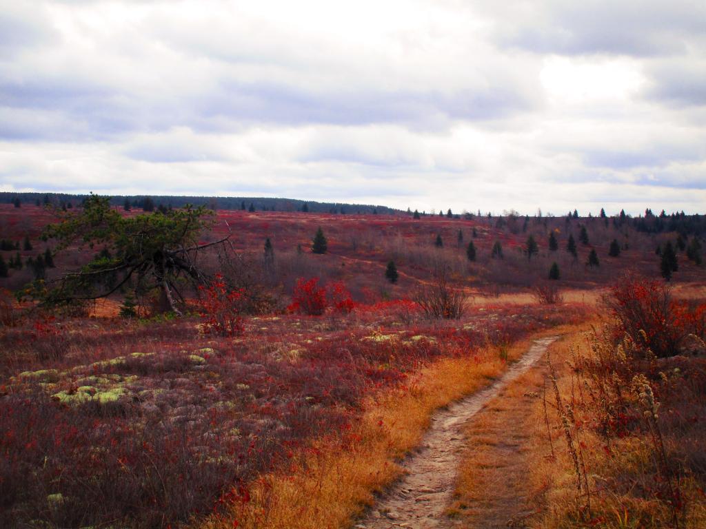
Afternoon at Dolly Sods
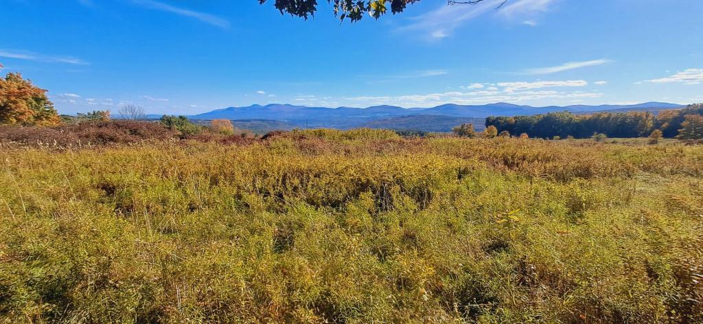
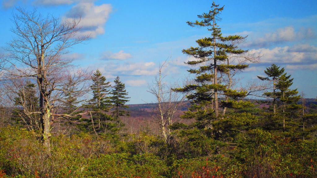
After a rather cloudy morning at Dolly Sods, things cleared out. Exploring the western part of sods is interesting, it is much more like around Canaan Heights then the eastern portion which is mostly heath barren.
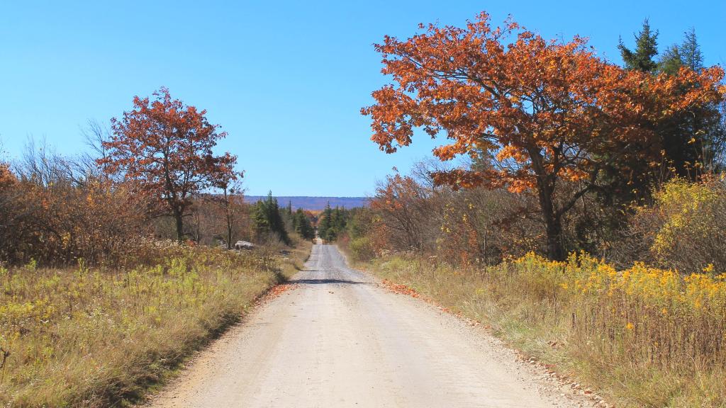
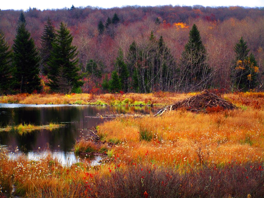
Friday October 27, 2023 — Dolly Sods Wilderness — Dolly Sods Wilderness Trails 🗺