Blue Circle Cement



The only lawful access to the east side is by crossing the Coeymans Creek with bouts in low water and waiters in high. I knew the west side via under the Thruway was posted but I was hoping the old road shown on my map wasn't. I guess that would mean less hunting pressure there.
Sunday March 7, 2021 — Coeymans Creek Wildlife Management Area — Coeymans Creek WMA 🗺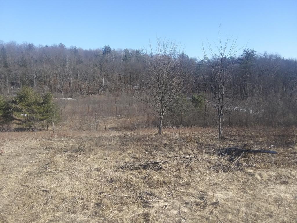

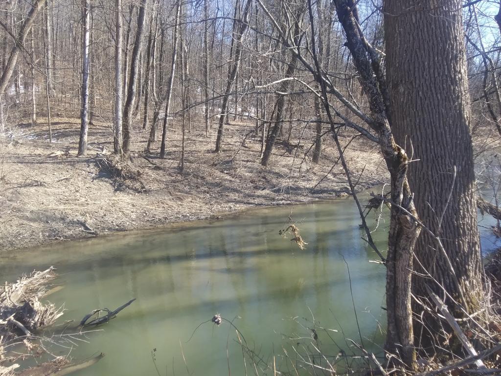
I am going to have to do a new Coeymans Creek Wildlife Management Area map now that I’ve explored it some more. I was hoping to see the bigger east parcel but it’s going to have to wait until water levels are down and I have my rubbers on. I also want to overlay the Albany County tax map to better understand access to the parcel.