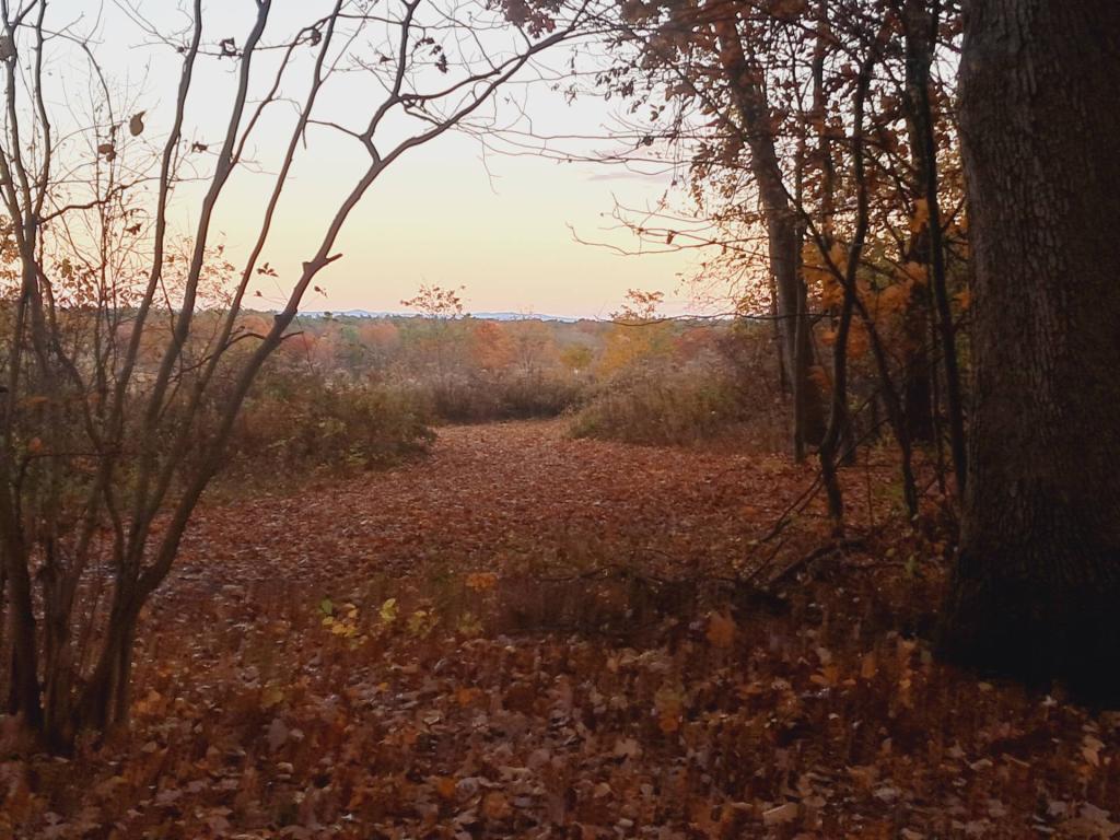
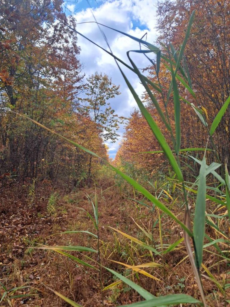
In the mid-1990s, Albany purchased several large parcels of land in Coeymans across from the LaFarge Cement Plant on Coeymans Creek for purposes of constructing a regional landfill. Ultimately, these lands were sold to the state for purposes of public hunting grounds.
There are 358 acres of state land that can be accessed via Old Ravena Road and Stylabrick Road, providing access to the Coeymans Creek behind the cement plant, along the Thruway.