Chenango Canal 📍

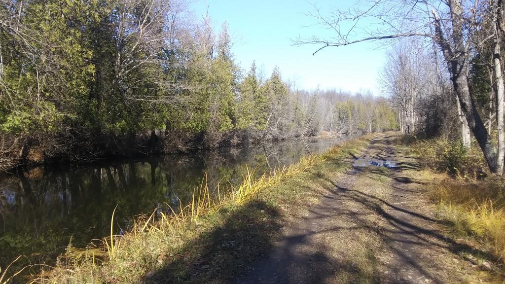
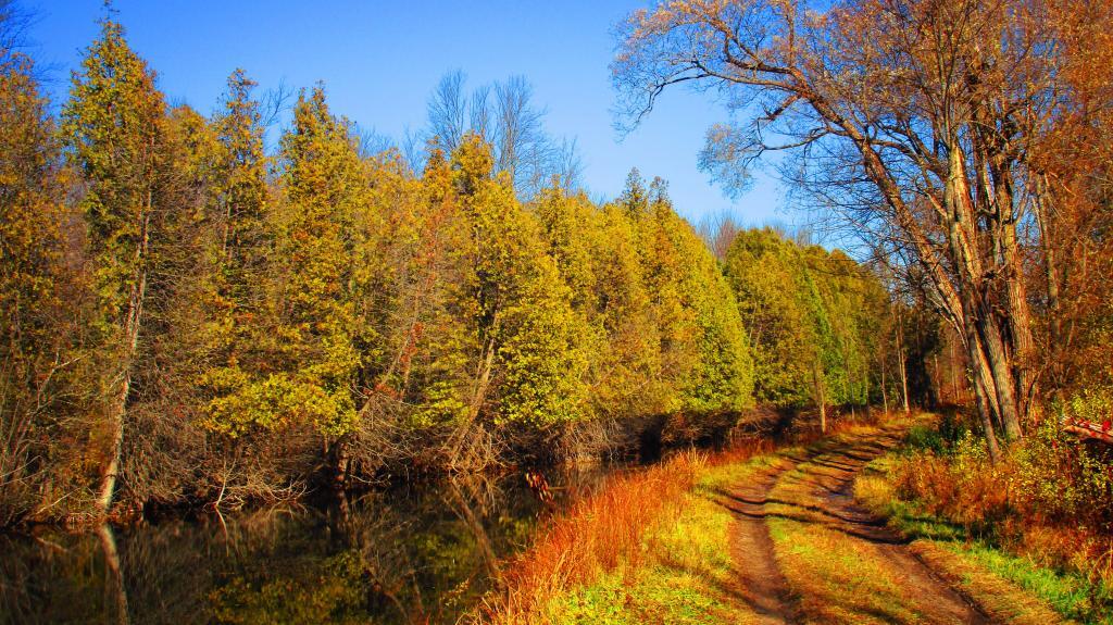
The Towpath Trail in Bouckville leads two miles North from the museum to the Oriskany Creek where an aqueduct once crossed the creek. The hand cut stone abutments are still there in excellent condition and water from the canal spills into the creek heading north to the Erie Canal. Photo Room for 2-3 cars on Canal Road just past the creek crossing.

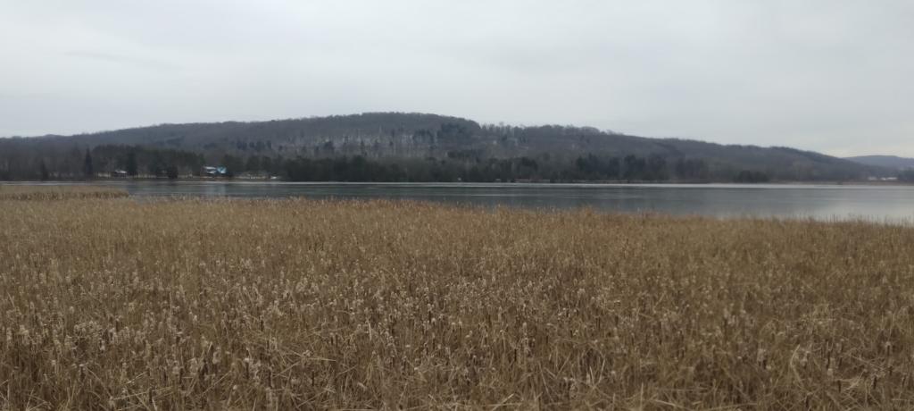
Walking 6.5 miles south from the Canal Museum leads to the Village of Hamilton. OR, park at the trailhead on Montgomery Street in Hamilton (opposite the Sunoco station) and start the trail here. The trail leads north past the Hamilton Airport and Woodman’s Pond all the way to Bouckville at the museum.

http://www.chenangocanal.org/Visit_the_Canal/visit_the_canal.html

🖼️ Photos 📽️ Videos
Thematic Map: Primary Direction of Hillsides in NYS - Aspect
3D Map: Broomstick Lake Trail
Map: Long Lake Lean-Tos
Terrain Map: Moorefield WV
Map: Kasoag State Forest