Rondout Reservior
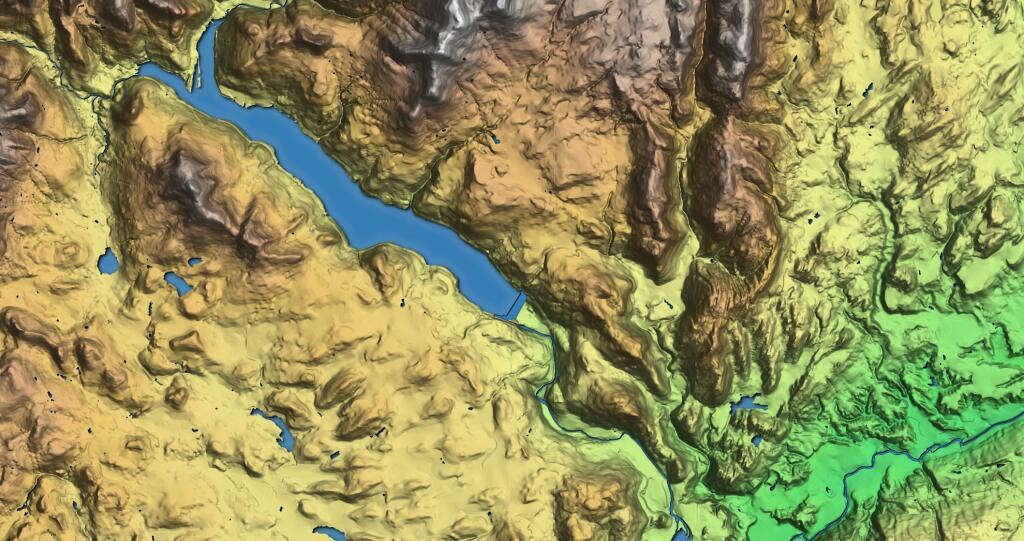
This hillshade terrine map shows the terrain around the Roundout Reservoir.

This hillshade terrine map shows the terrain around the Roundout Reservoir.

Catskill Map - NYSDEC, 1970
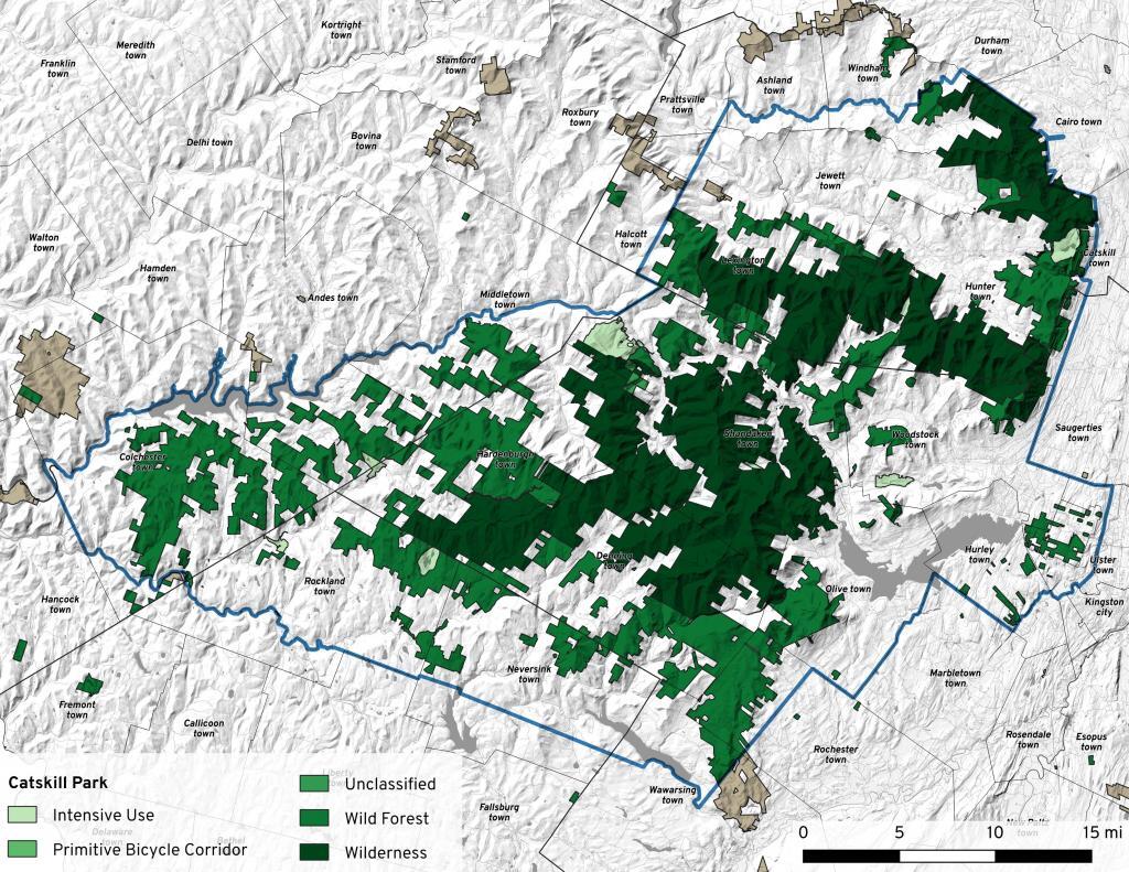
Cadastral map of the Catskill Park, produced for New York State Department of Environmental Conservation to illustrate the general location of New York State lands.
https://mapwarper.net/maps/44107#Preview_Rectified_Map_tab
For comparison sake, on the base map is also shown State Lands in Green to show properties acquired by the state in the past fifty years.

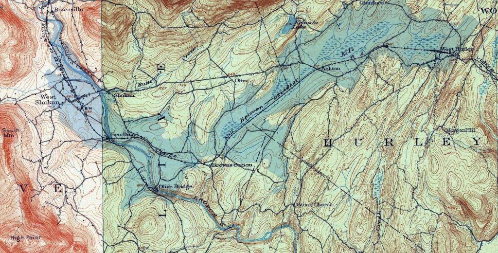
Lately I've been fascinated by the lost communities that were demolished for reservoirs both hydroelectric and water supply. Today we look at the Ashokan Reservoir that was built over the communities of West Shokan, Broadhead and West Hurley.

There are some odd and colorful hamlet and village names within the Catskill Park. Warmer colors show higher elevation while cooler colors are lower elevation hamlets.
Data Sources: Open Street Map, US Census, NYS DEC Catskill Park Boundaries.