[nychistory id=”26555″]
Costcos (After vs. Before)
The Pyramid Corporation has proposed to demolish a neighborhood in the Albany Pine Bush.

The Pyramid Corporation has proposed to demolish a neighborhood in the Albany Pine Bush.
[nychistory id=”26555″]


This illustration with the aerial photo shows why it's such an important connector parcel to the rest of the Albany Pine Bush Preserve.
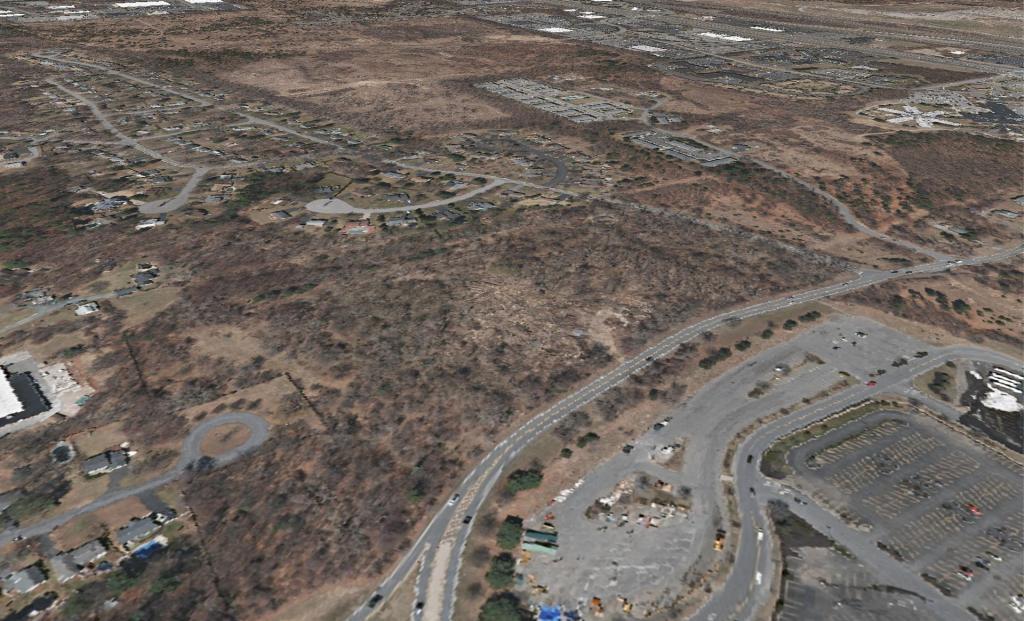

Over the next few days, I am going to posting a series of historical comparisons of the area around Crossgates Maul, that was constructed in area that was fairly good Pine Bush, although much more heavily fragmented before the era of the arterial highways got underway in the 1950s and 1960s.
[nychistory id=”25375″]


