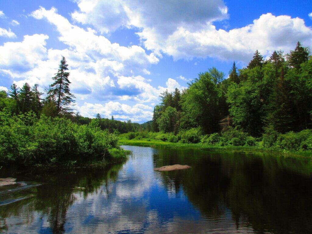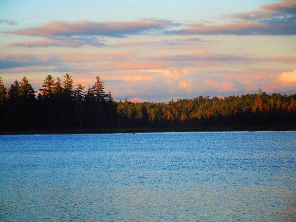
Bog River Flow 📍

🗺️ Maps 🖼️ Photos 📽️ Videos

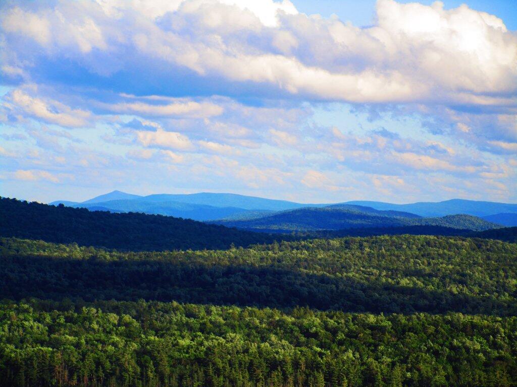
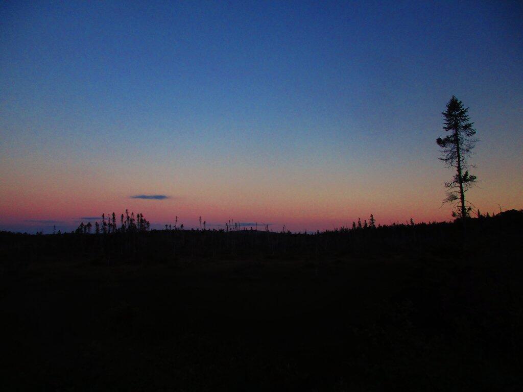
Looking Out Along The Bog

By the time I got off Lows Ledge and stopped at the Hitchens Pond Carry for a bit, it was almost 9 PM by the time I got back to my truck. I stopped and snapped this picture of the view along the way of Lows Upper Road, sometimes also called Sabbist Scout Camp Road. The road is gated, but it is maintained for DEC vehicles and the utility corridor that runs under it, and is a pleasant walk.

Wednesday June 24, 2020 — Bog River FlowBog River and Winding Falls Trails 🗺Bog River Trail 🗺PDF with All Maps 📚
Thematic Map: Primary Direction of Hillsides in NYS - Aspect
Map: Shindagin Hollow State Forest Ortho
Map: Severence Hill Trail
Terrain Map: Happy World Milk Day!

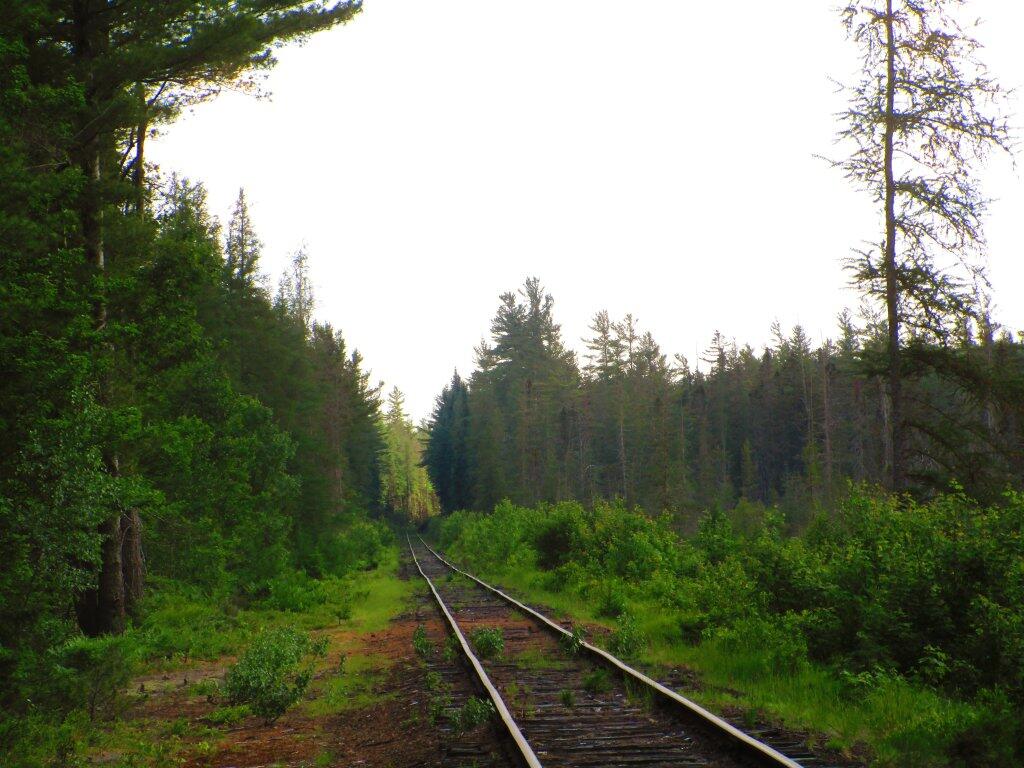
Along The Adirondack Scenic Railroad Tracks

On Tuesday night, I walked along the Adirondack Scenic Railroad Tracks, which get little use since last year's wash out by Rollins Pond. The tracks were quiet, as they wandered through the wilderness. I saw a black bear and cubs, and not being sure if I locked up my truck fully, I headed back to camp after walking out about 20 minutes on the tracks.

Tuesday June 23, 2020 — Bog River FlowBog River and Winding Falls Trails 🗺Bog River Trail 🗺PDF with All Maps 📚
Thematic Map: Metro Areas in New York